Buckskin Gulch

Nothing can really prepare you for your first experience in a slot canyon. A few years ago, Bob and I ventured into Southern Utah on a “5 Great National Parks of Utah” tour. We only had a month at that time, but we managed to do Arches, Canyonland, Capitol Reef, Bryce and Zion. BUT…. we also made it to Grand Staircase Escalante National Monument that is positioned in between Capitol Reef and Bryce. It encompasses an enormous area of land, over 1,880,461 acres in southern Utah. Thinking we would actually see a “staircase”, was surprised to find out it is named this because of the series of plateaus that descend from Bryce canyon south toward the Grand Canyon, marked by vertical drops at the Pink Cliffs, Grey Cliffs, White Cliffs, Vermillion Cliffs and Chocolate Cliffs. 

This year we had a lot more time to spend in this beautiful area. We had planned for a month, just in Grand Staircase, and we started in the Vermillion Cliffs, west of Page, AZ, and then wandered up through Kanab to park for three weeks off of Hole in The Rock Road just east of the town of Escalante, UT. 

Our first slot canyon for this year was actually over in Lower Antelope Valley, but it was not the experience we were searching for. While absolutely beautiful in every way, Antelope is a very popular area and is only visited with a designated tour guide. Your time inside the actual canyon is extremely limited, and the cost is high. (40.00 per person –  approx. 40 minute tour). Located on Navajo land, the tours in the Lower area are run by a brother and sister team. The colors in the canyon were so amazing, but I felt like my eye never left the viewfinder trying to capture it with the camera. I didn’t get the solitude feeling that a slot canyon can bring on and nurture in your soul. 

But……the canyons of Escalante are open to all to with a simple day use permit. You can spend a day, you can spend the night. You just have to obtain a permit at one of the BLM offices in the area, or fill it out at the trailhead. We were boondocking right outside the Paria office, but we filled out our permit the day we hiked at the trailhead. 

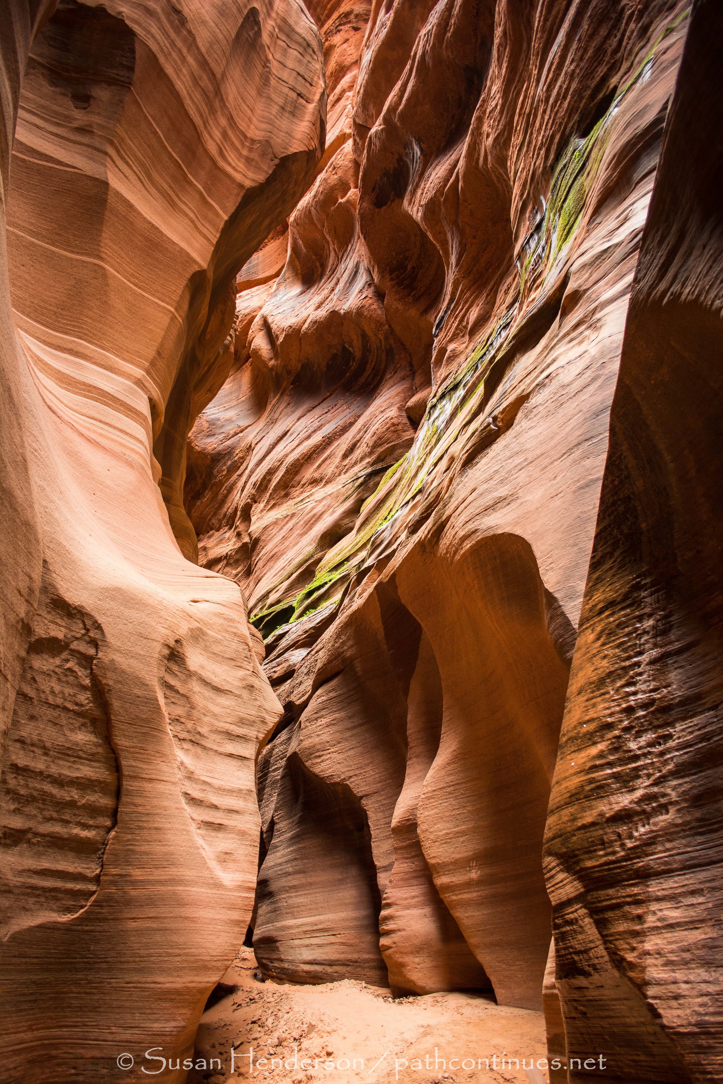
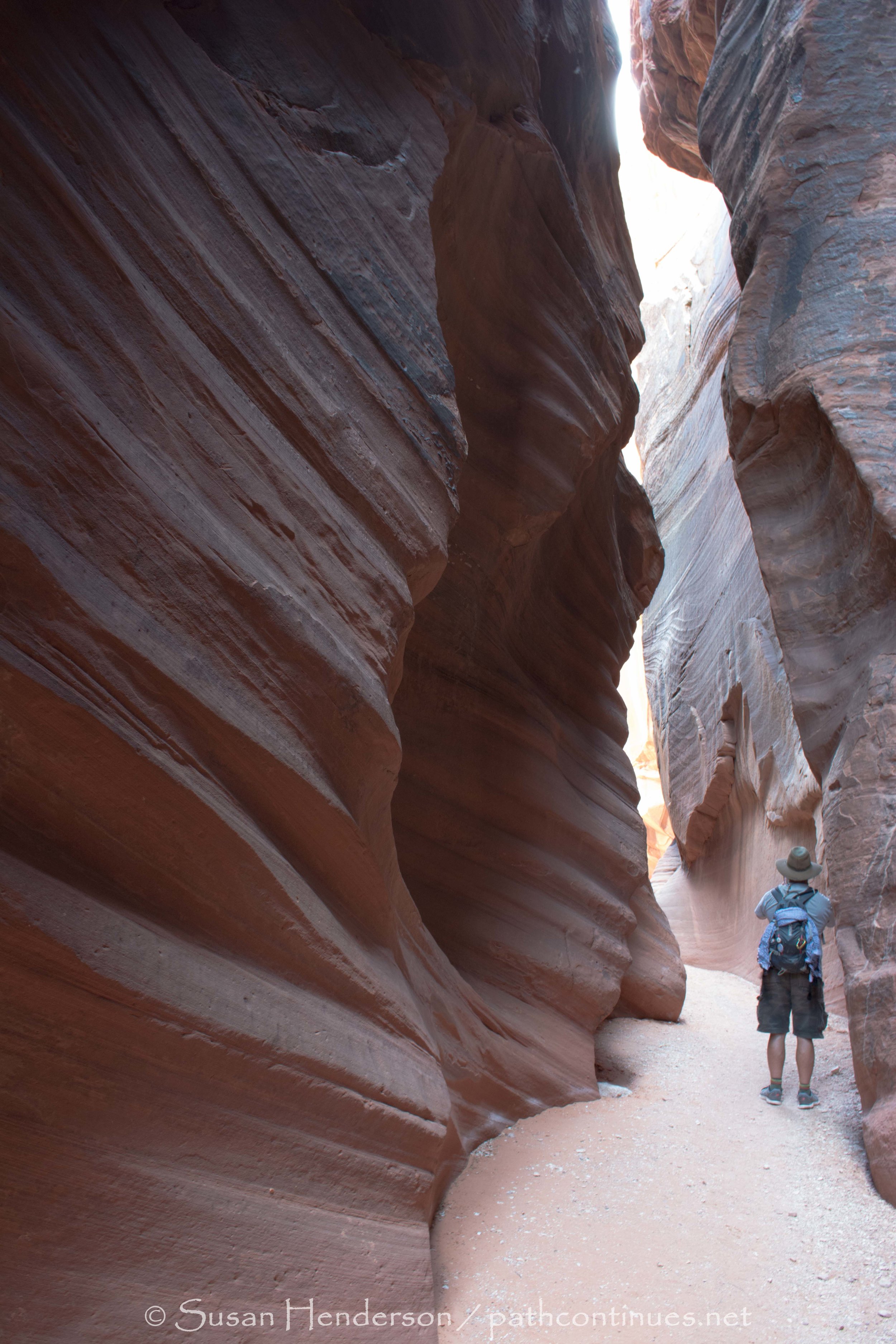
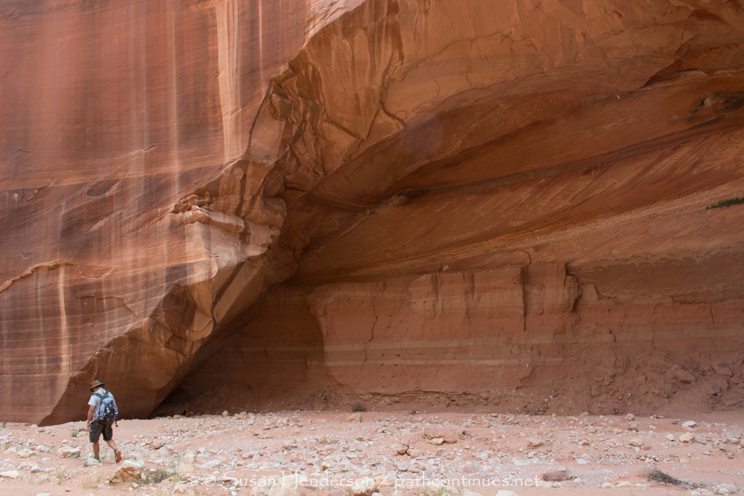
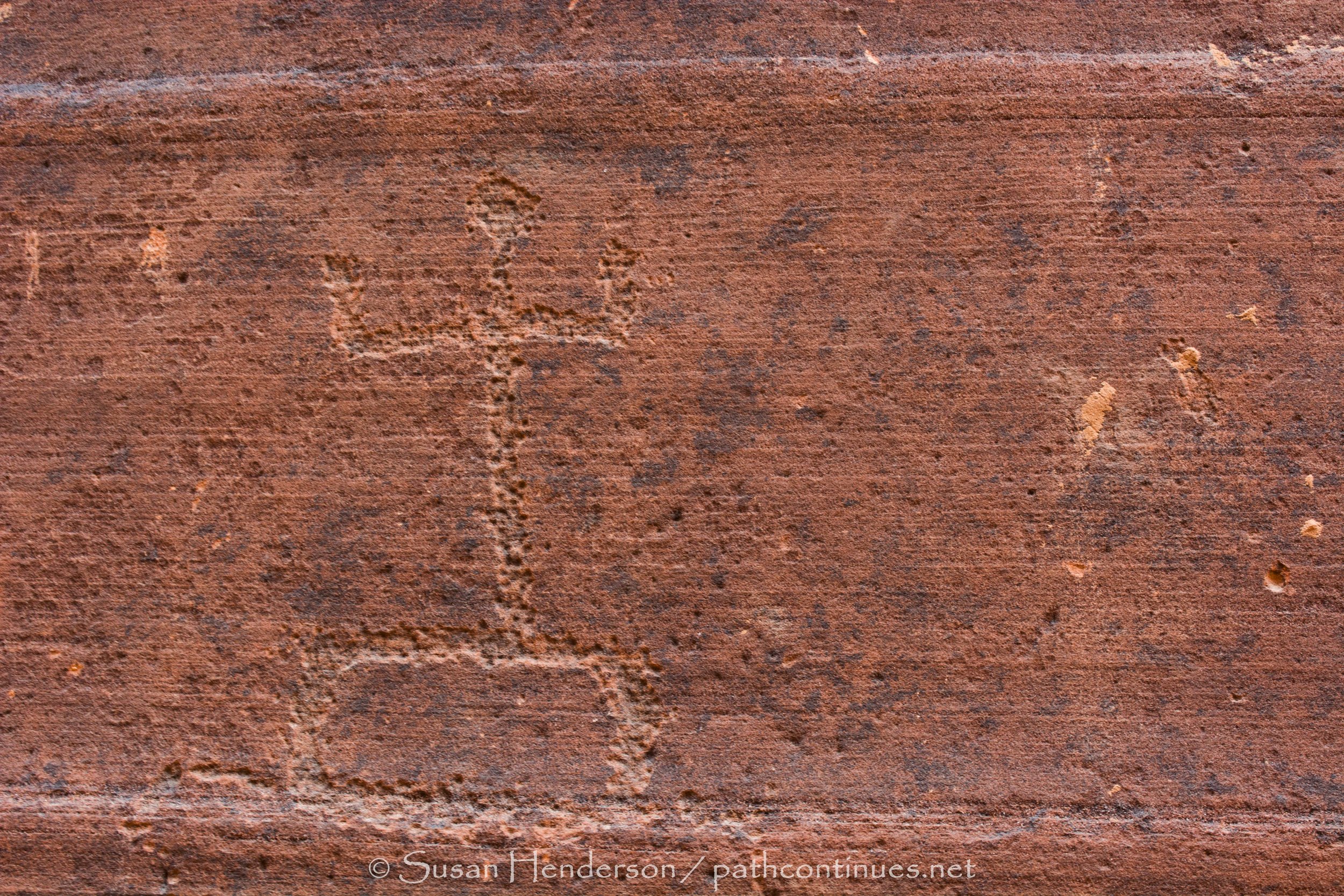
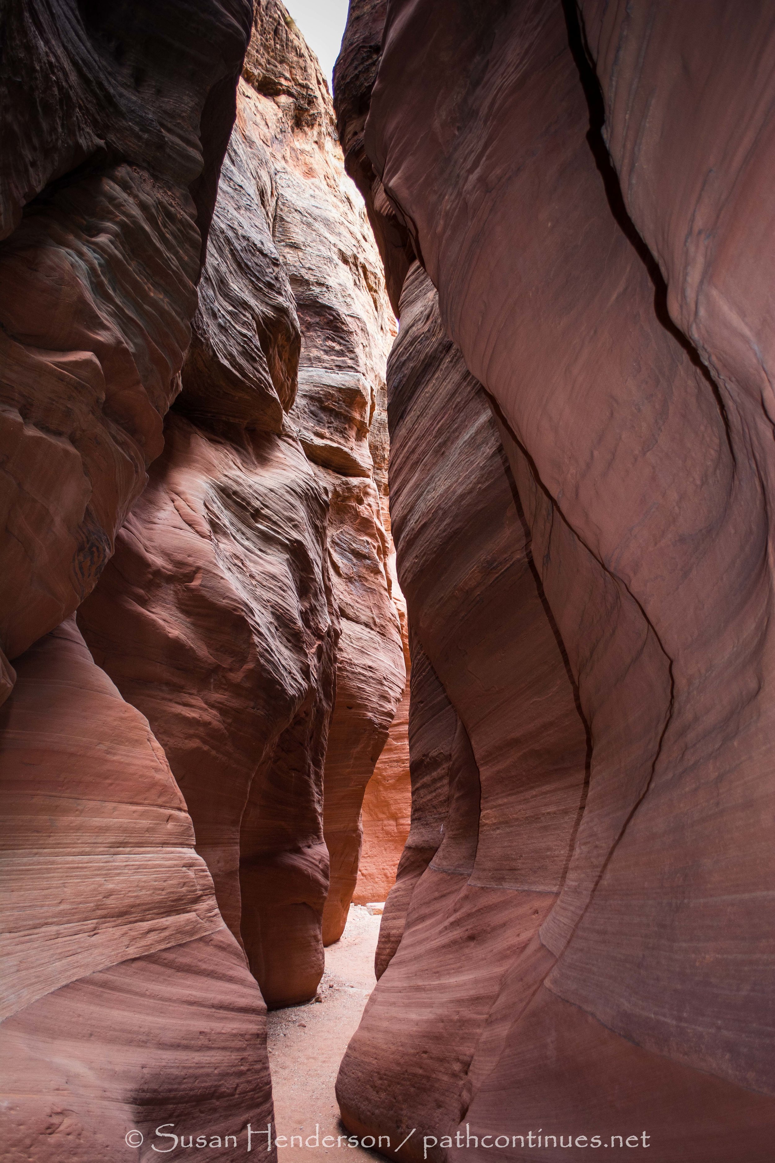
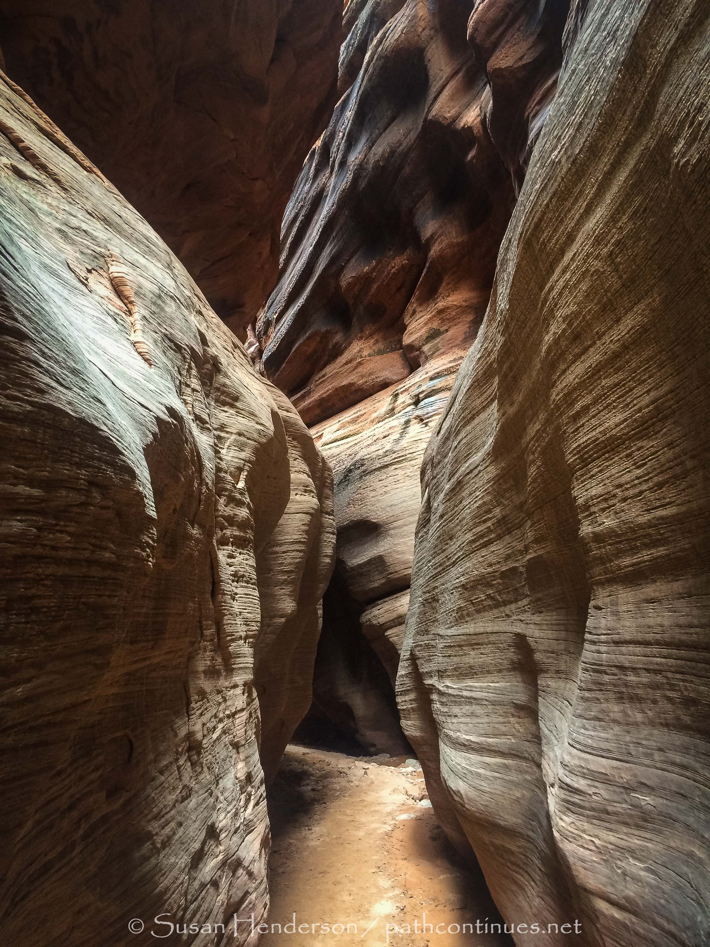
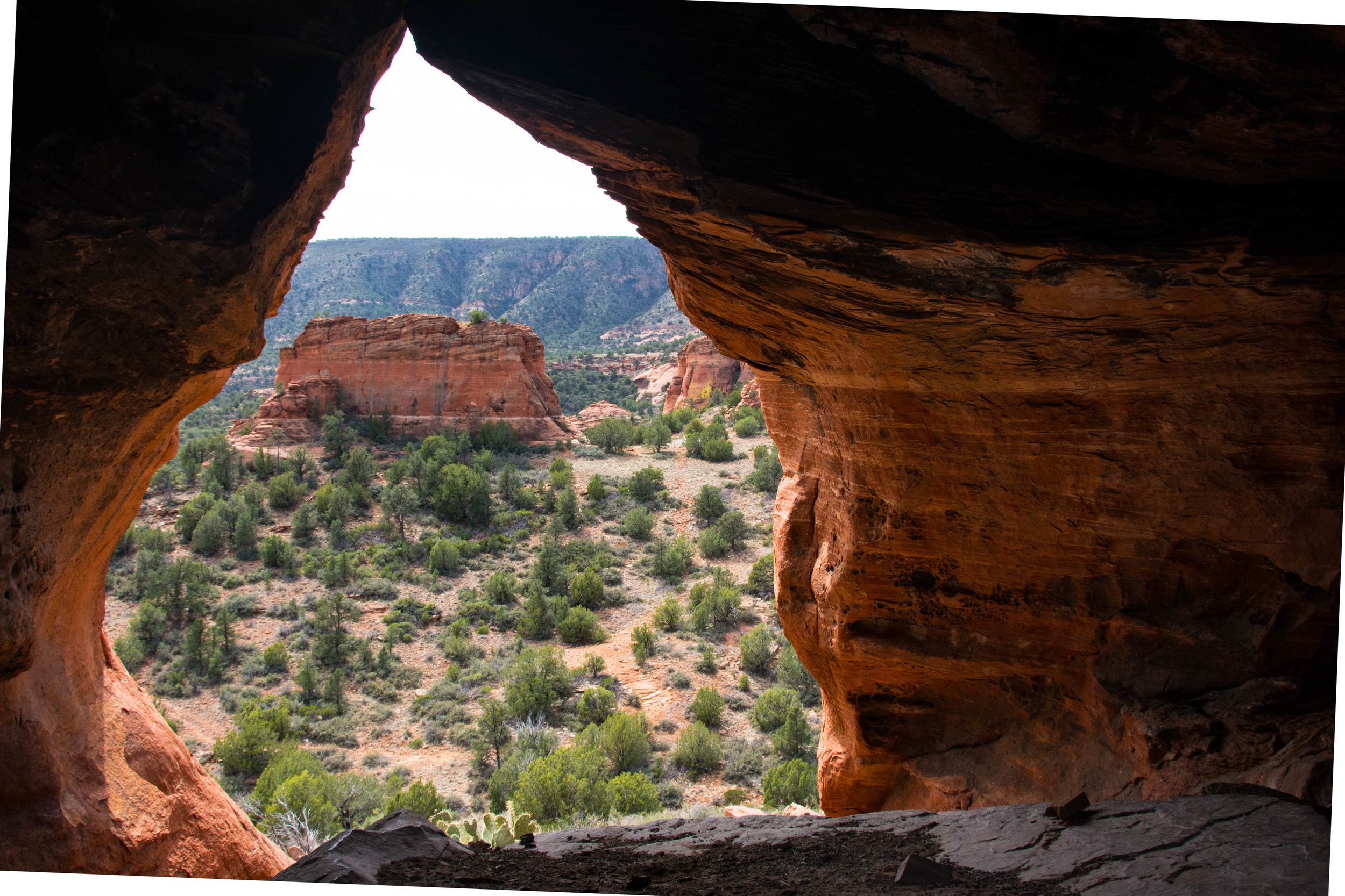
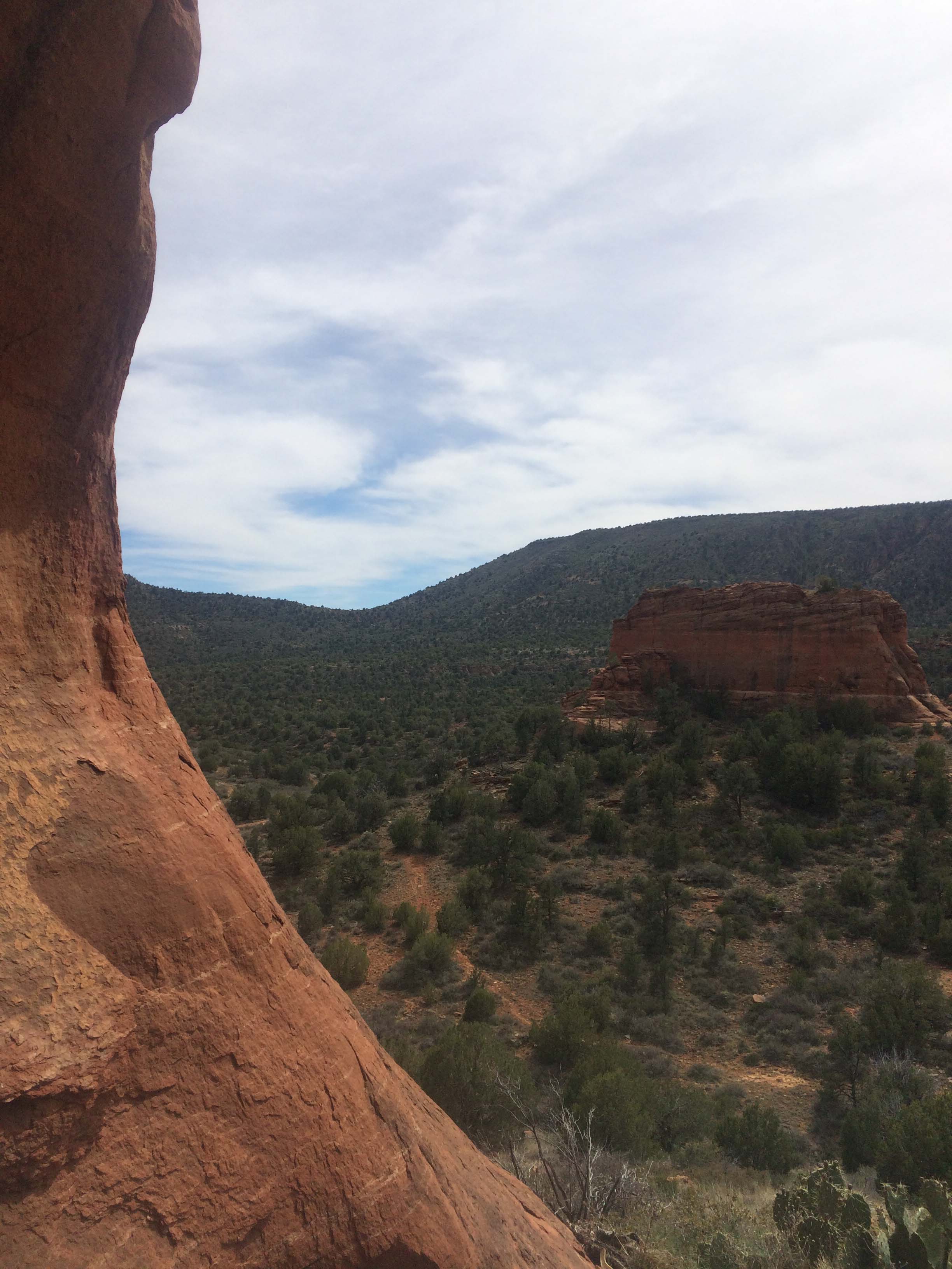
Buckskin Gulch, known as the longest slot canyon in the west – via Wire Pass Trailhead was our destination this day. It was an incredible hike, on a beautiful – but slightly overcast day - and had everything we were looking for. Narrow slots, wide open ones also, slick rock to climb, moss draped rocks, amazing colors, 400’ soaring canyon walls, blooming cacti everywhere and a few challenging climbs. After going almost 2 miles in Wire Pass it will open up and you’ll arrive at the confluence of Wire Pass and Buckskin Gulch, but before you exit Wire Pass, look closely on the canyon wall on the right-hand side. You’ll see a panel of petroglyphs of bighorn sheep. We went about 4 miles in before we turned around, making it a nice 8+ mile day. If we had proceeded to the confluence with the river, and then on to White House Trailhead it would have been another 16, and we would have had to have a vehicle at each trailhead. 
Hints:     
Permits are needed. $6.00 per person/ You can pick it up ahead of time at Paria, or just fill one out at the trailhead. 
    
This is also where “The Wave” is located. I highly sought-after slot canyon that is only open to 20 people per day. Permits for that can be obtained online, 6 months in advance is a good try, and also through the lottery in Kanab. We tried, but didn’t get one.

The slot canyons can be VERY DANGEROUS if there is any chance of precipitation upstream. Know the weather, and heed the warnings. You will see many places in the canyon where debris has been lodged 20’ up when the water was rushing through. 

When you first enter the slot canyon there is a massive rock slide that is about 8’ tall. We didn’t feel comfortable about getting back out, gravity would have gotten us down, so Bob went up and over the slick rock and found us a “social” trail to follow. A bit more climbing, but it drops you down about ¼ mile into the canyon. Make sure and walk back up and see that part also. 

You may  need water shoes depended on what time of year you are hiking.

Small rattlesnakes are prevalent, we were told, but thankfully…we never saw any. 
 

Montezuma Castle / V Bar V Heritage Site

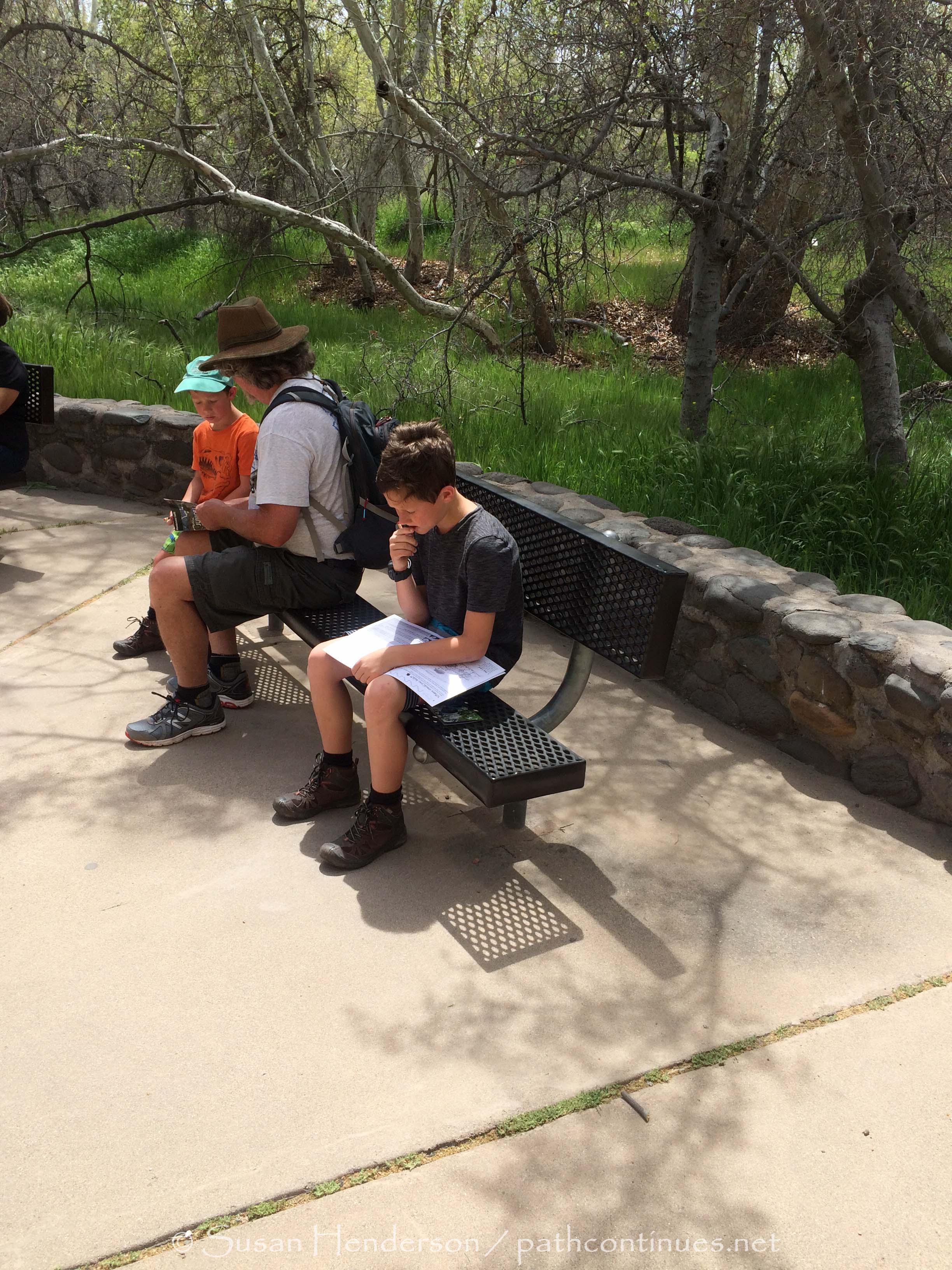
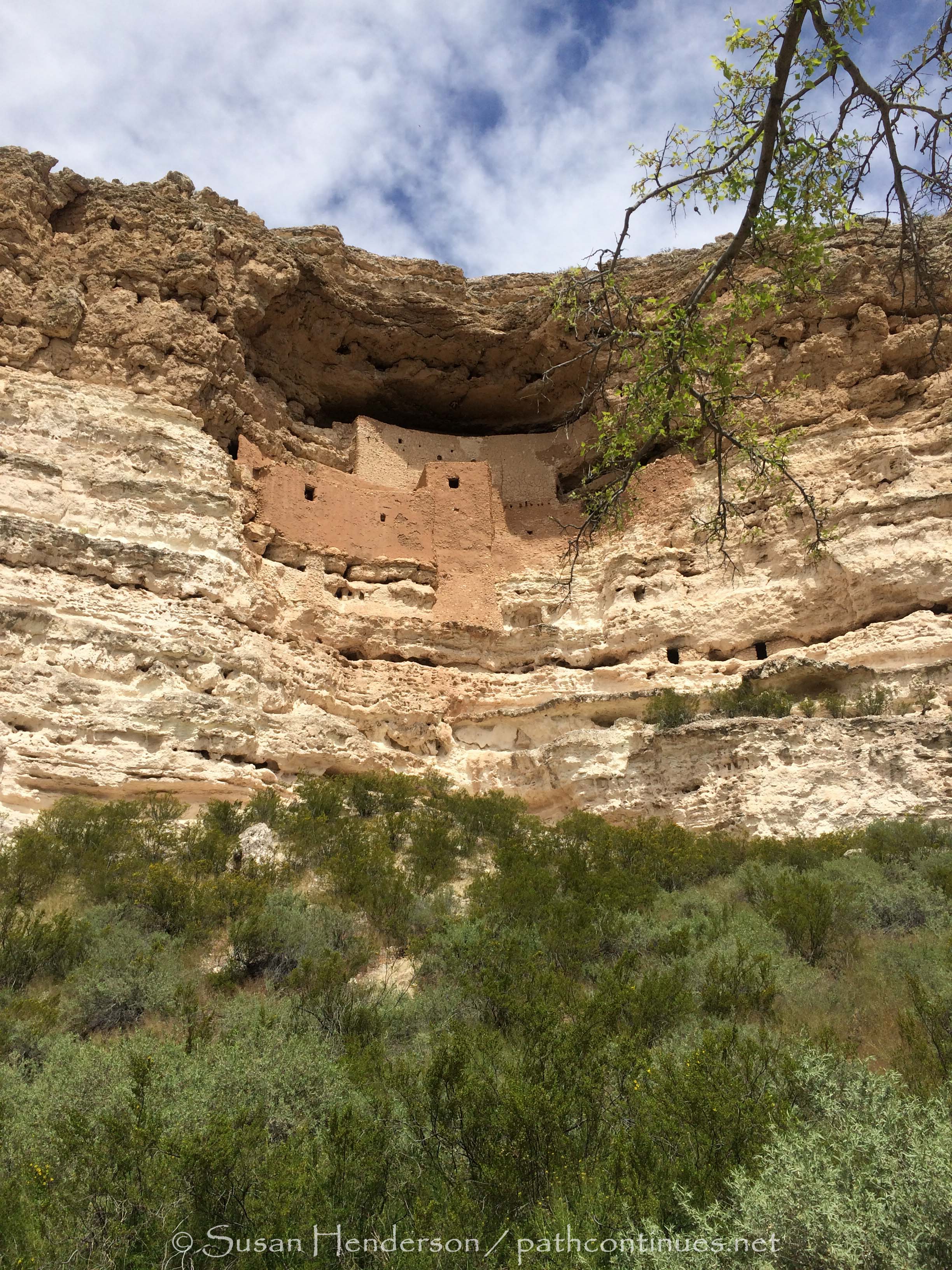
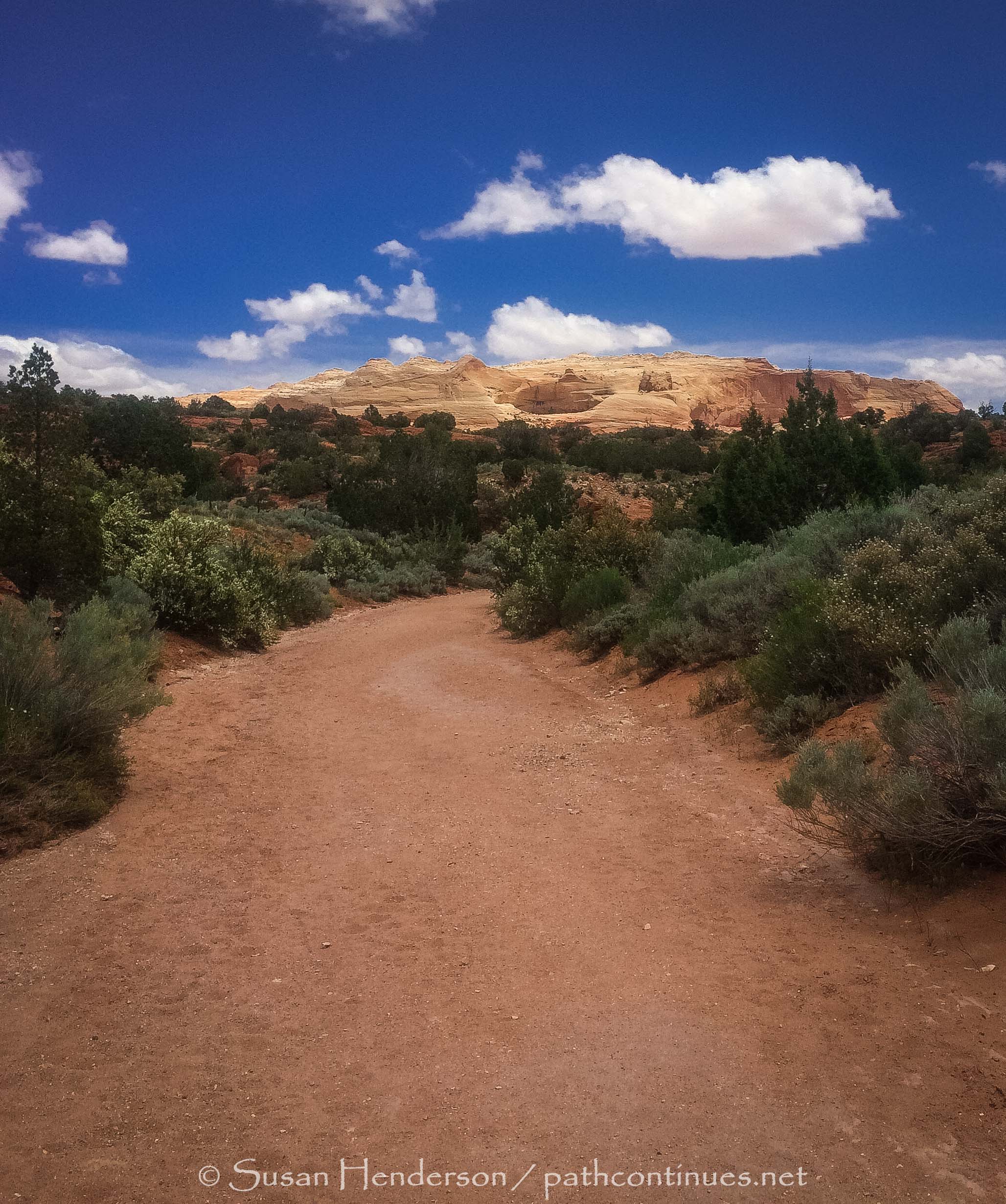
Spent the day with the boys visiting some historical areas in the area. We started the day at Montezuma's Castle National Monument.  There is a short paved walk up to the actual preserved dwellings built by the Southern Sinagua culture between 1100 and 1425 CE. On the way we passed by volunteers that gave the kids info on the Junior Ranger program and a booklet to fill out to get their badge upon completion. It's hard for me to imagine what life was like 800 years ago, so I am sure it was for the boys also, but they took it all in and seemed to appreciate it. 

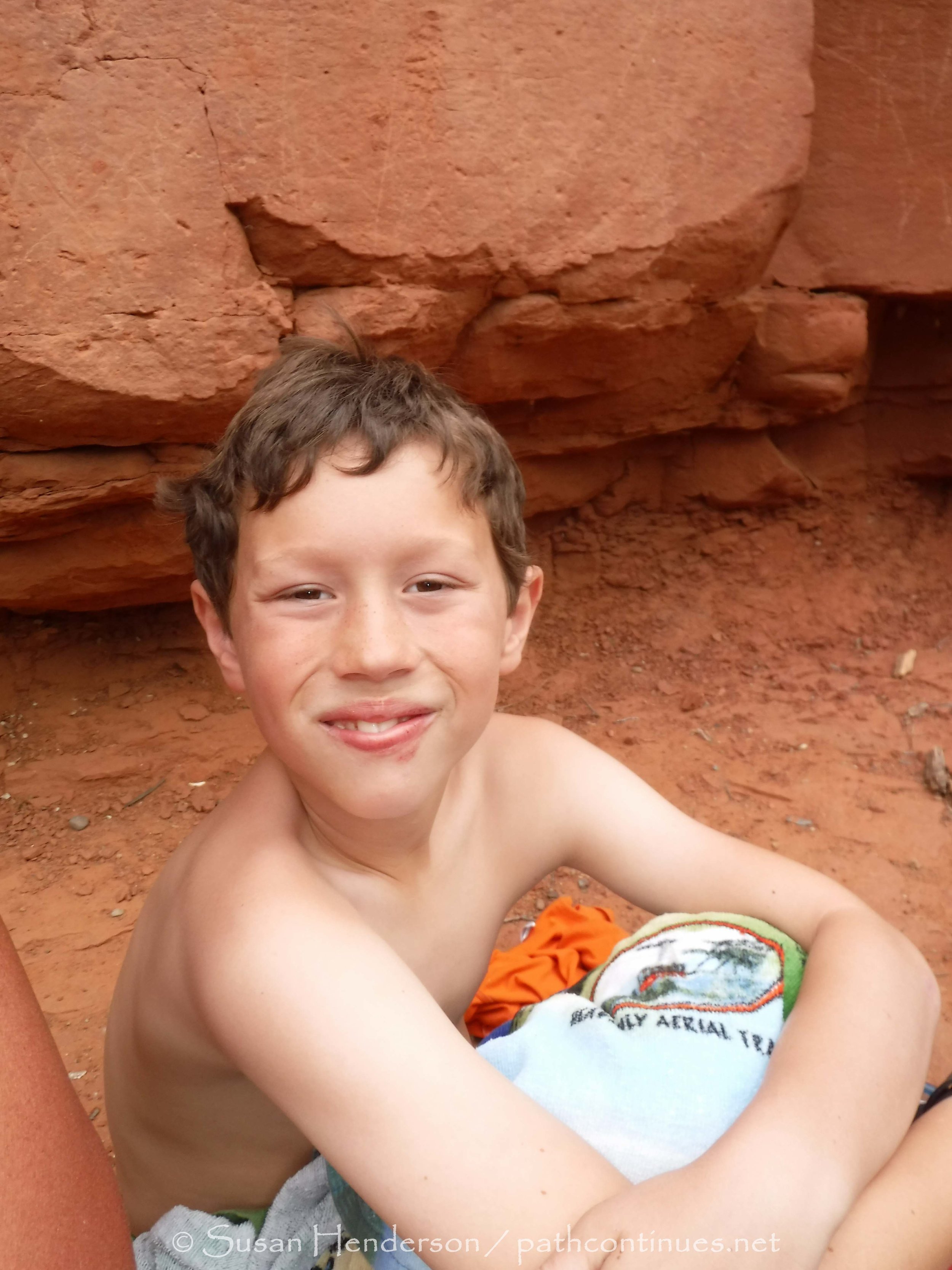
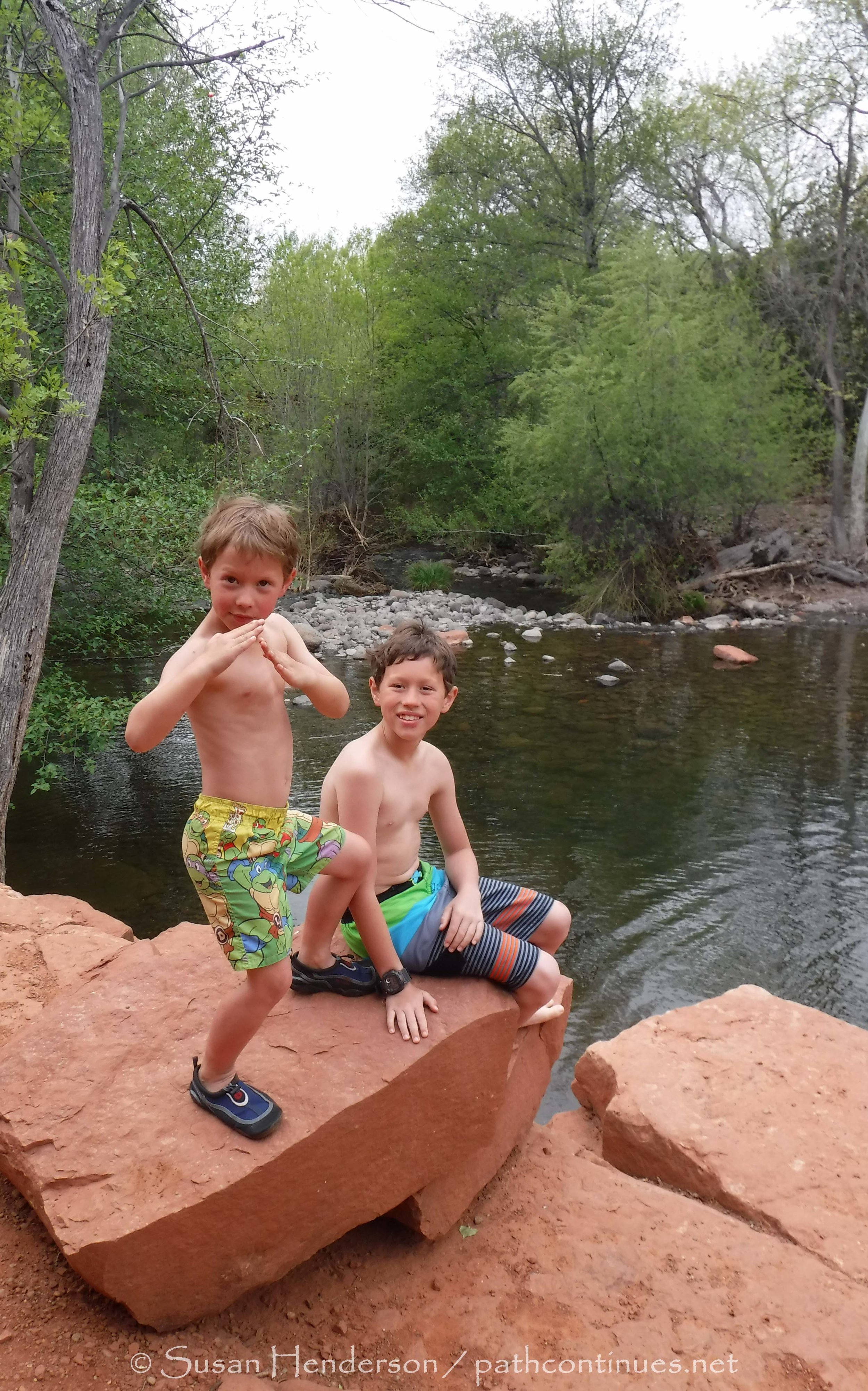
Next stop was lunch picnic and quick dip in Beaver Creek. VERY COLD, Cash was the only one brave enough to get in the water. Beautiful spot to spend the early afternoon.

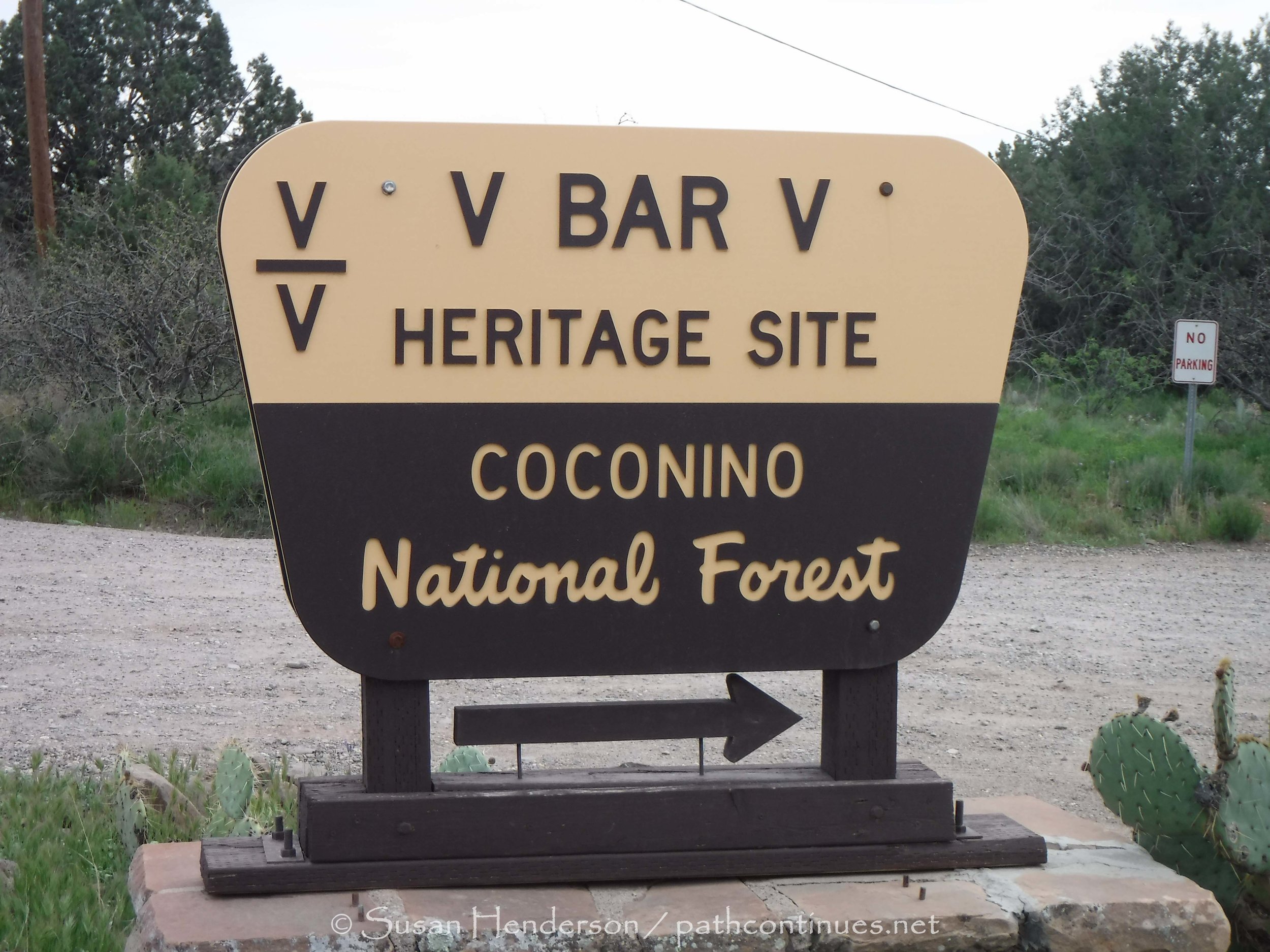
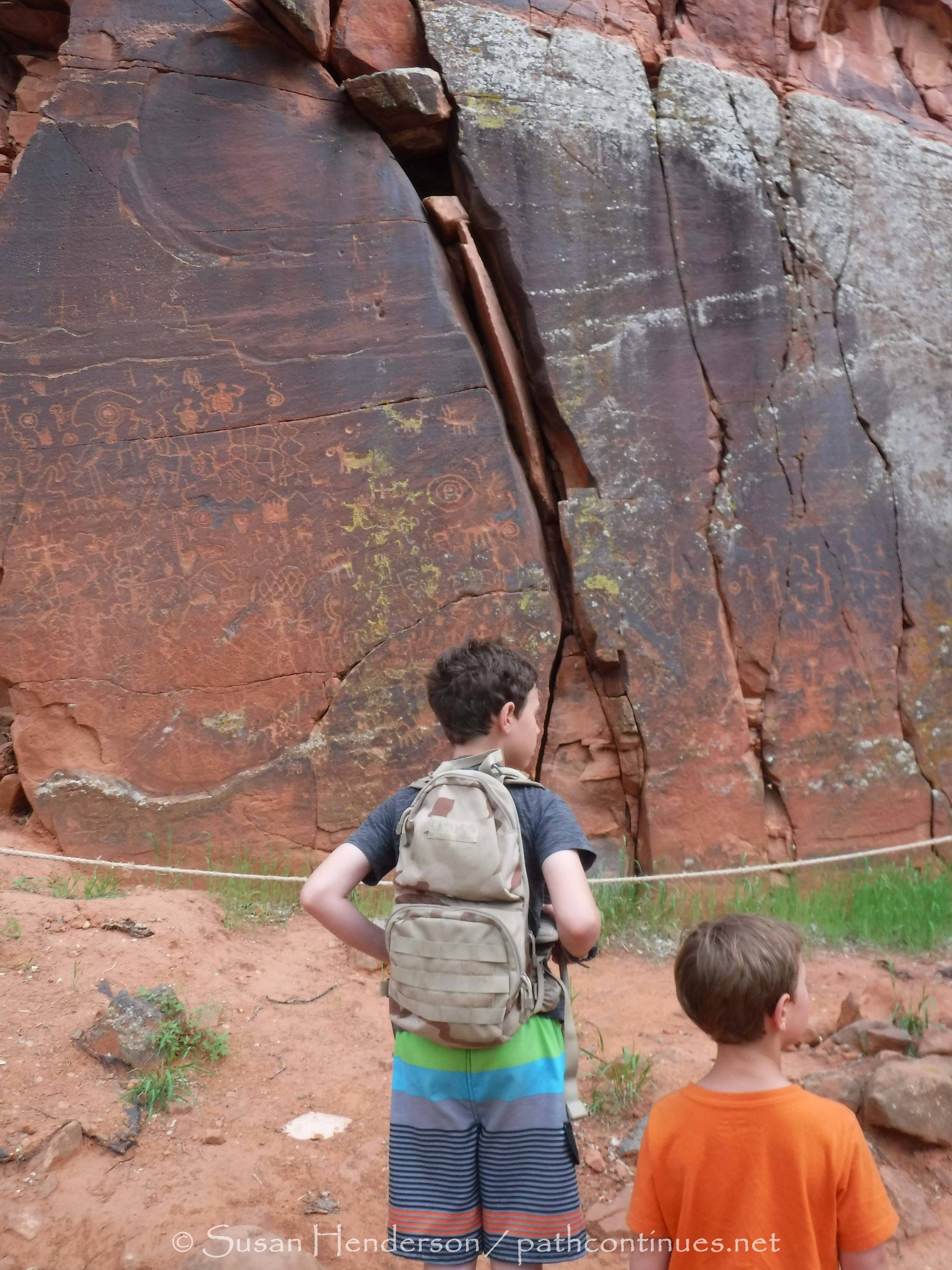
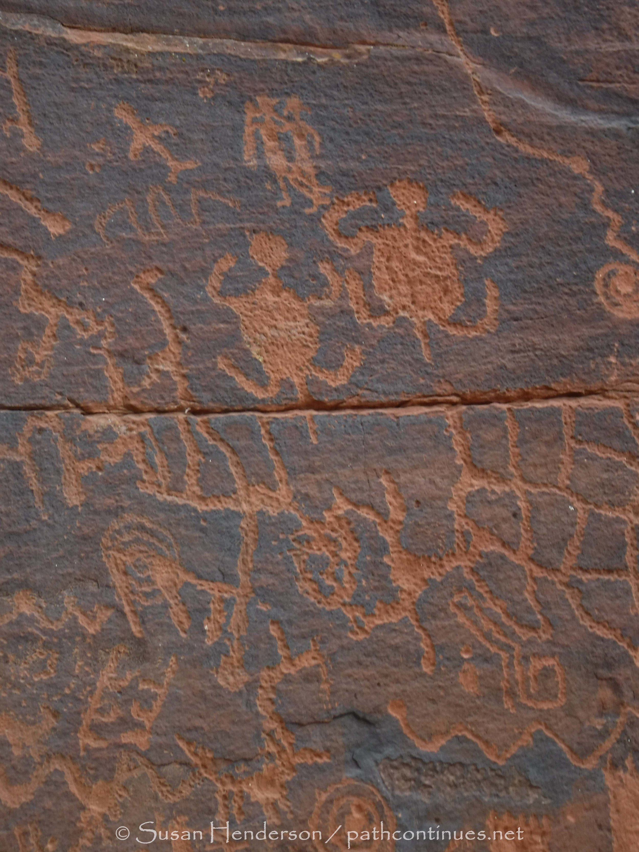
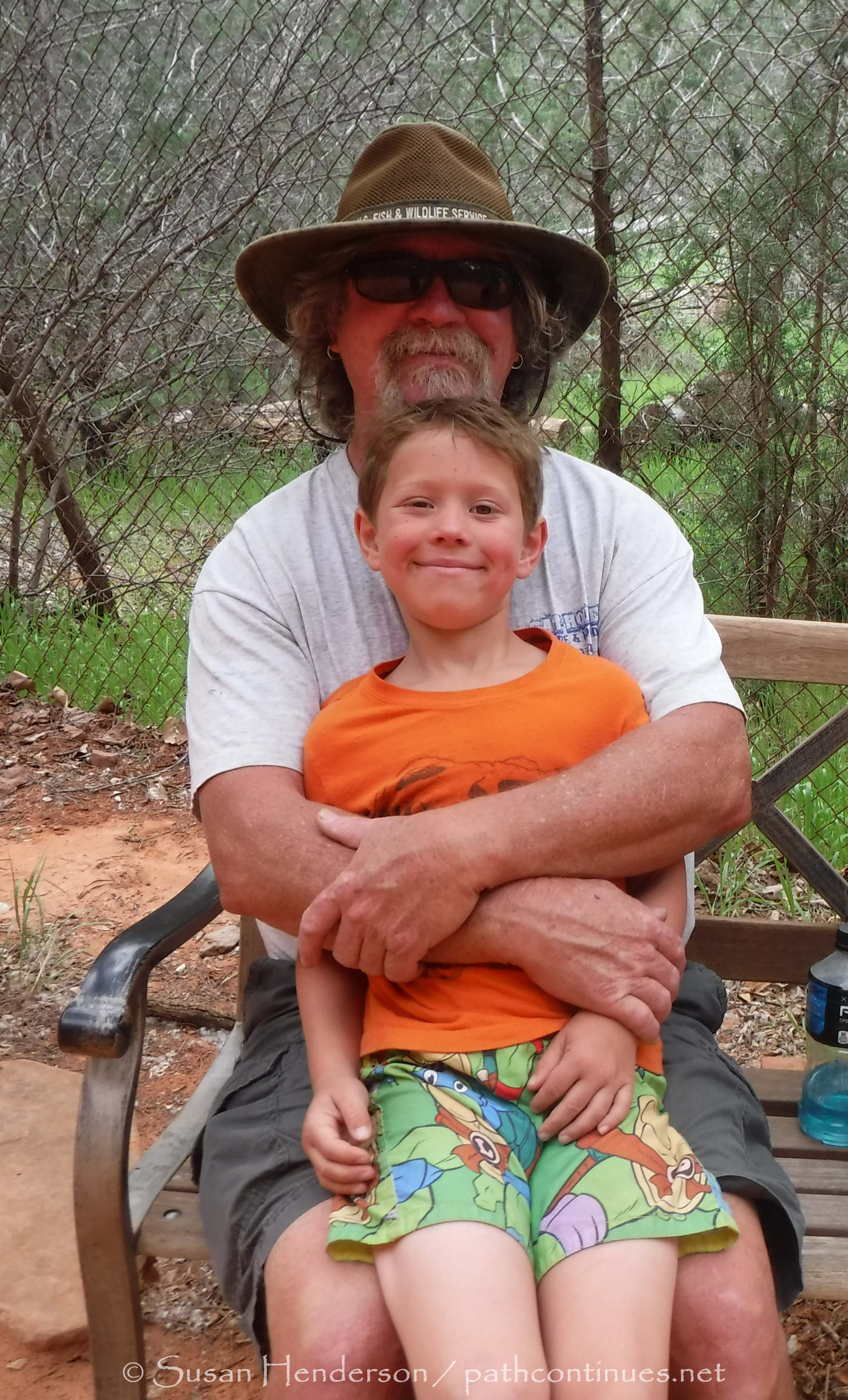
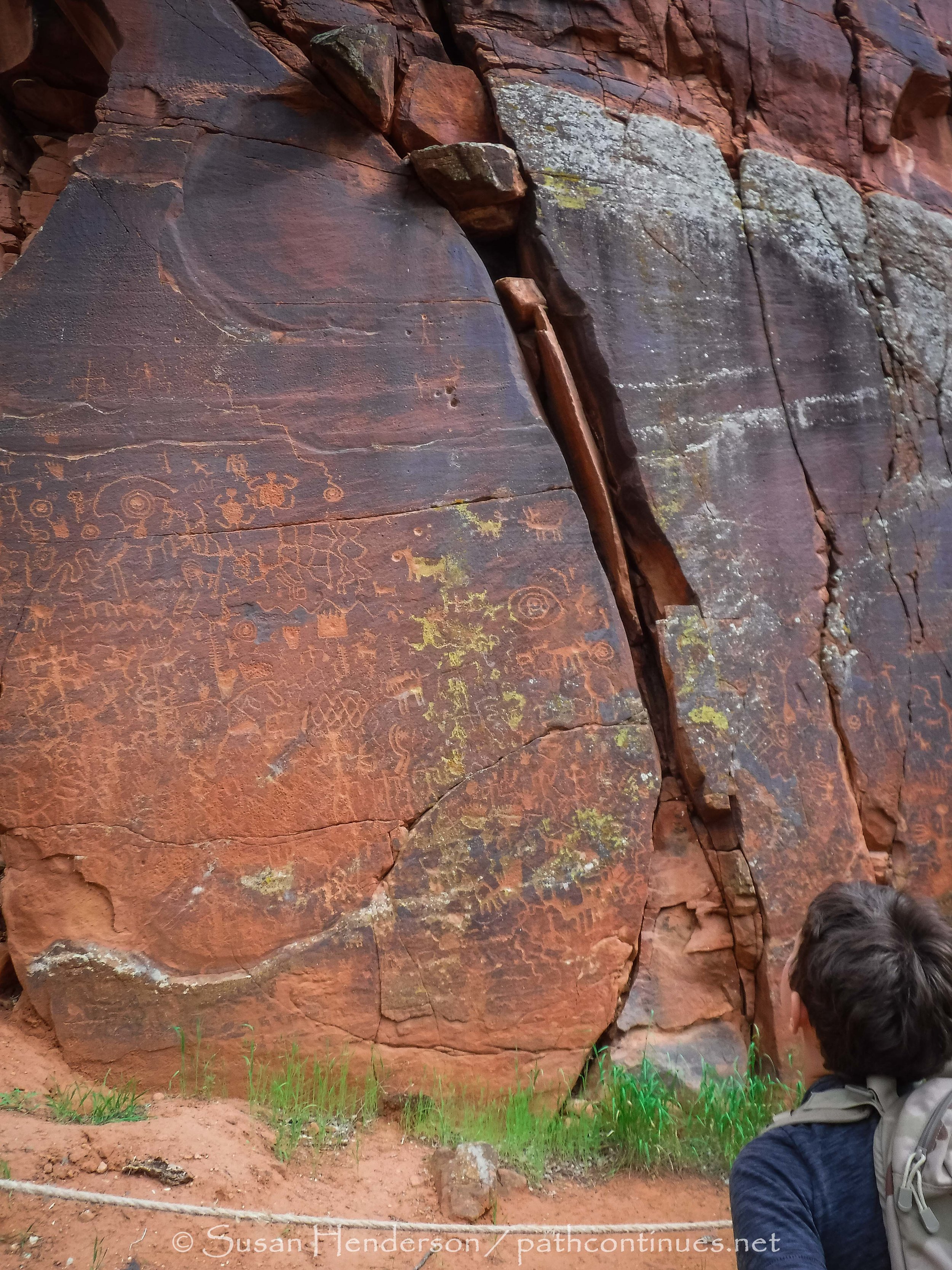
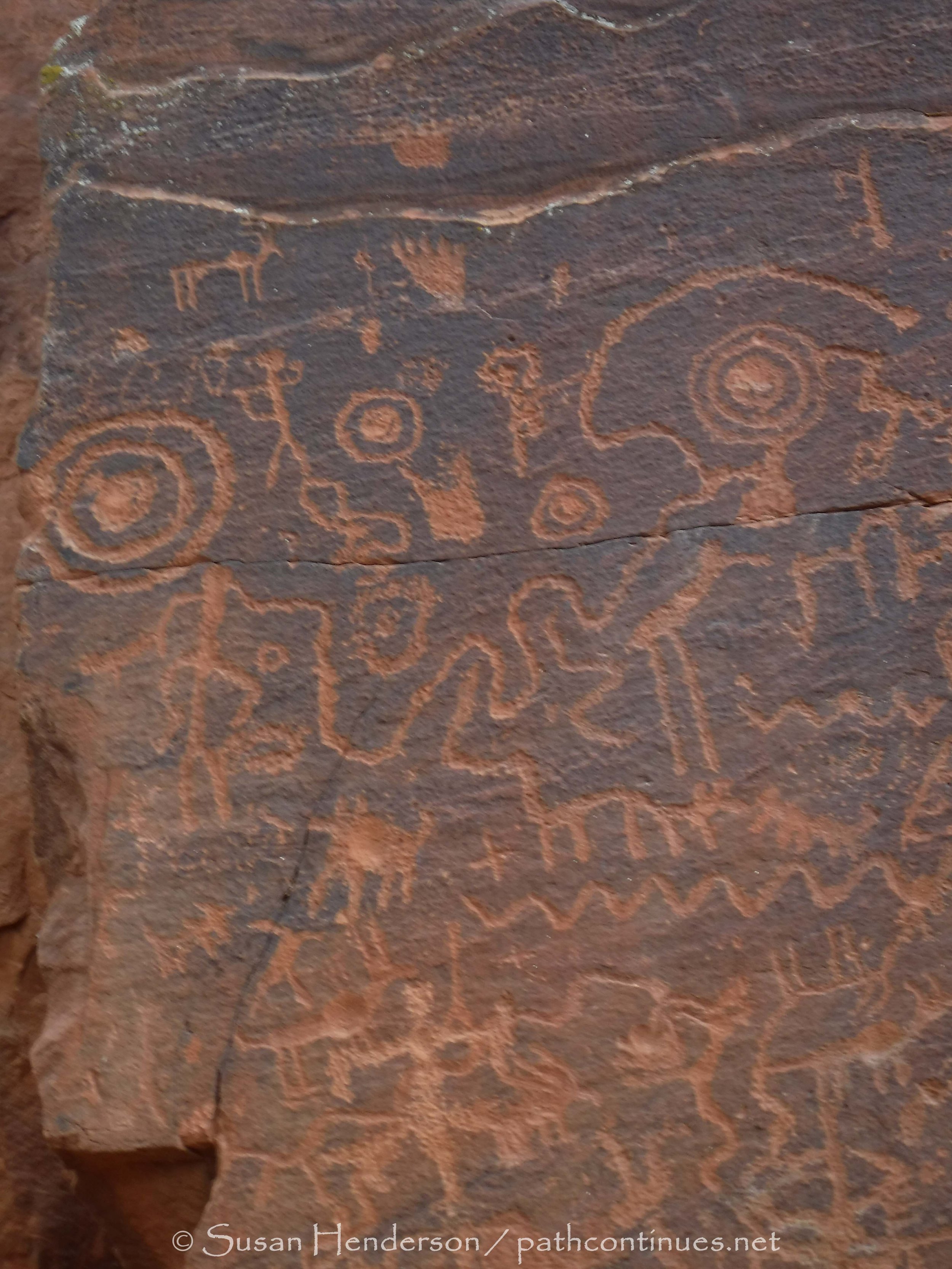
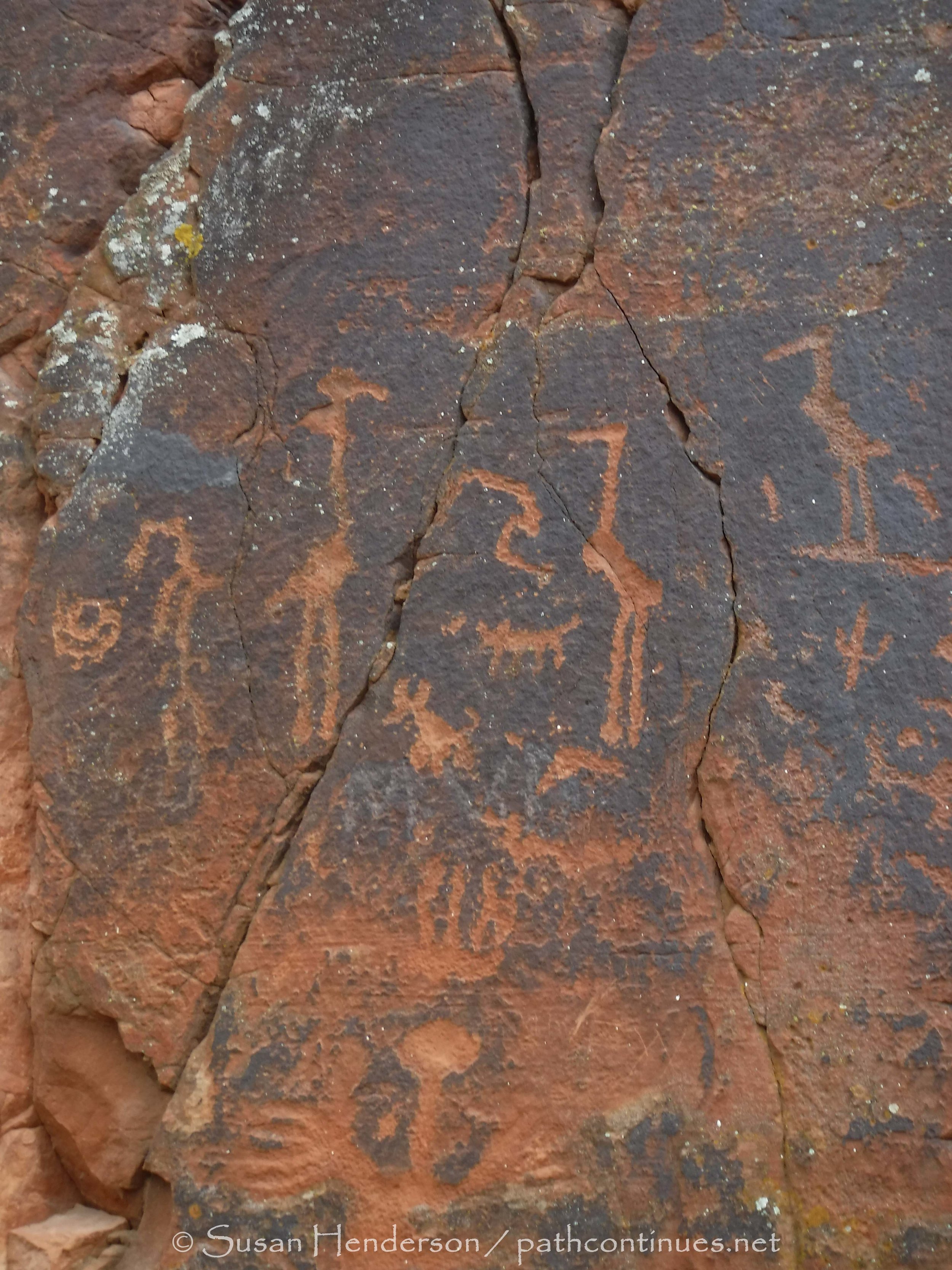
Final tour was at V Bar V Heritage Site, the largest known petroglyph site in the Verde Valley of central Arizona, and one of the best-preserved. The rock art site consists of 1,032 petroglyphs in 13 panels. We were fortunate that when we arrived up to the panels we had an informative guide pretty much to ourselves. It was fun to watch the boys try and find the different pictures that he was describing. I found it fascinating to see how the seasons were integrated into the panels. With a portfolio of pictures that the guide had taken over the course of a year, he showed us how the sun would shine on the petroglyphs at the solstices and equinoxes of the year. 

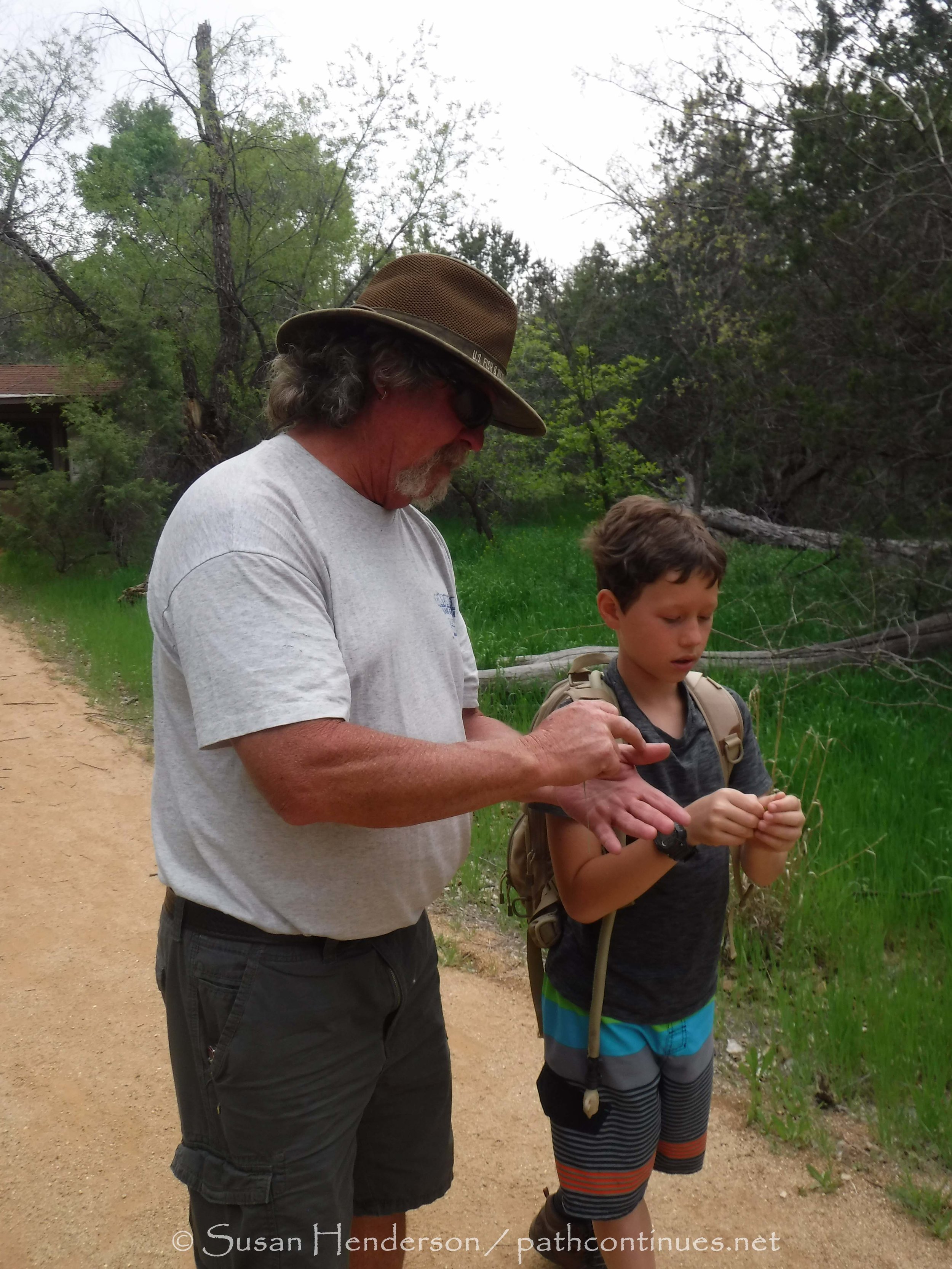
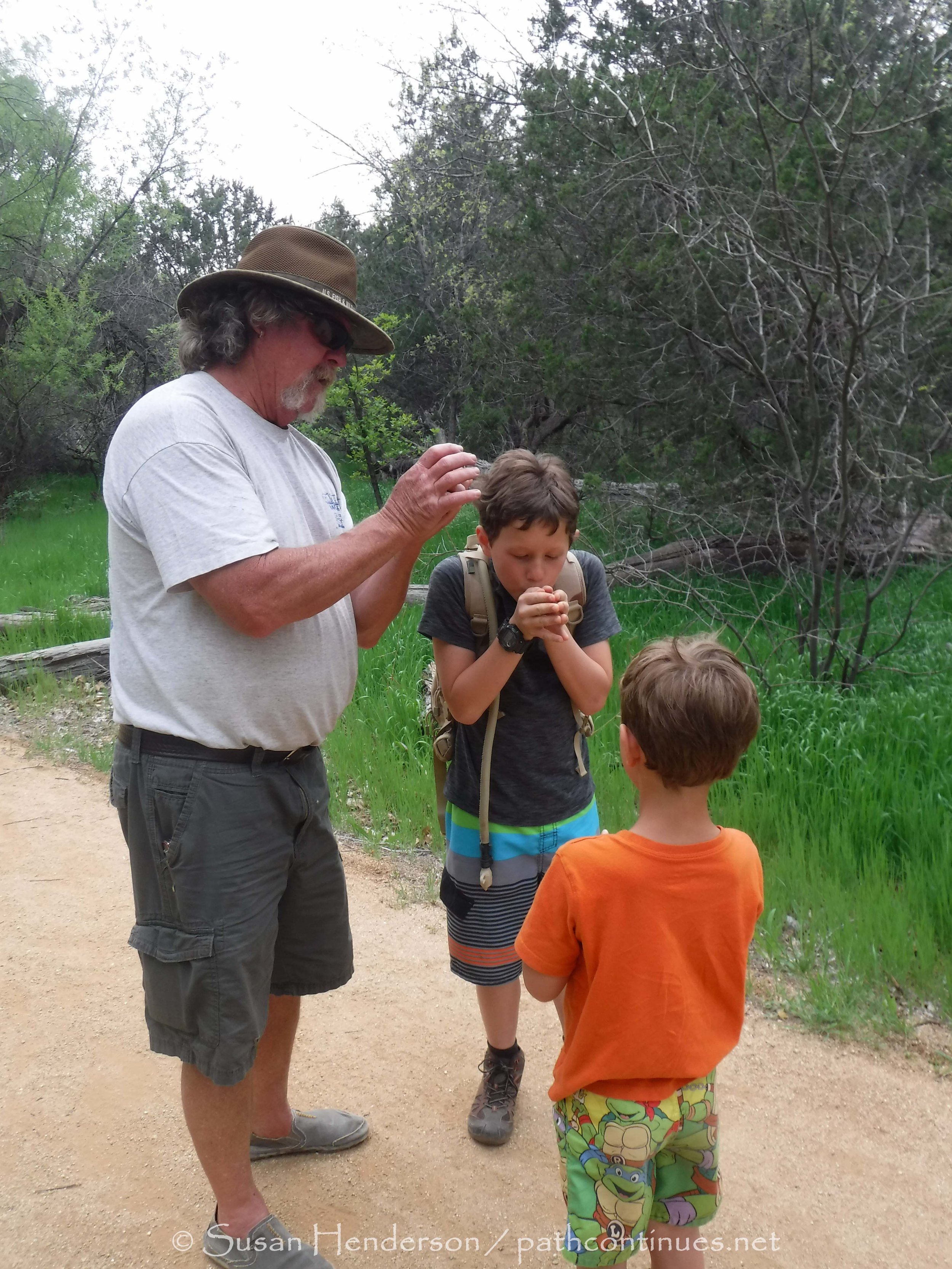
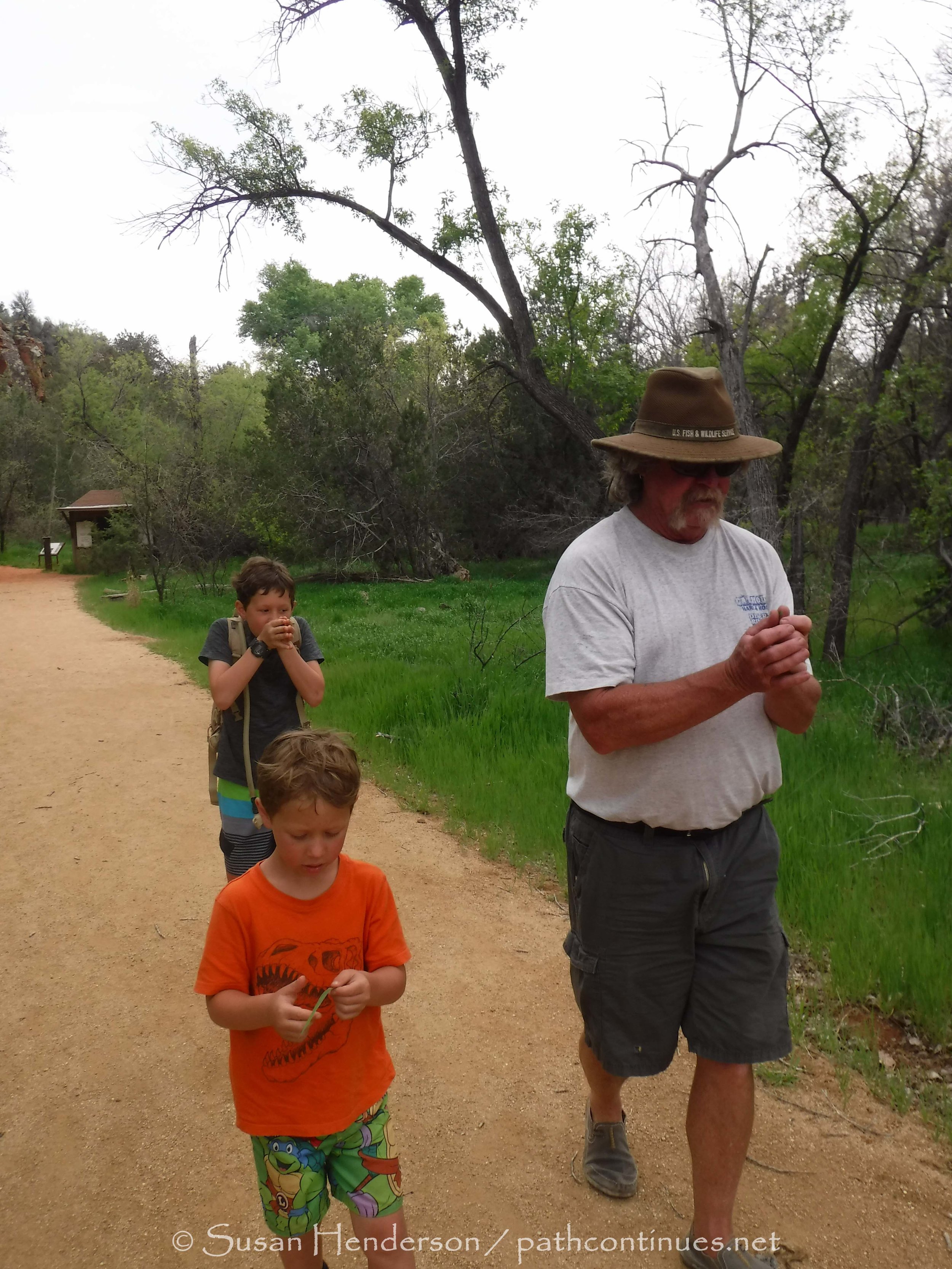
The boys favorite time of the day, and possibly the whole trip. Pa taught them how to make a whistle with a blade a grass. It was another great day. 
 

Hidden Cave

Our friend Will, who we met here in Cottonwood last year, has lived in this area for 15 years or so. Over those years, he has probable logged a thousand miles or more of hiking in the area. He is a very spiritual person that has regaled us with stories of the ancient people that lived here and their native customs. Last year he took us to two caves, Shamans and Hidden Cave. We knew that if we ever had the boys here with us that we would love for them to experience the hike to one and also if possible to have Will as their guide. Lucky for us, when we arrived this year Will was still in the area and over the weeks before the boys arrived we had been able to spend many nights around the campfire rekindling our friendships. 

This day we set off with the four of us in the jeep, and our friend Brenda driving with Will out to Hidden Cave. Located off a fire service road about 15 miles north of Cottonwood, I can’t really tell you how to get there other than 4 wheel drive helps. A relativley short but steep hike leads you around the base of a mountain and up the path to the cave. An even steeper, cactus lined, path takes you straight up to the entrance of the cave. Will stood at the entrance and asked for permission from the spirits that we may enter in peace. The boys are young, and while I don’t think they understood what exactly it was he was doing with his hand on his heart and eyes closed, I do feel they knew it was important. 

We entered the cave quietly and the boys walked around in the darkness looking at the ceiling as Pa explained the ceiling was black because of the fires the ancient people had used to live in it. A large cave, at least 30' deep, part of the roof had caved in and gave us our seats as we had our snack and listened as Will told us the  Legend of the Boy who turns into a Eagle. A Hopi Indian boy is banished from his village after he defies tribal law and frees a sacred, sacrificial eagle. After surviving in the wilderness he returns to his village where he is again rejected. Fleeing, the boy climbs a cliff and jumps off but before he reaches the ground turns into an eagle. Our boys listened silently and gazed out of the mouth of the cave to the mesa on the other side of the wash. 

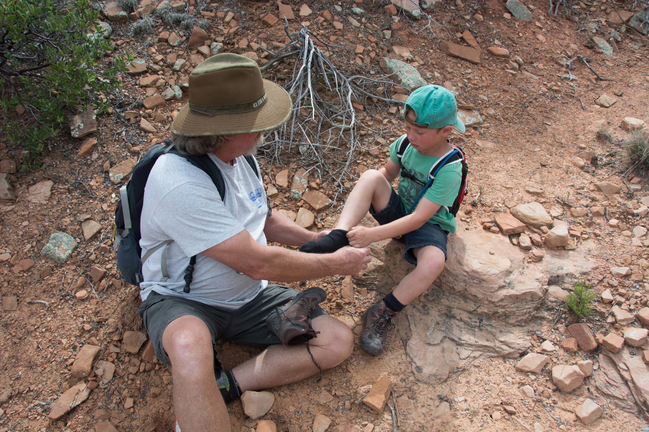
As we left the cave Pa asked if they wanted to hike over to the mesa, so we left Will and Brenda to relax in the cave and headed across the brush. The first "brush with cactus" of the whole trip was had by Carson, but he was a trooper as Pa took out the thorn. 

A great day hike, ending with a rock skip contest when we found an animal watering hole.
 

Broken Arrow Part 1 and 2

This first-time Bob and I hiked up to Broken Arrow trail we had started at the trailhead (TH) to Little Horse, then connected to the Arrow right after crossing over Chicken Point. It was a beautiful hike, light breeze and big puffy white clouds filled the sky. When we were about a mile into Broken Arrow we started hearing, and then seeing, all the Pink Jeeps coming up over the hills. Seems this route is a favorite for the tourist rides. I watched in amazement as they careened close to the sides and then over the large boulders, but Bob says “that’s really nothing”. Not sure how he is going to get me up some of the trails he has planned in our jeep.

The hike back to the TH was a nice easy downhill most of the way, and the entire loop was about 6 miles. We knew we wanted to bring the boys back here as one of the many trails we had planned, so Bob started doing some research to see if there was a shorter route. 

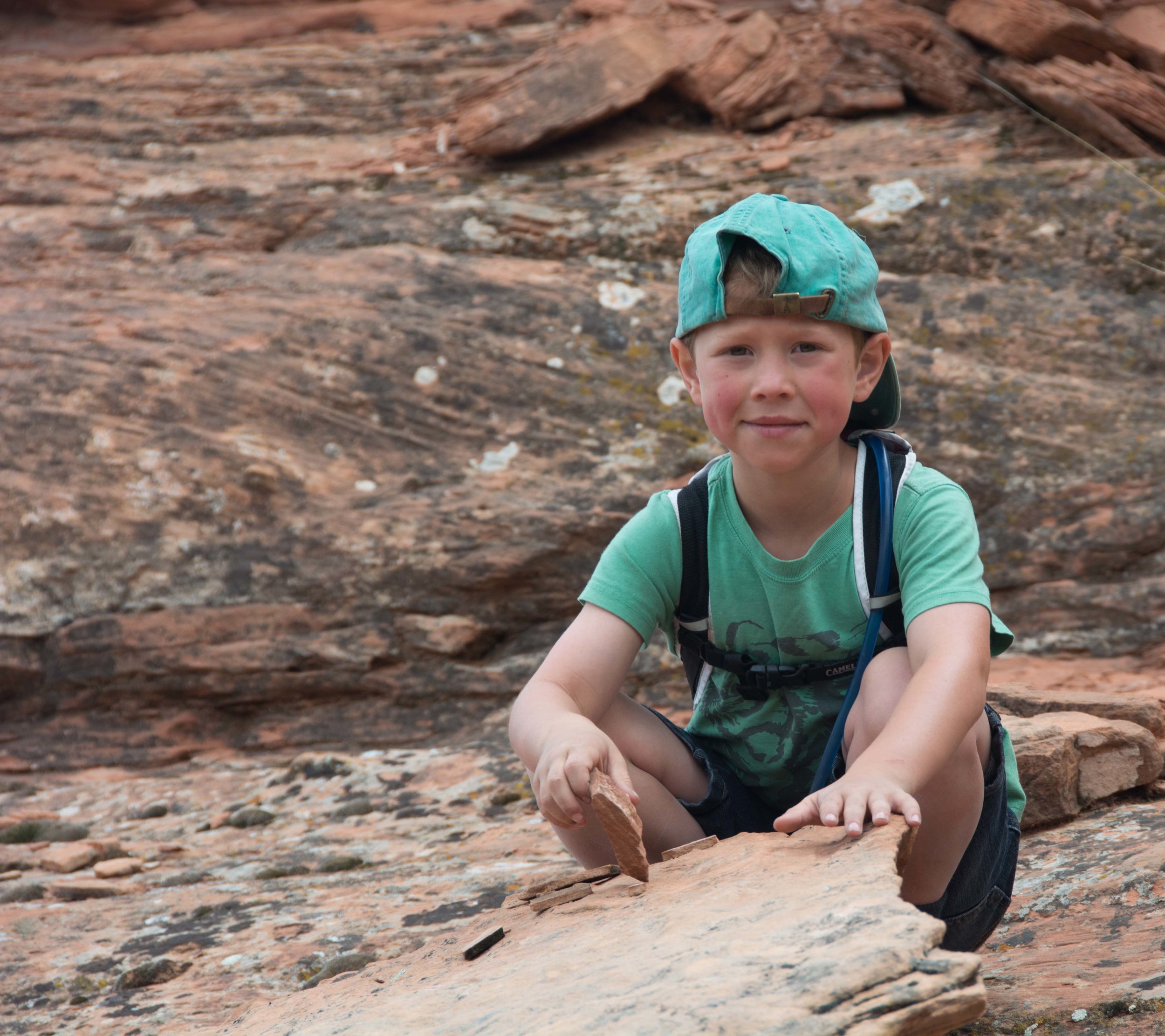
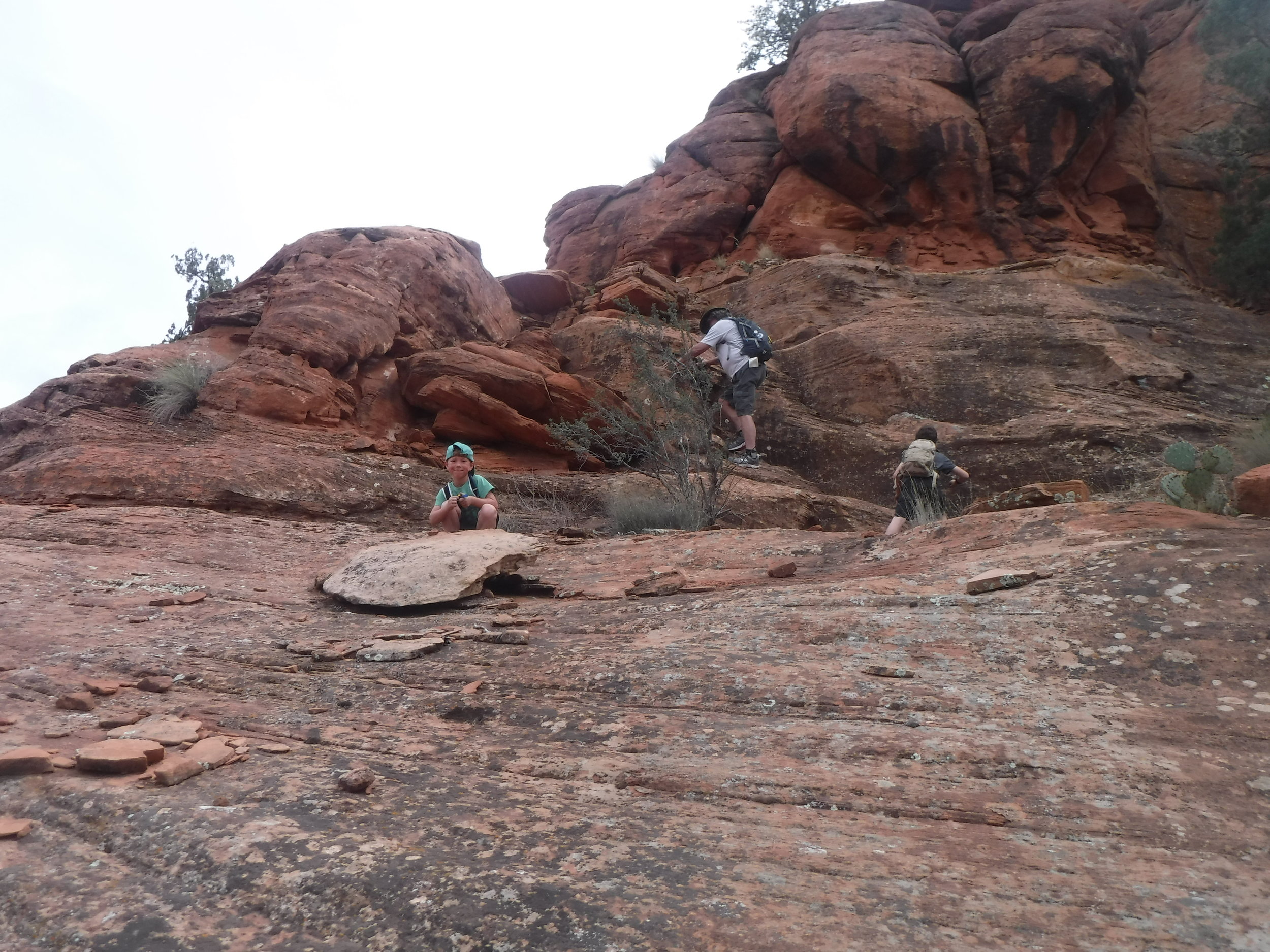
A week later: Bob had found another route up to Broken Arrow that cut off about 2 miles of the hike. We parked at the Chapel TH, this time with the boys along for the hike. This would be our first longer hike with them this year. The Chapel truly is a church built into the side of the Red Rock and is a tourist mecca all on its own. We strapped on our Camelbacks and set out across the red rocked rim towards the rock formation known as Two Nuns. The boys are great hikers, and after a few minutes I was left in the dust, literally, red dust, as they and Bob took off up the steep hill towards Chicken Point.

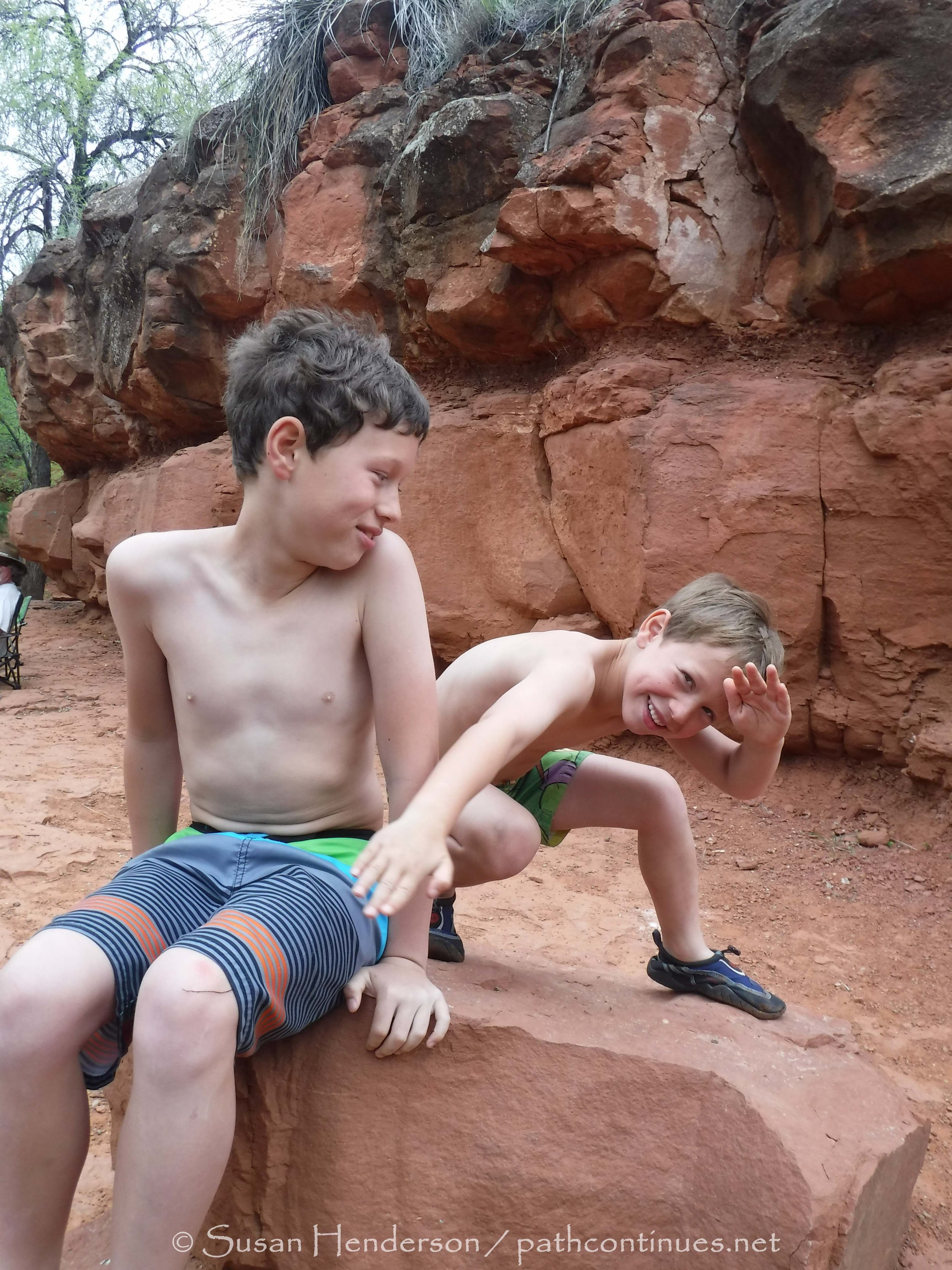
Hiking with young ones is totally different then with just an adult companion. We all hike, or wander, in our own way. Bob likes to have his music up loud and set out for a destination. I prefer to wander at my own pace, lost in my thoughts and being brought back to reality by a bird overhead singing or a photo that needs to be taken. The boys however are boys! Lizards need to be chased, cacti need to be avoided, every large rock is just a kick-off point to get to the next one, and everything is new and exciting. 

We made it up to Chicken Point, so named apparently by the Pink Jeep drivers because some would not venture to the edge. The rock formation overlooks the valley below with Big Bell and Baby Bell off to the south, and Two Nuns staring down upon you. The wind had really picked up by this point, and Carson kept a tight grip on Pa’s hand as they, and Cash made it out to the edge for a photo op.  From there it was on to Broken Arrow trail and another couple miles of exploration.

The trail at this point runs along the east side of Two Nuns, so it was wind protected and shady. We tucked in by some trees and settled in for our snack with the perfect view of Pink Jeeps. It was also the week before the big Jeep rally in Moab so there were lots of others to watch as they climbed up and over the huge boulders. 

The hike out always seems so much shorter, and the wind was picking up as we made it back to the Jeep. A stop at BRobbins on the way home concluded a great day and the first of many hikes to come. 
 

TwoNuns