This one ranks right up there as one of our favorite, and hardest hikes so far this year. Located inside Bear's Ears National Monument, Natural Bridges was discovered by a prospector, Cass Hite, in 1883. It wasn't until 1904 though that the discovery was publicized in National Geographic, and in 1908 President Teddy Roosevelt proclaimed it to be a National Monument, creating Utah's first National Park System area. THANK YOU Teddy Roosevelt!!! The bridges have had a few names over the years but in 1909 they were given Hopi names to better reflect the area's history and culture.
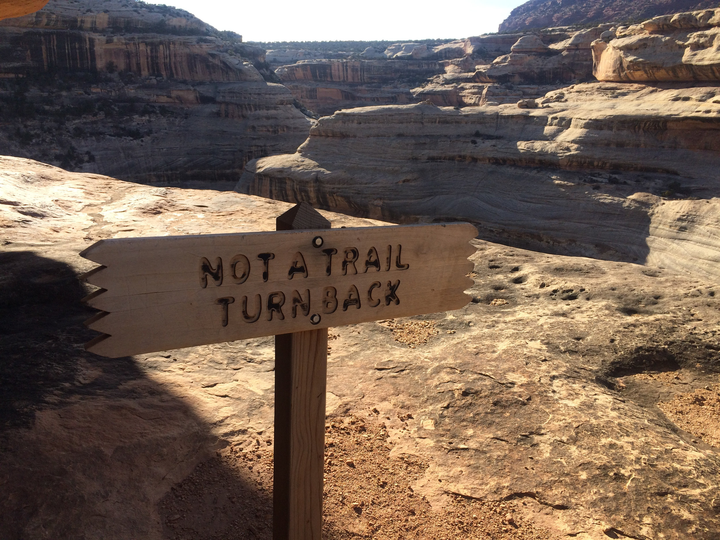
About a 45 minute drive from where we are boondocked north of Blanding, we stopped at the visitor center and picked up a map of the park and asked about the hiking trails. We knew we didn't want to do the "drive-walk to edge-look down into canyon at bridge-get back in car" thing. We wanted to be able to get down under the bridges to truly experience the magnitude of them. The volunteer gave us some great info and off we went.
We drove to the farthest bridge, Owachomo, which means "rock mound," parked and got all our stuff together and set out. We knew it was going to be about a 10+ mile day, and it was warm, so lots of water and snacks came with us.
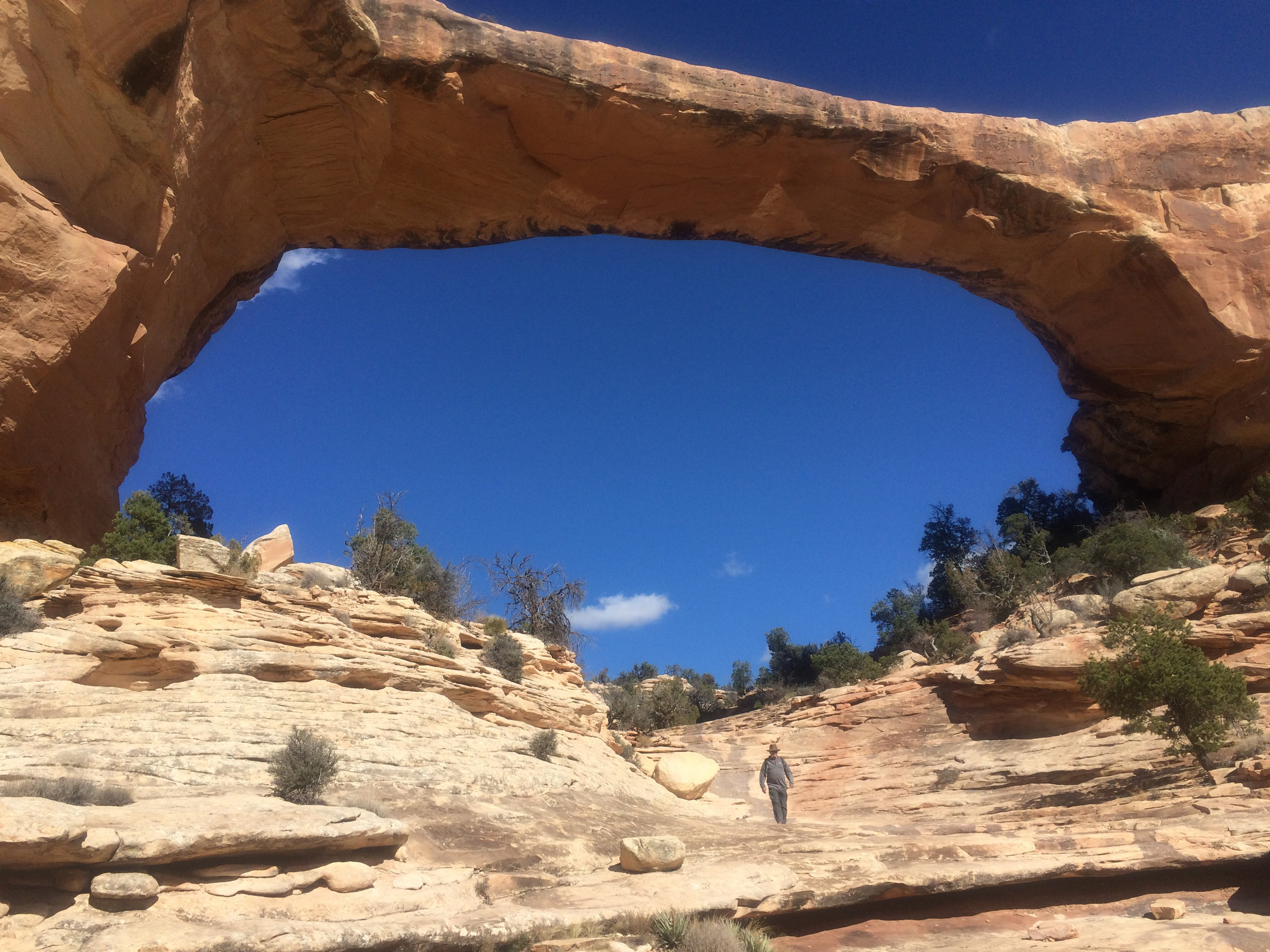
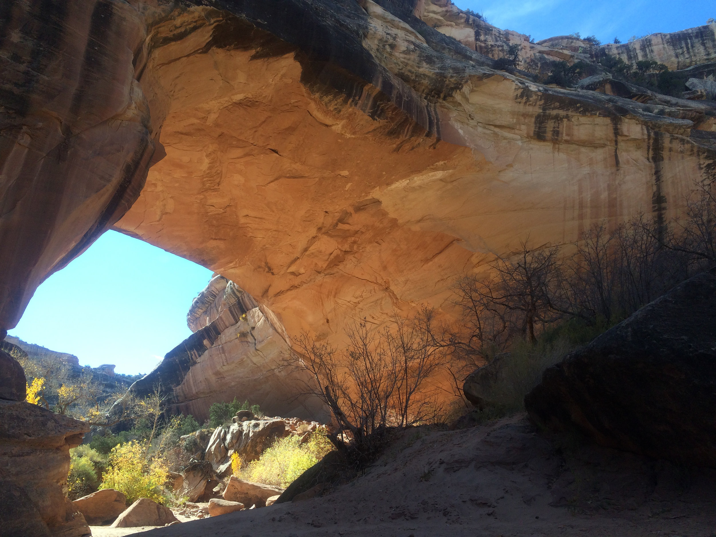
Bridges differ from arches as they are caused by the erosive action of moving water, where arches are caused by other erosional forces - frost action, seeping moisture. A nice gentle sloping 180' down over large slickrock took us to the bottom of the canyon. We were under Owachomo, the first of three bridges we would explore on the hike. Somehow - this is where I should explain that neither one of us were really paying attention when we got the map - we were hiking the canyon in a clockwise direction, when we should have gone out over the top of the mesa a few miles, then dropped down into the canyon at another bridge and walked the 7 or so miles back to the car. Climbing out at Owachomo (180').
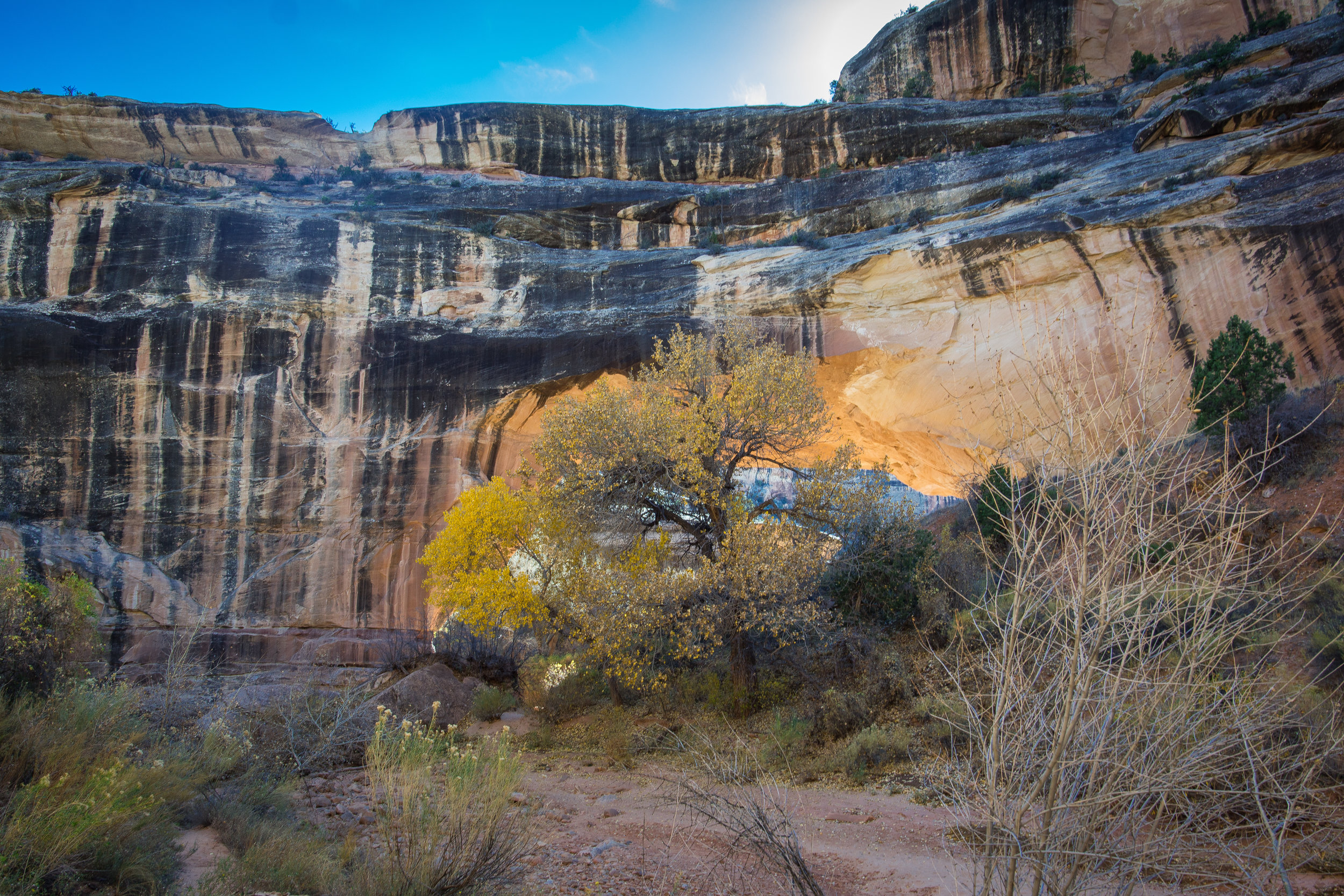
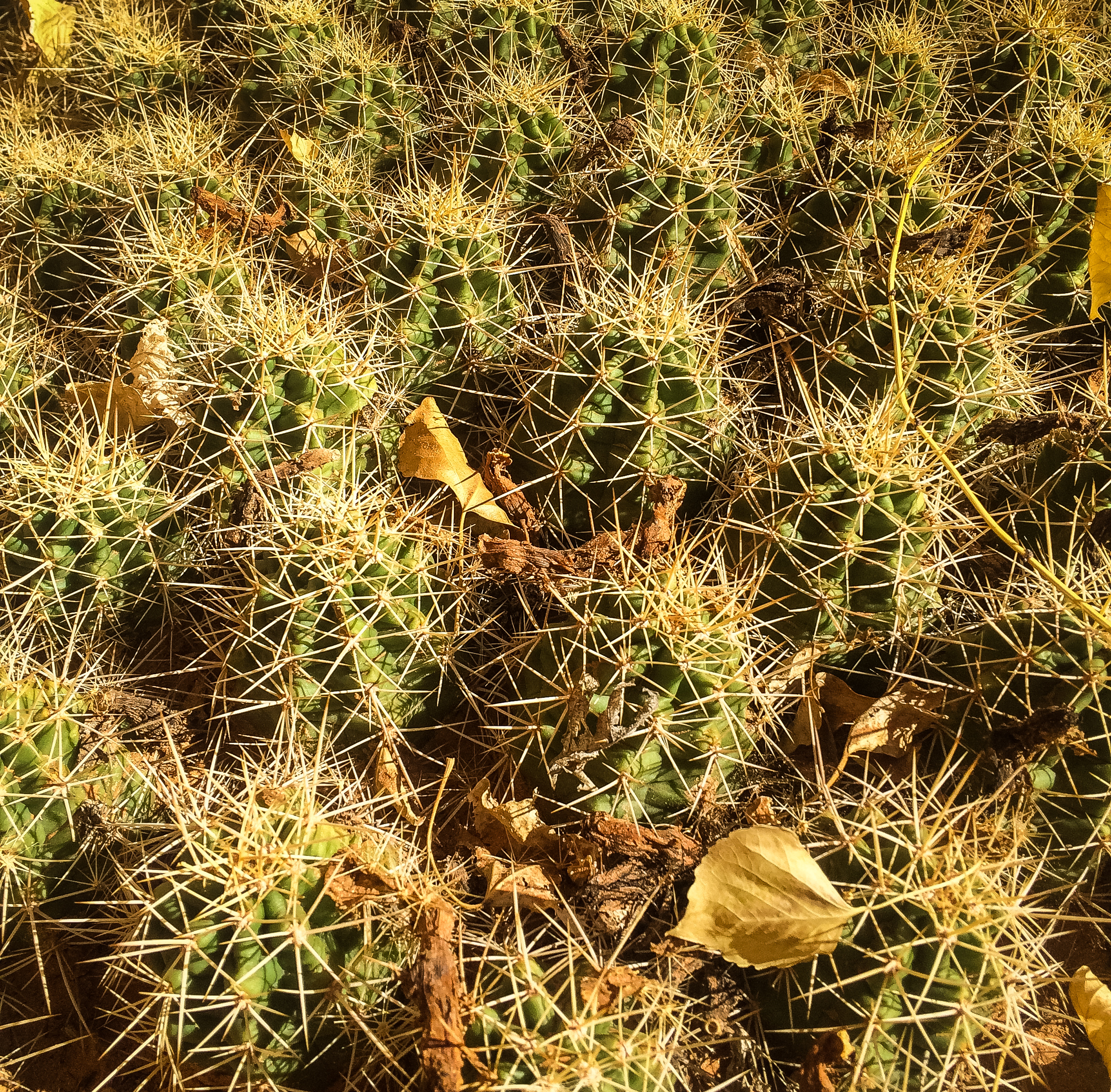
We never saw a soul on the trail until about 4 miles in. After stopping and talking with fellow hikers, we realized what we had done, and that we got to look forward to the 500'+ climb back out of the canyon at the end. Didn't spend too much time thinking about it because the beauty that surrounded us overtook our senses. The canyon was filled with towering cottonwoods just turning vibrant yellow, tall sagebrush, junipers and cacti.
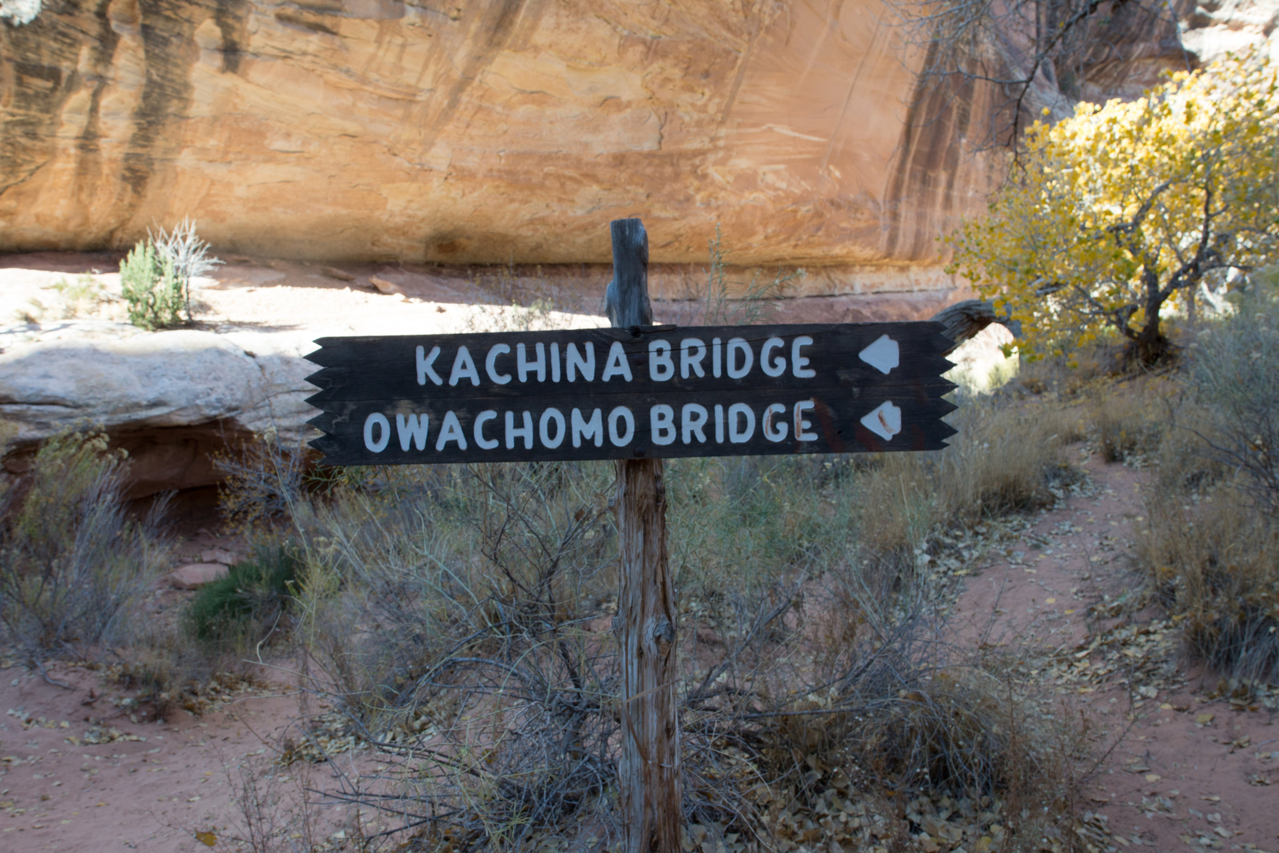
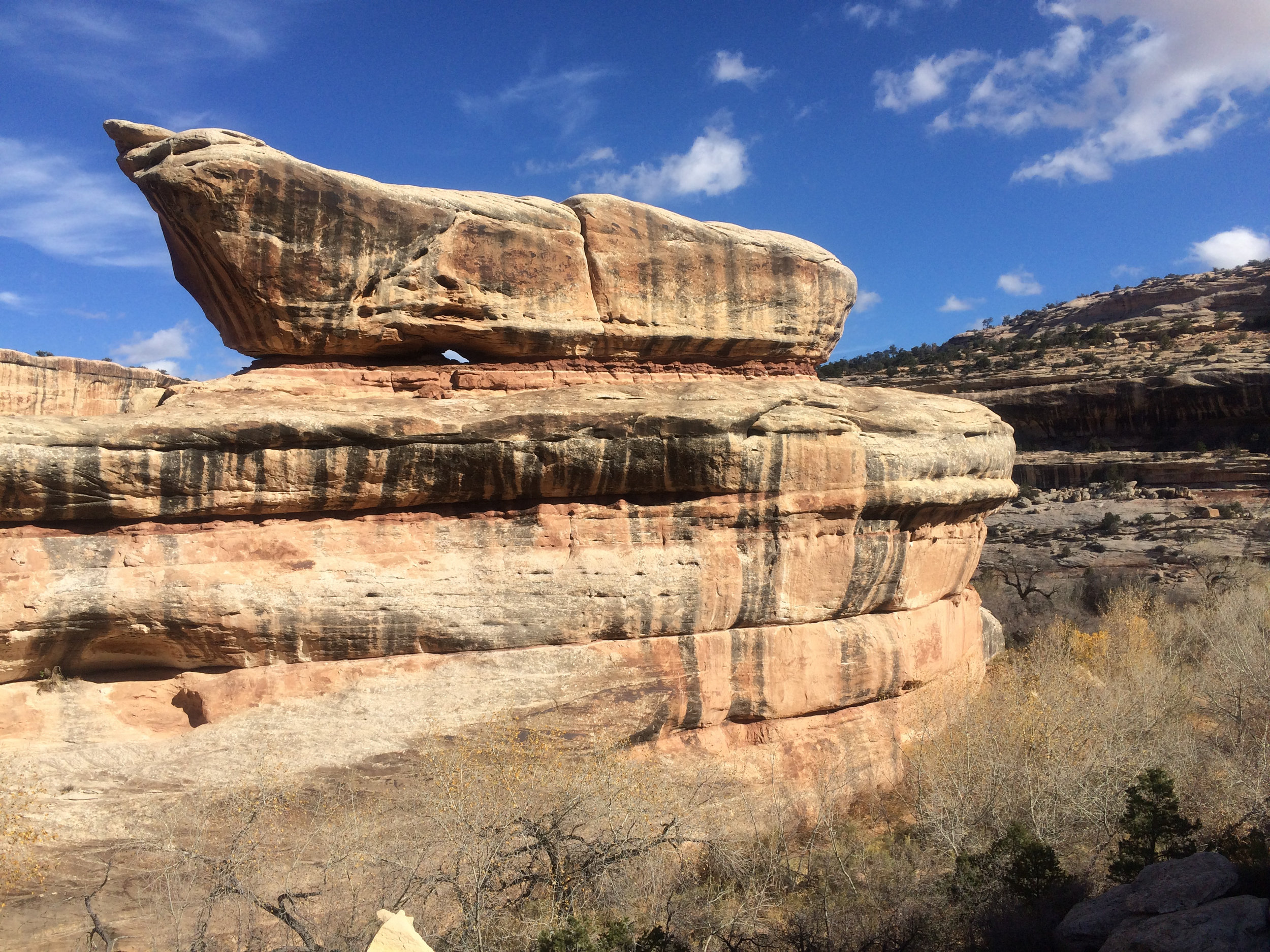
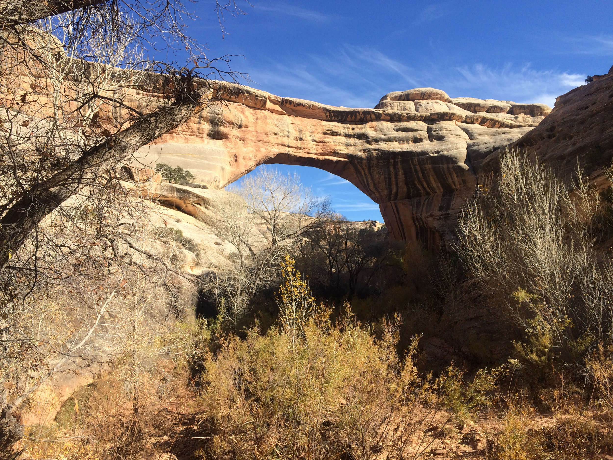
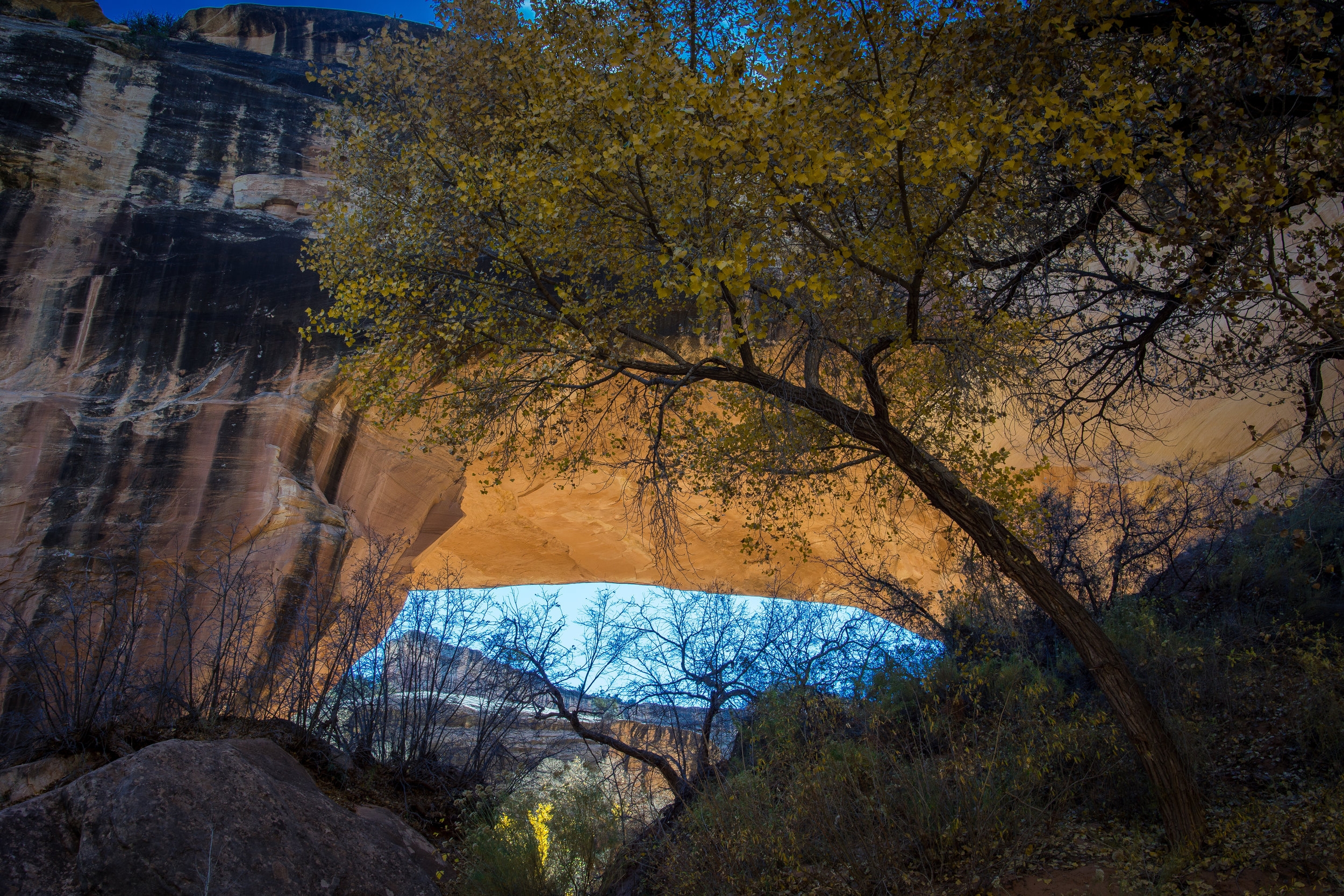
We came upon the second bridge, Kachina, named for rock art that resembles symbols commonly used on kachina dolls, and wandered around the base with our mouths open in awe. It is massive, 210' high/ 204' long and 44 FEET across the center and 93 FEET thick! When you stop and think about the water that flowed under this bridge to create it...well it is mind blowing to me.
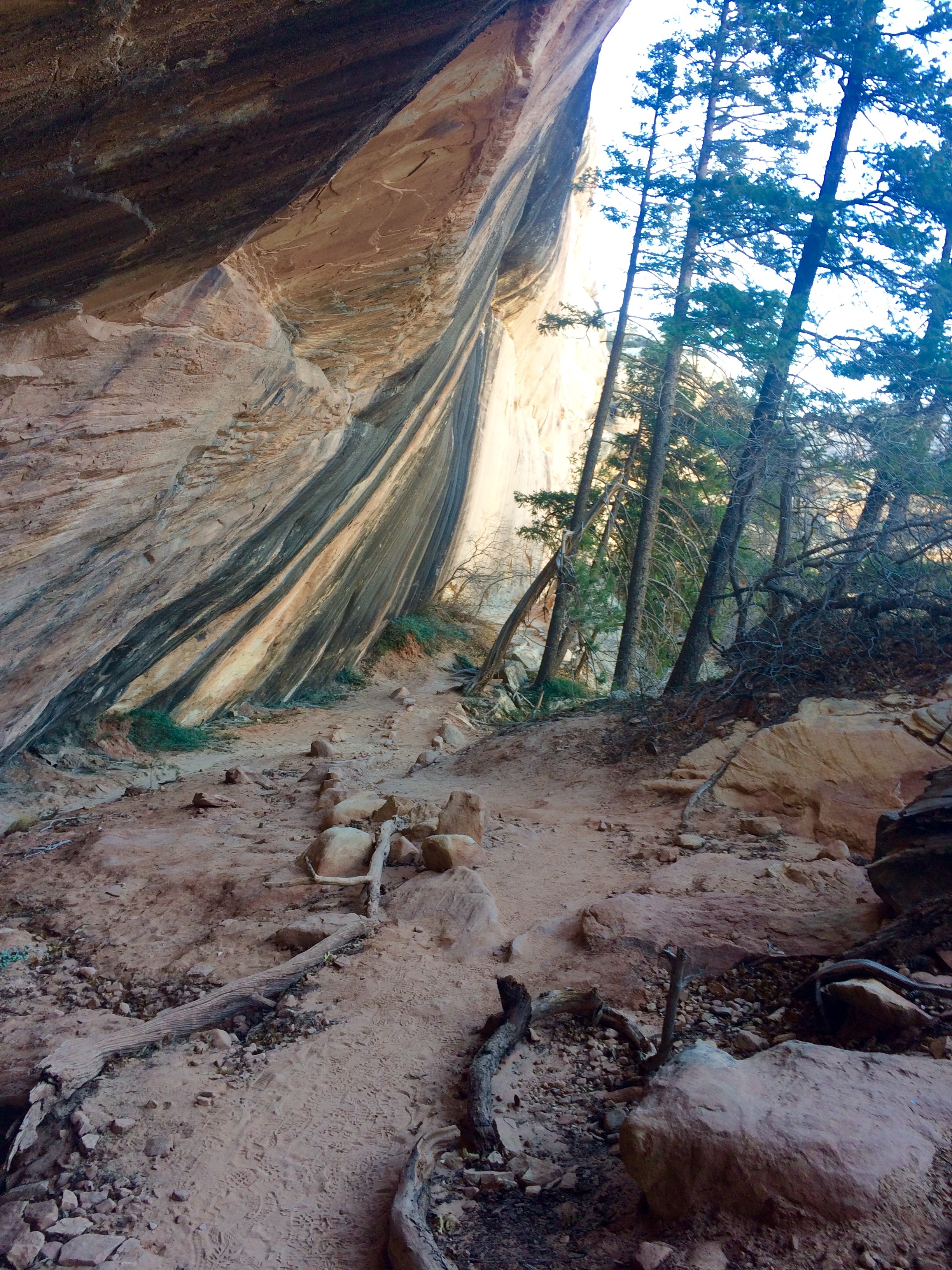
We continued up the canyon crossing the dry stream bed over and over as our shoes filled up with the fine red sand that makes up most of the trail. I kept looking up at the canyon walls that rose above us and thought "yep, at some point we have to climb UP and OUT of here".
We arrived at the last bridge, Sipapu, which means "place of emergence," and I thought how fitting! We were going the right way after all, we were going to EMERGE out of the canyon at just the right spot. Then....I saw the way up.
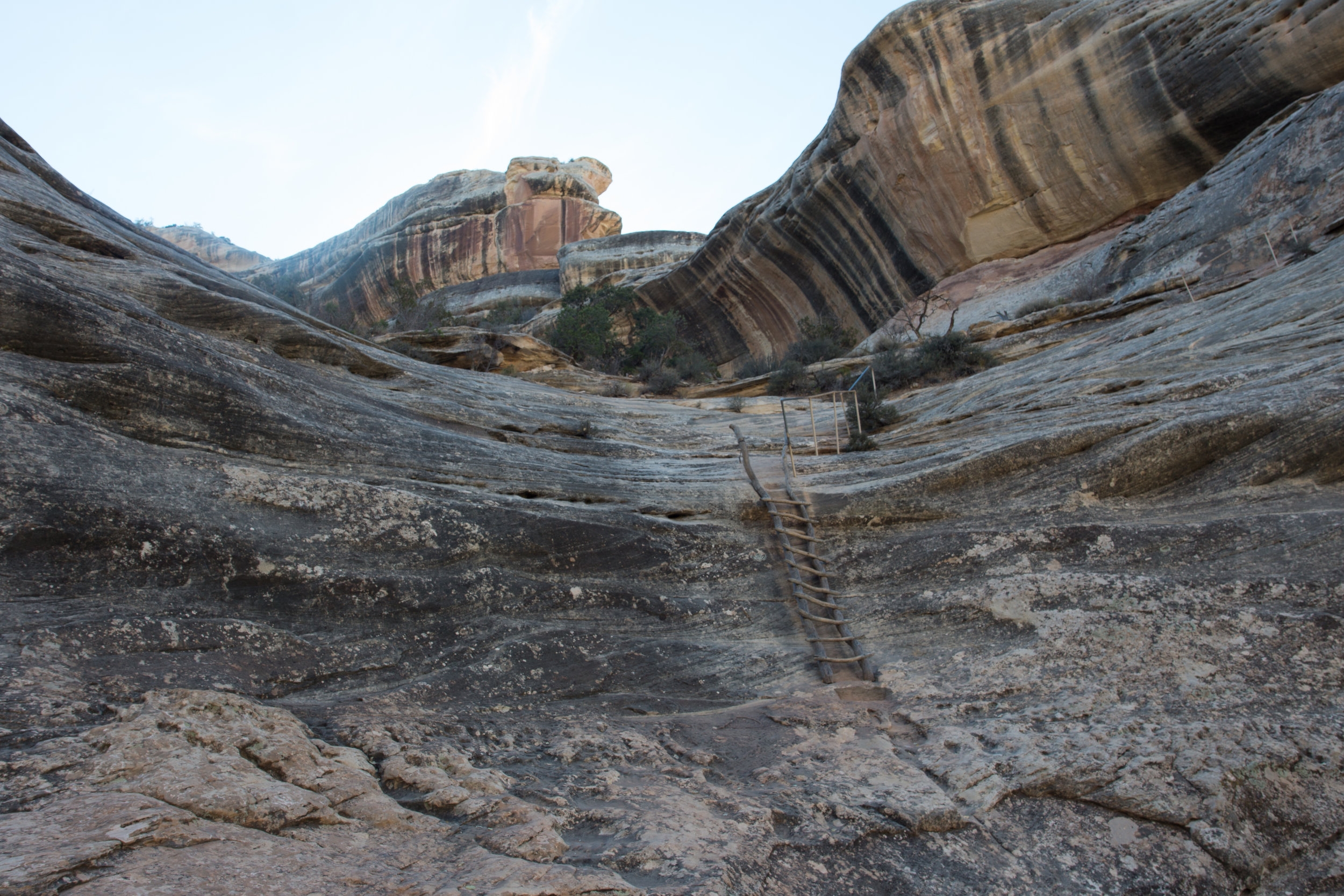
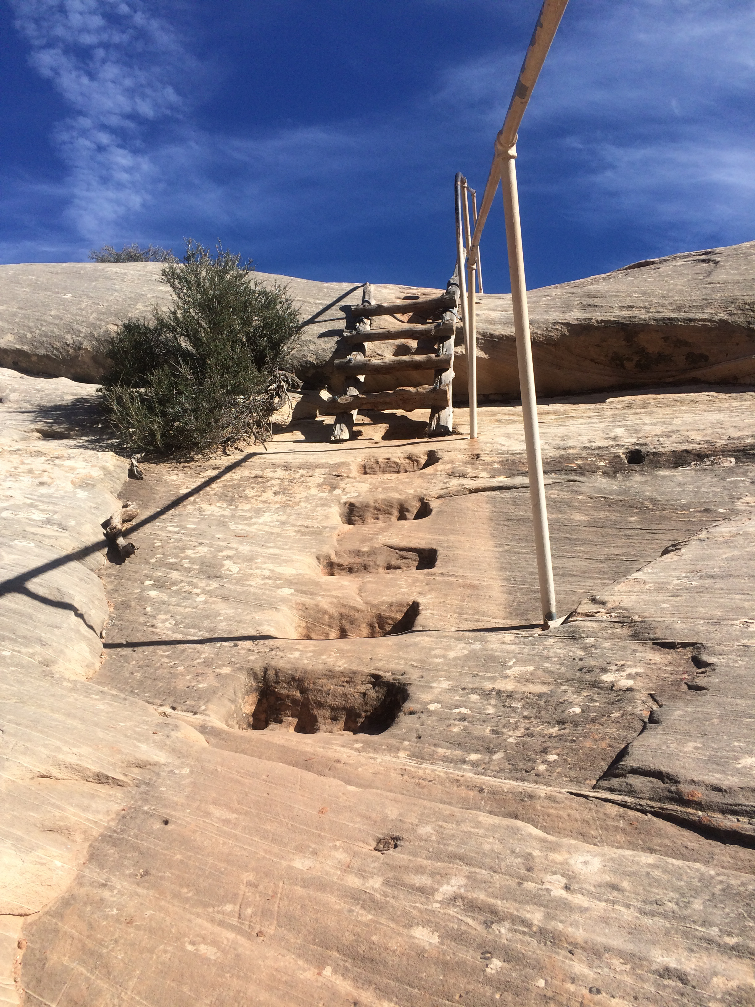
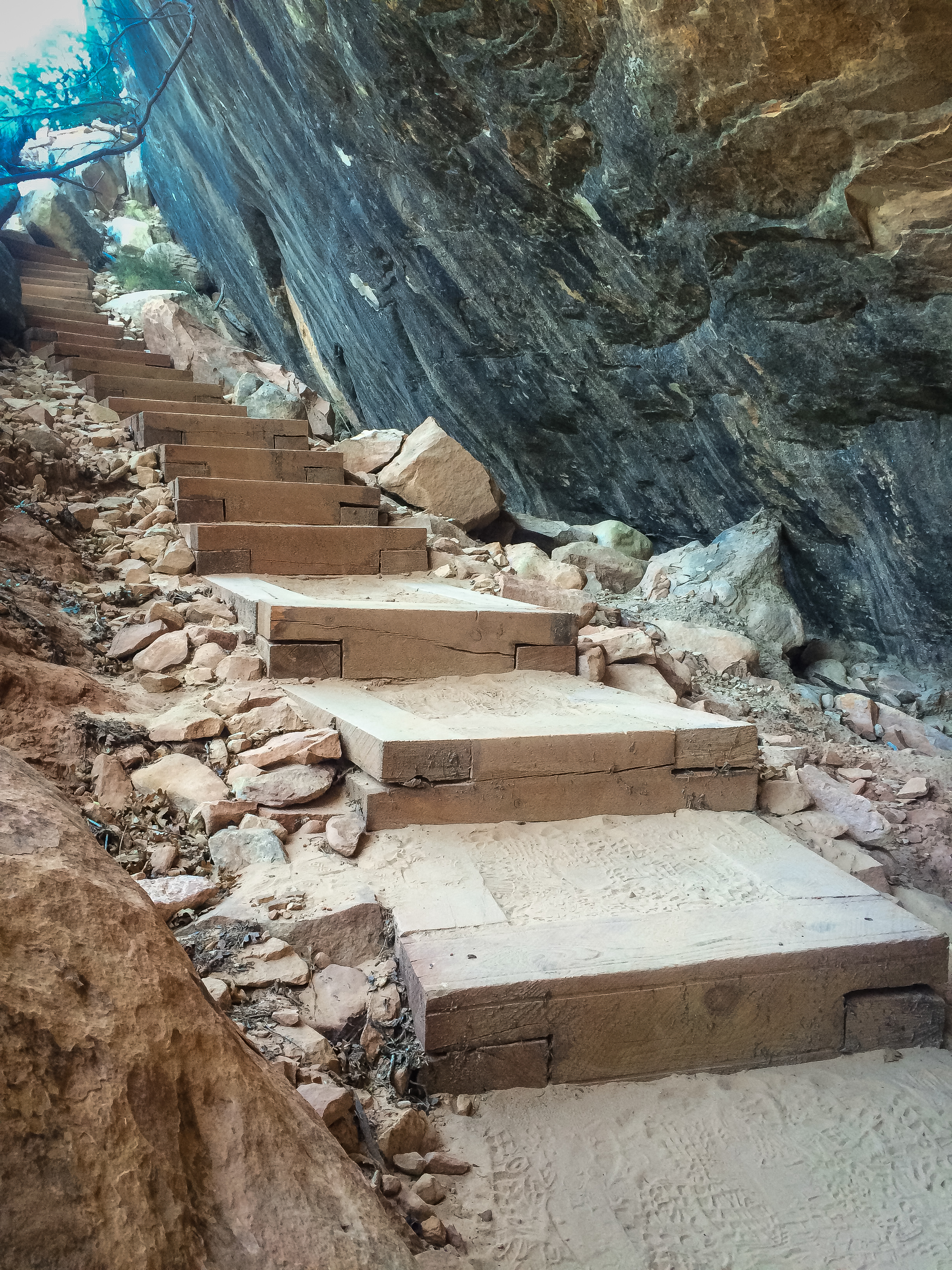
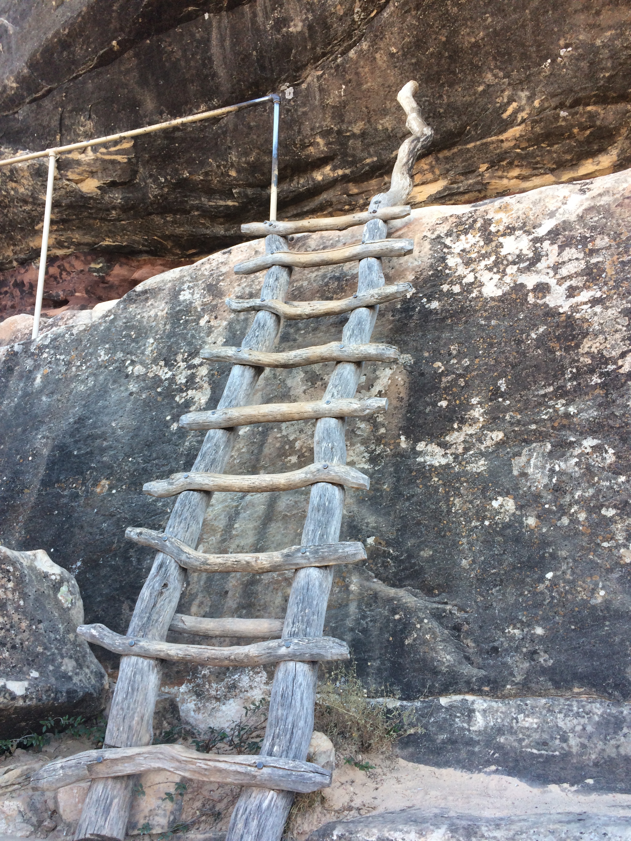
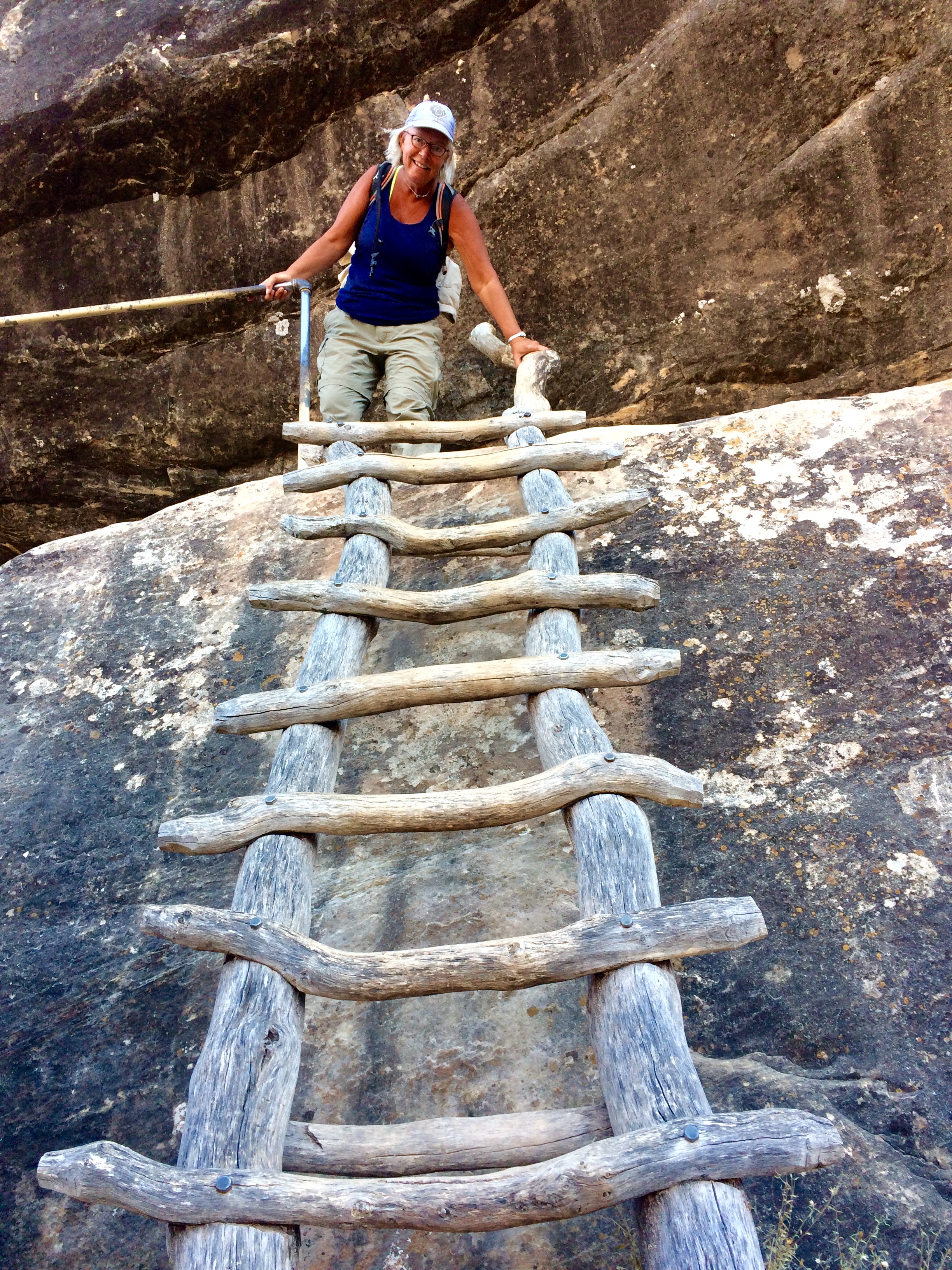
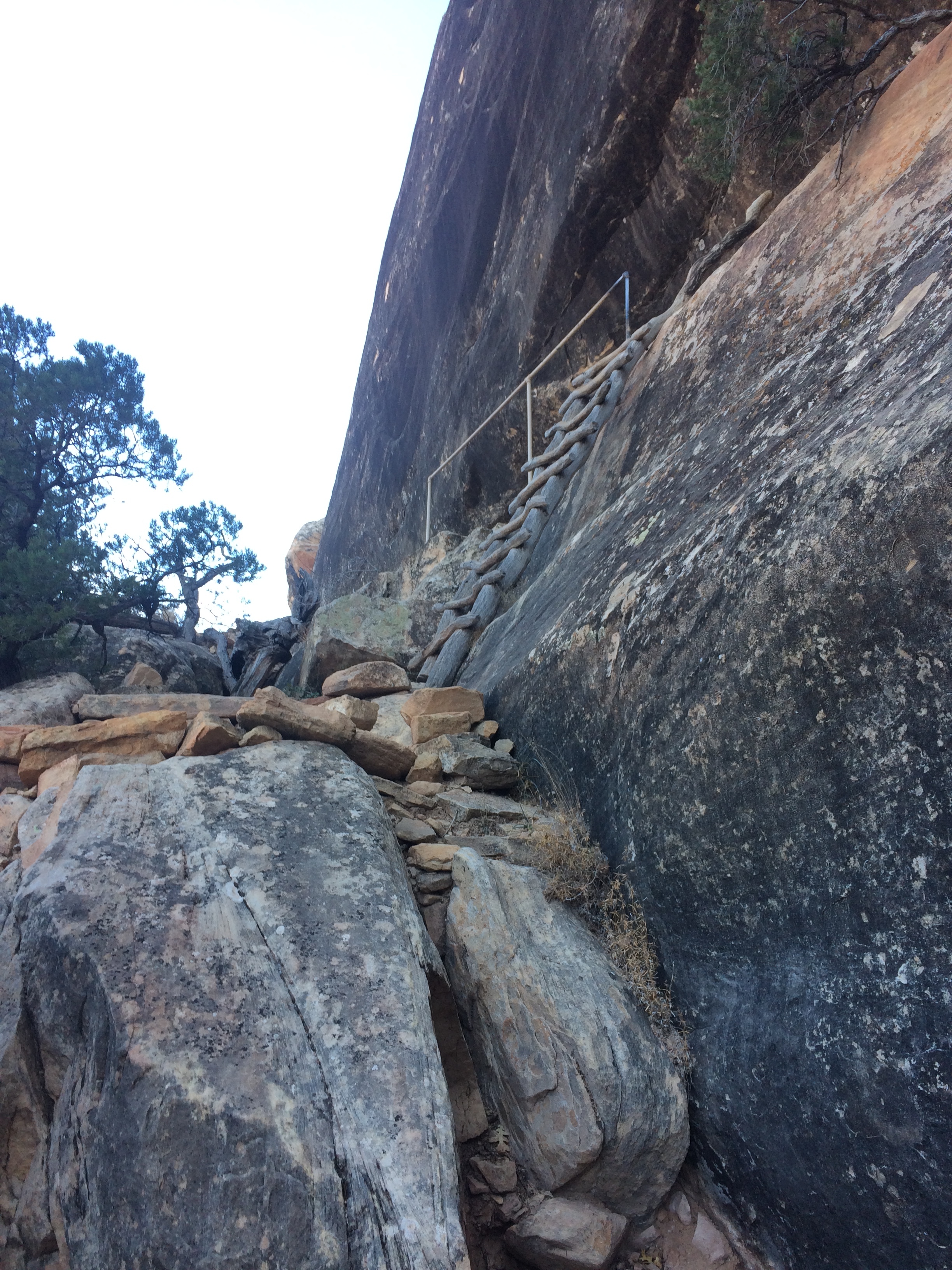
I am not good with heights, but I have gotten better. It takes me awhile to climb straight up, my breathing takes time to catch up to what my legs feel they can do. But up..uP..UP we went. Using the handholds and ladders placed into the rocks, THANK YOU PARK SERVICE, we scrambled and made our way up the 500' face of the canyon. Feeling a profound sense of accomplishment when we got near the top, we sat and gazed out over the canyon, feeling thankful that we had taken the direction we had. Bob and I both agreed that going DOWN the 500' would have been extra hard on his knees, and on me - because I would have had to actually see how high up we really were and what the drop off was going to be.
When we got to the top we set off across the mesa back to our jeep. The three miles or so was very different than the canyon. This area was filled with slickrock and tall juniper. Back at the jeep we collapsed in our chairs, got out our adult beverages and settled in for the sunset. Beautiful day, beautiful hike. Once again so thankful that those that came before us had the foresight to preserve these natural beauties for us to enjoy a hundred years or so later.