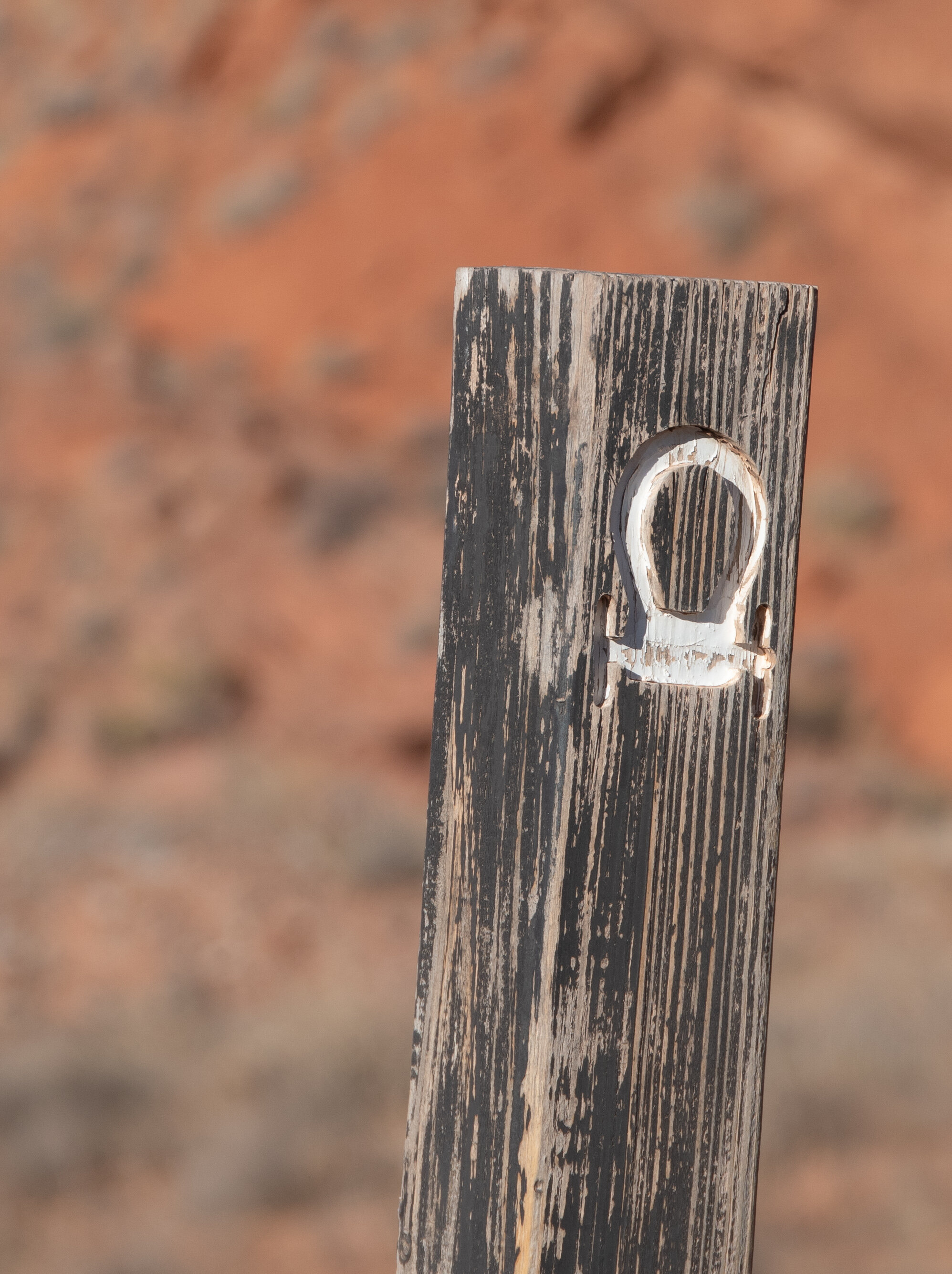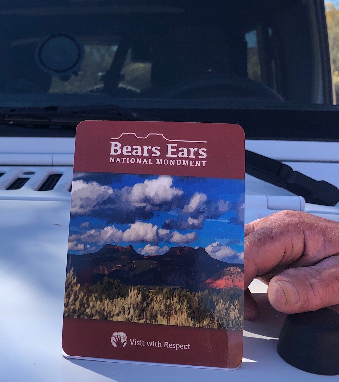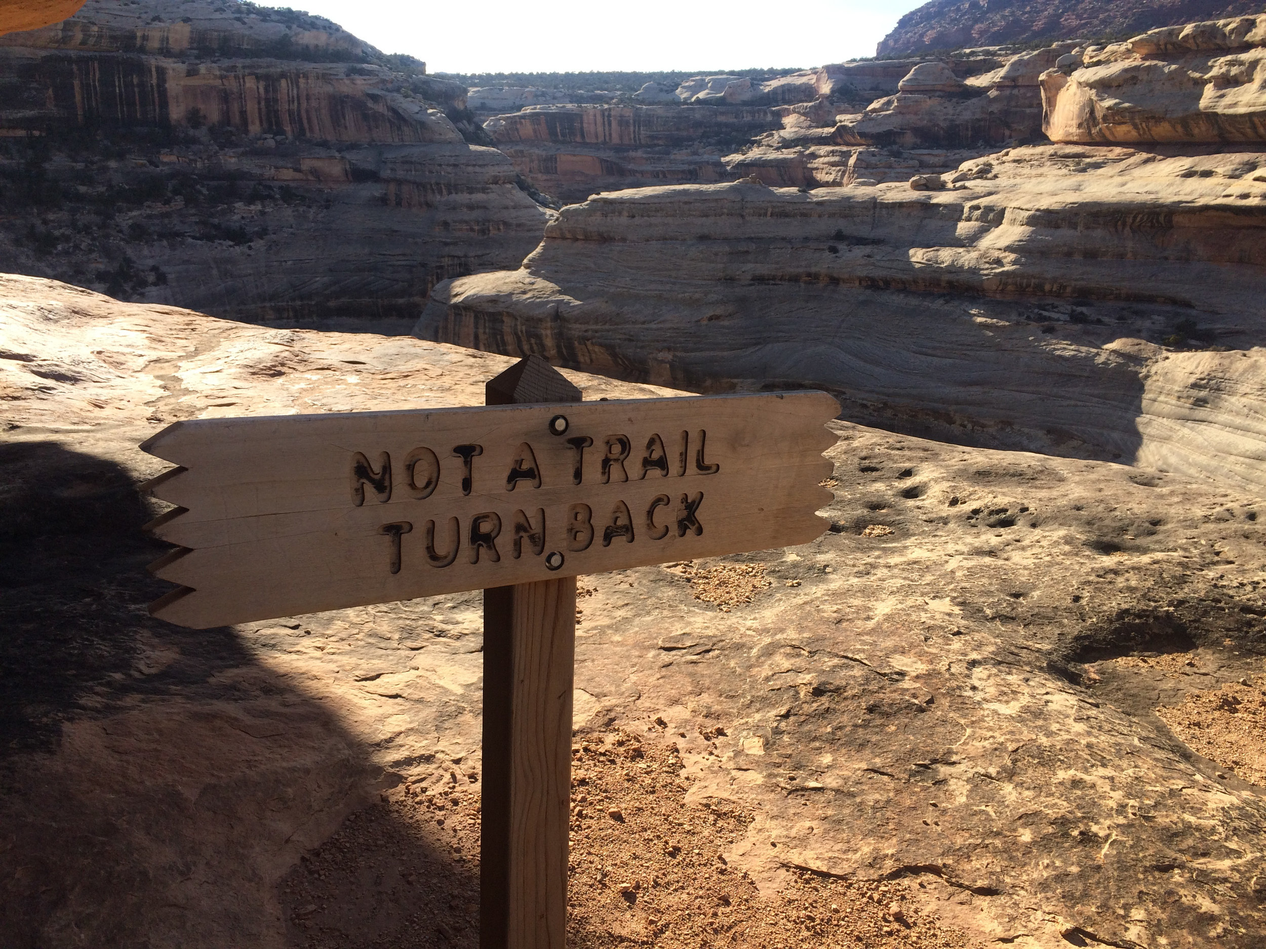
"Visit with Respect", those words were some of the first we read when we entered the Bears Ears Education Center to pick up some new maps on our way out to the National Monument. This NM encompasses a massive area and is the first national monument ever created at the request of a coalition of Native American tribes. It is also one of the most extensive archaeological areas on Earth. I won’t get into the politics of what our current administration is trying to do in/to the monument, you can do your own reading on the subject - but suffice to say that Bob and I have strong feelings about this spiritual place of the earth.
We traveled the back roads over the next week, the deep red sand filling our jeep and our shoes as we made our way across the sandstone slick-rock washes in search of petroglyphs, pictographs, and ancient structures. None were more impressive than another - so special in their own right were each.

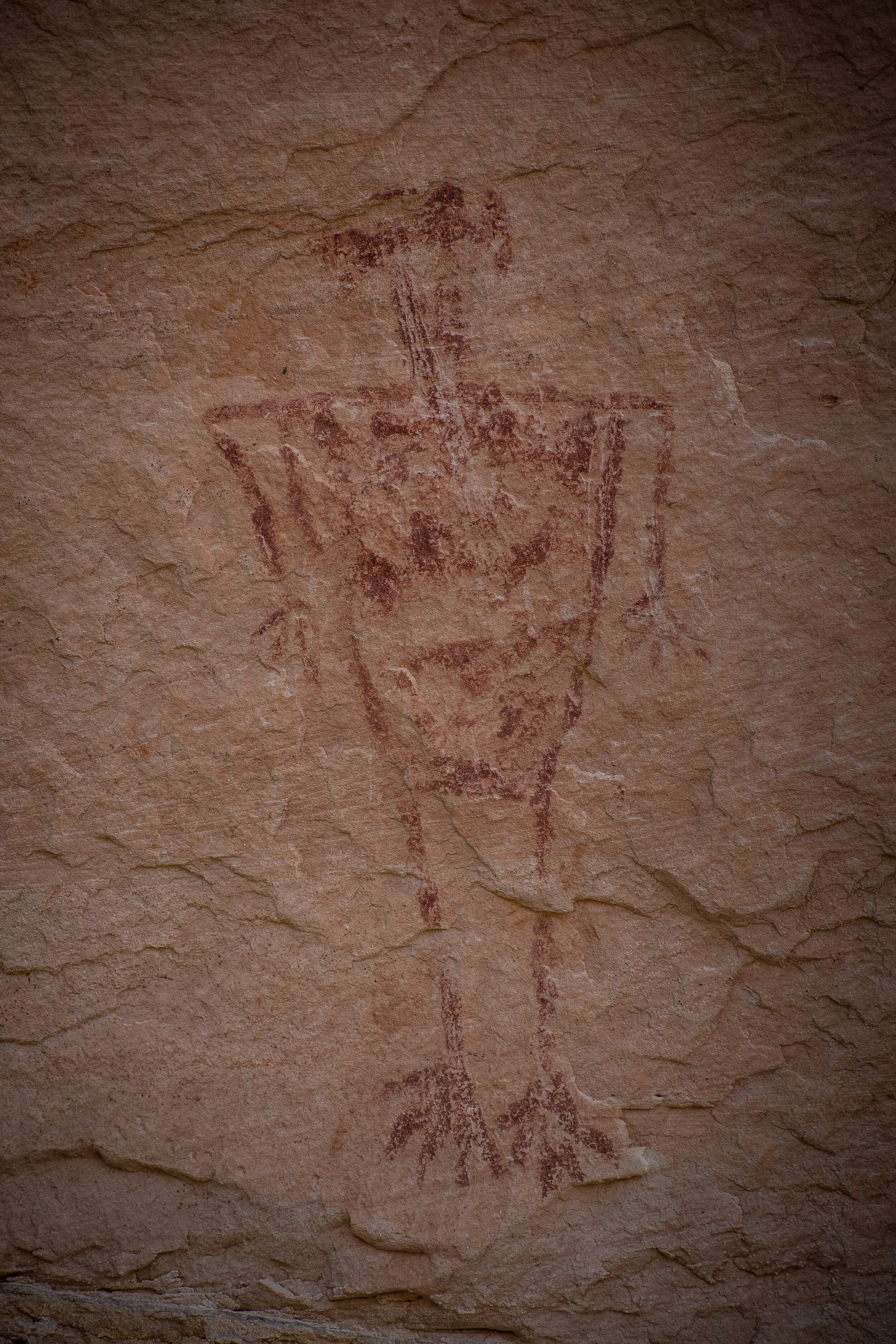
Big Kachina Panel
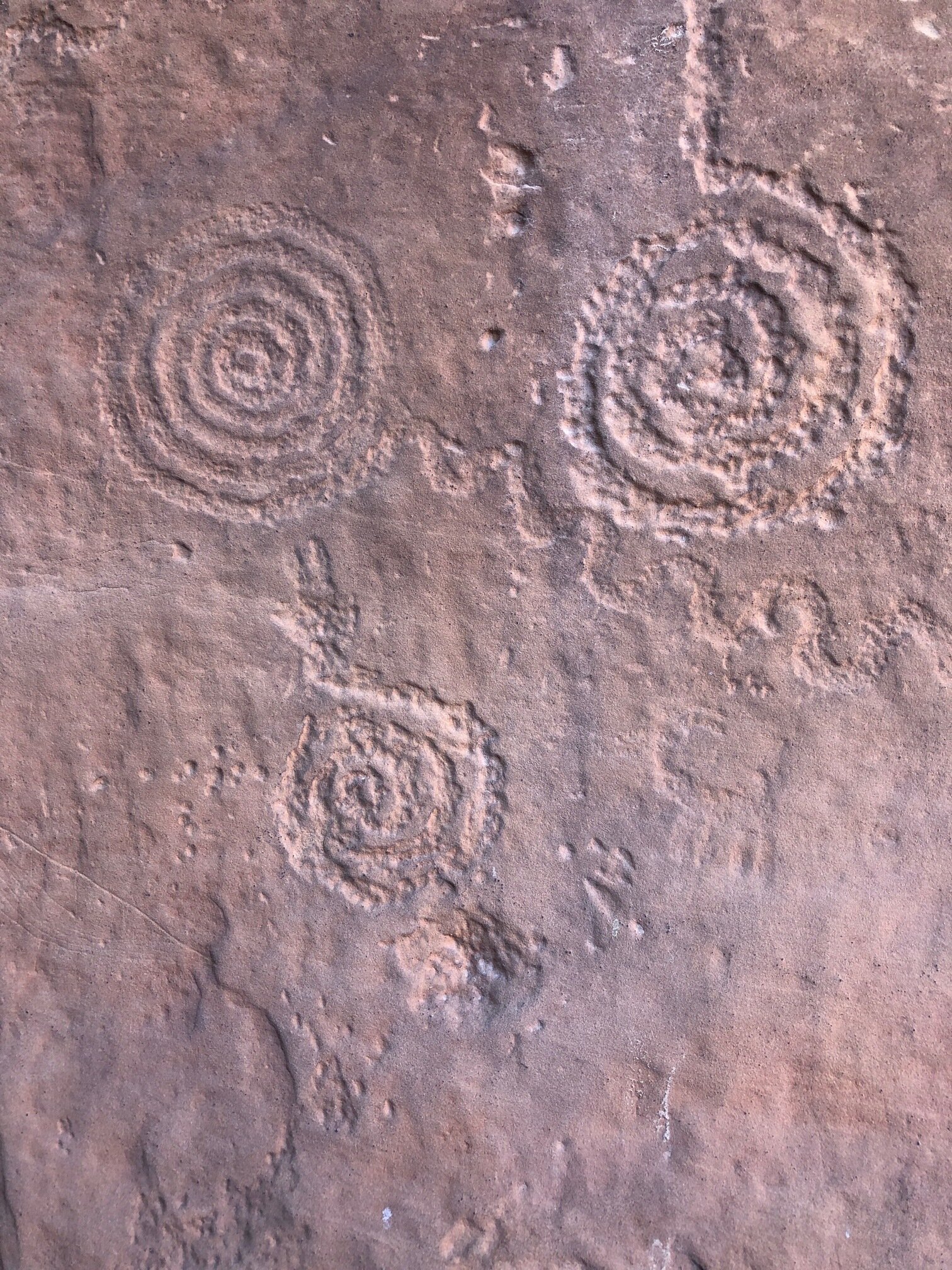
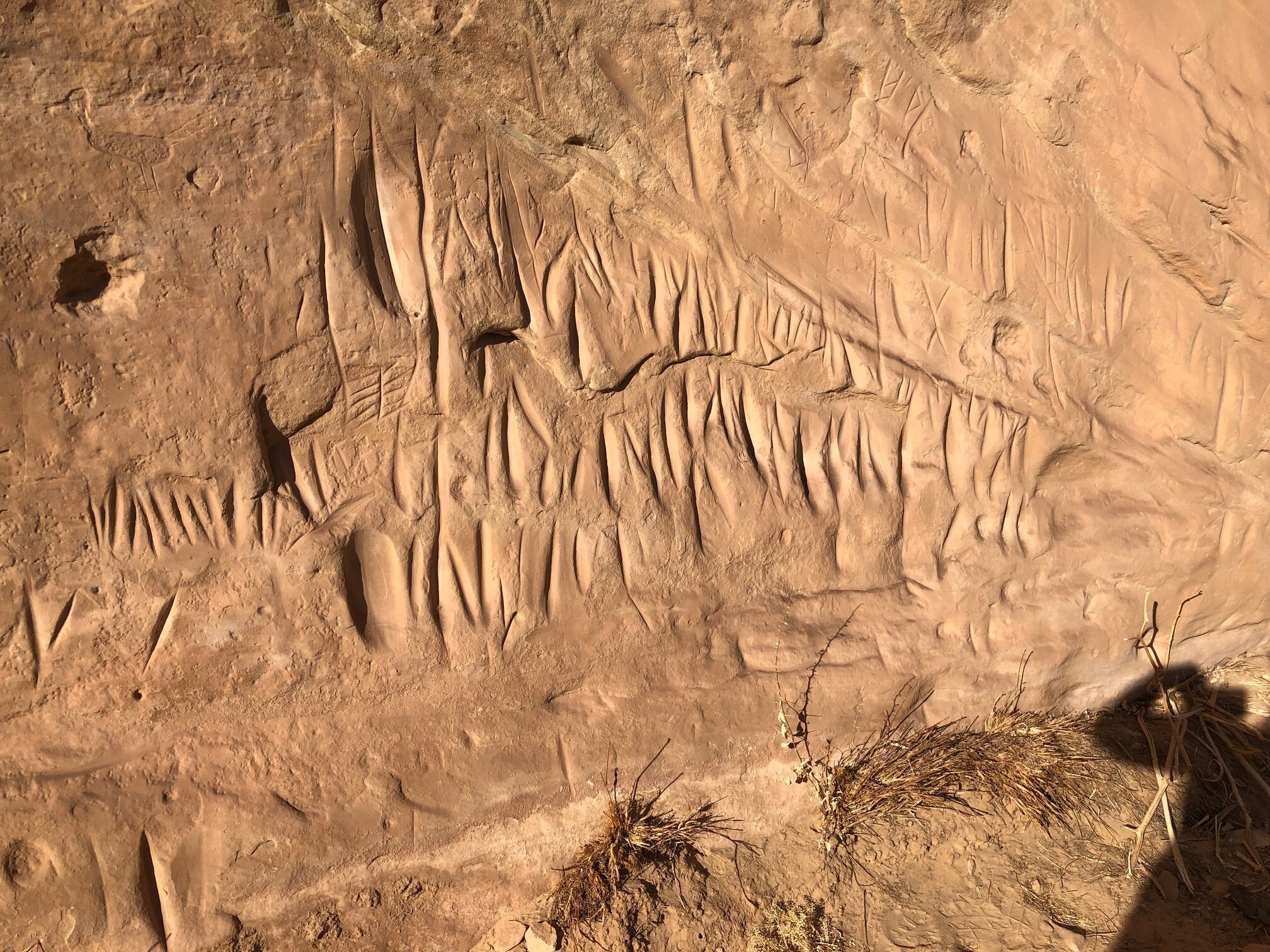
One of the largest panels we have ever seen in person, it was along the San Juan River. Covering 100’s of feet, this segment is roughly 1/10 of the entire panel area.
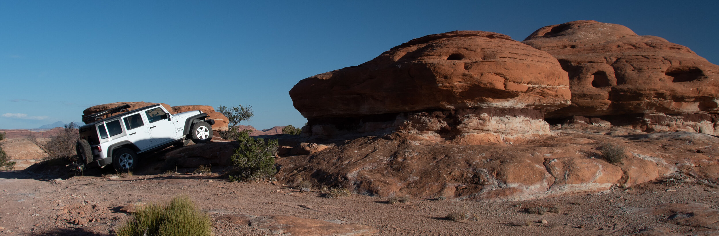
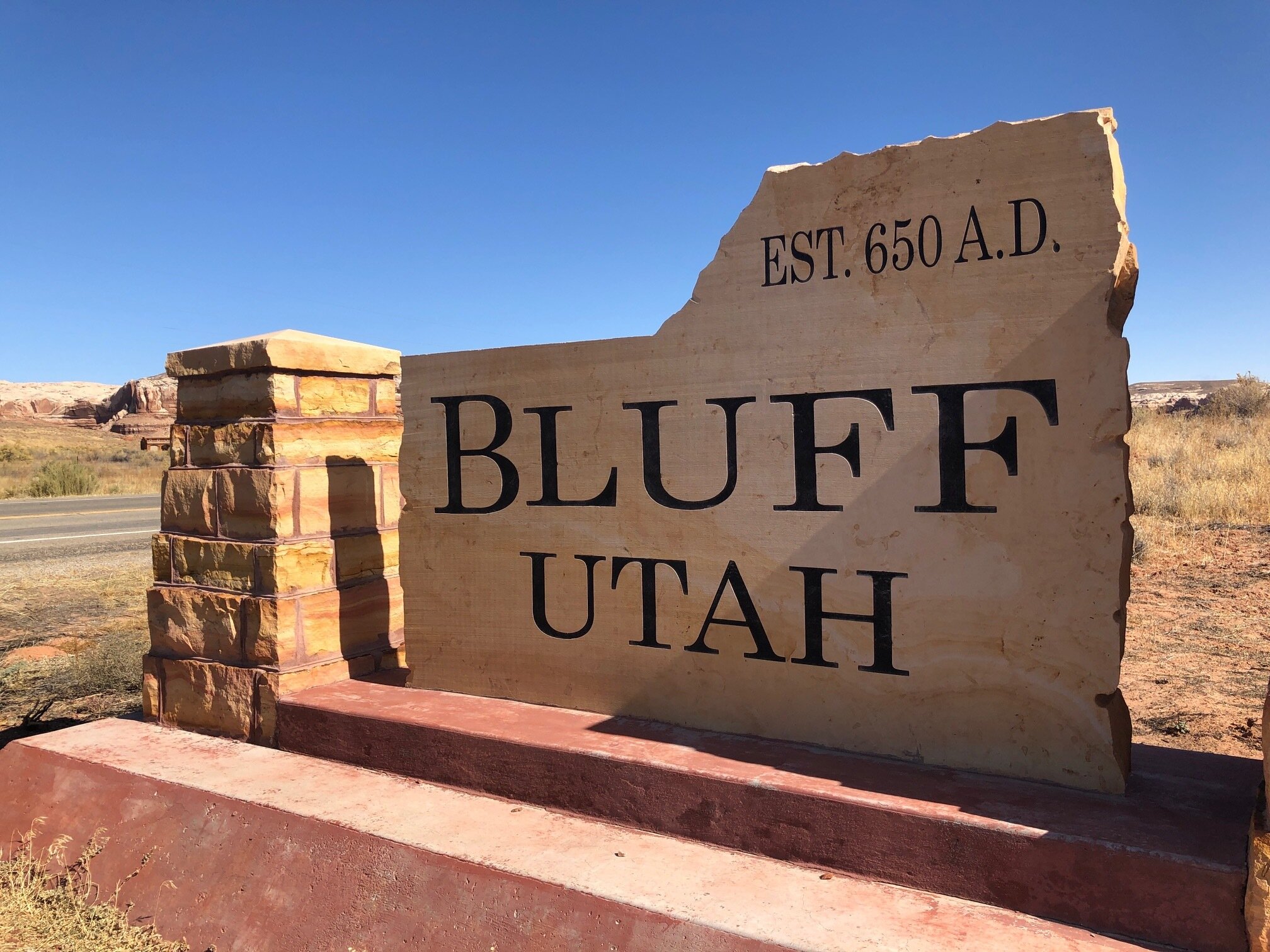
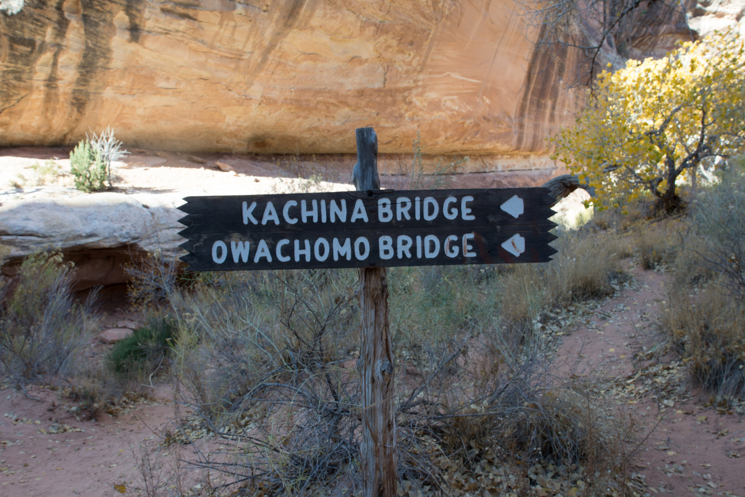
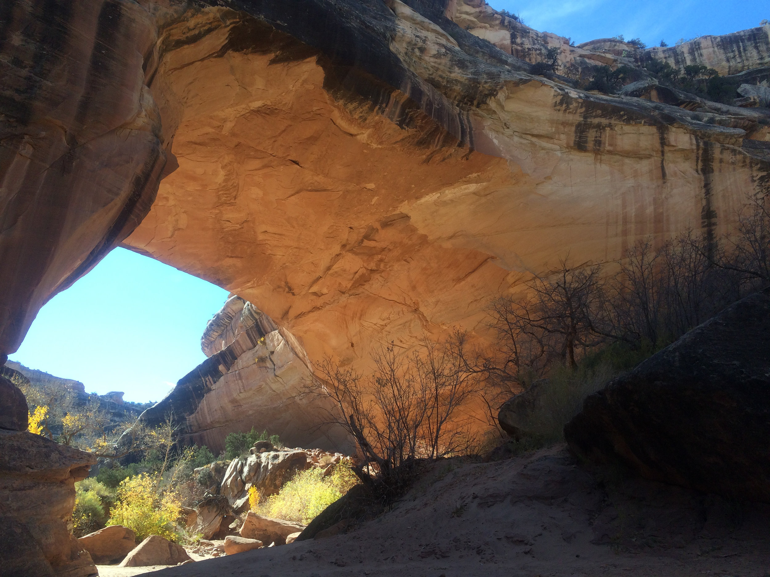
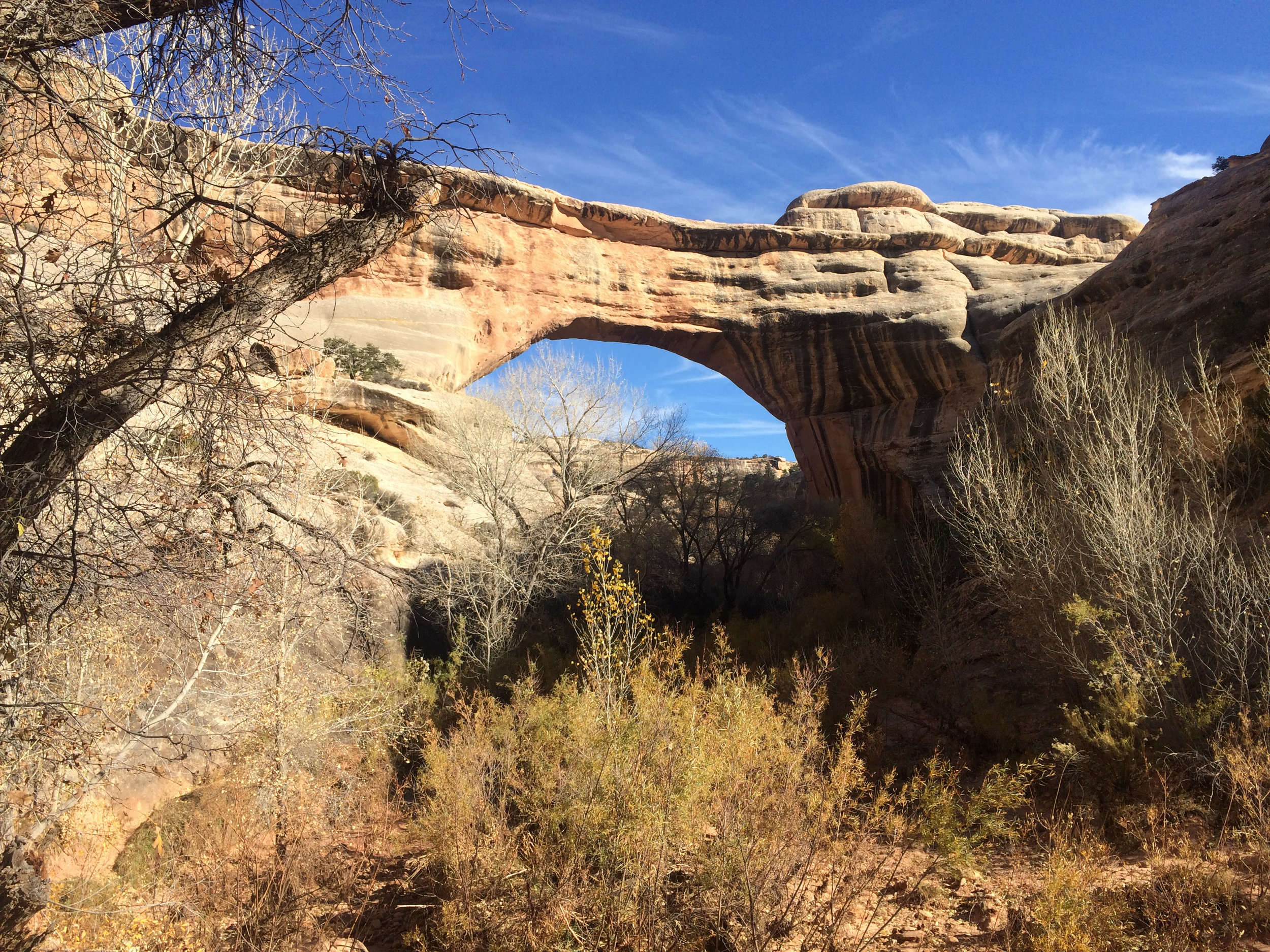
Using the Sand Island Campground , just outside Bluff, UT as our home base, each day we ventured in a different direction. We quickly realized that the week that we had set aside for this area was not going to be enough, so we focused on the Butler Wash and Comb Ridge, a towering sandstone fin running nearly 50 miles from Bear Ears Buttes south into the Navajo Reservation across the San Juan River.
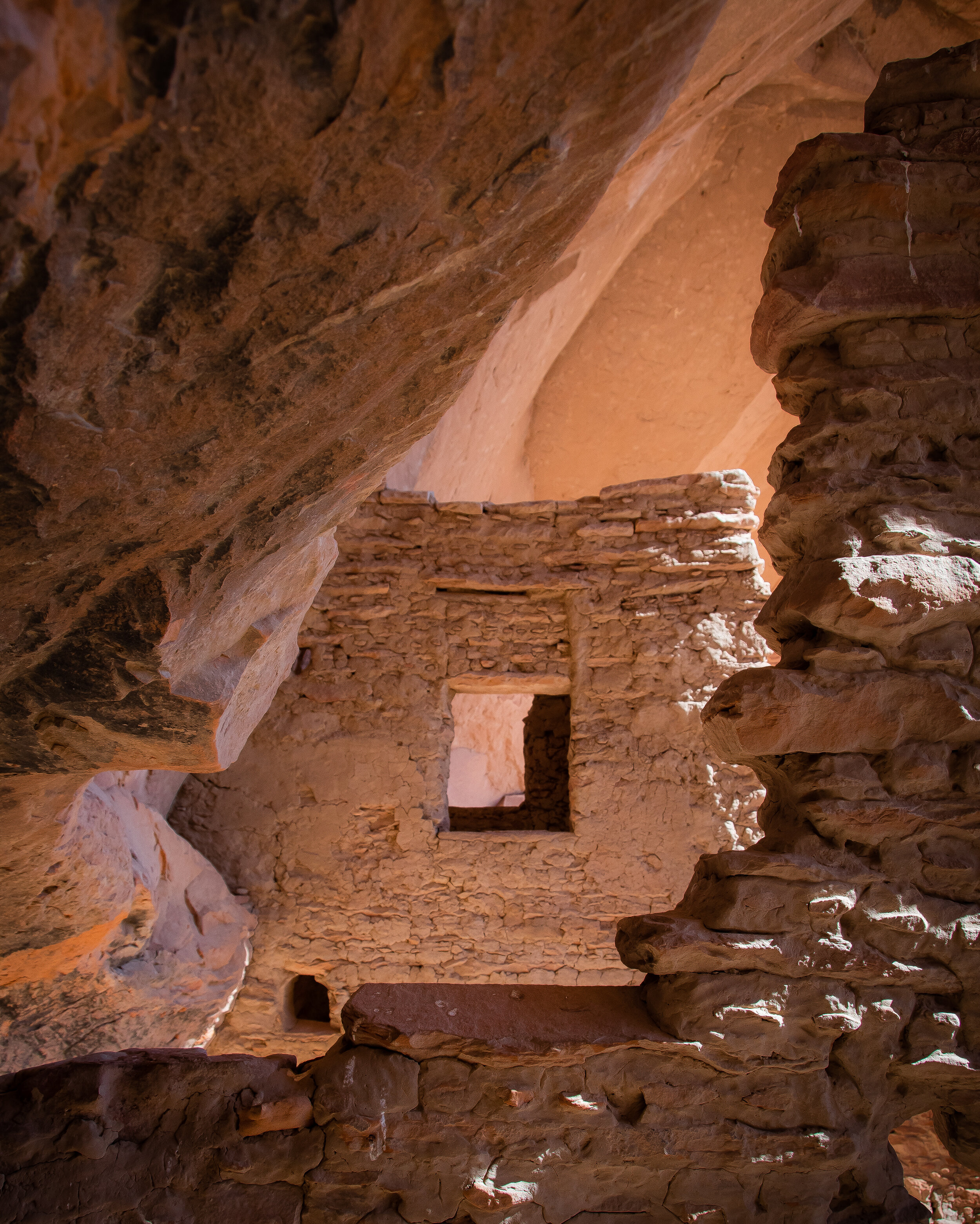
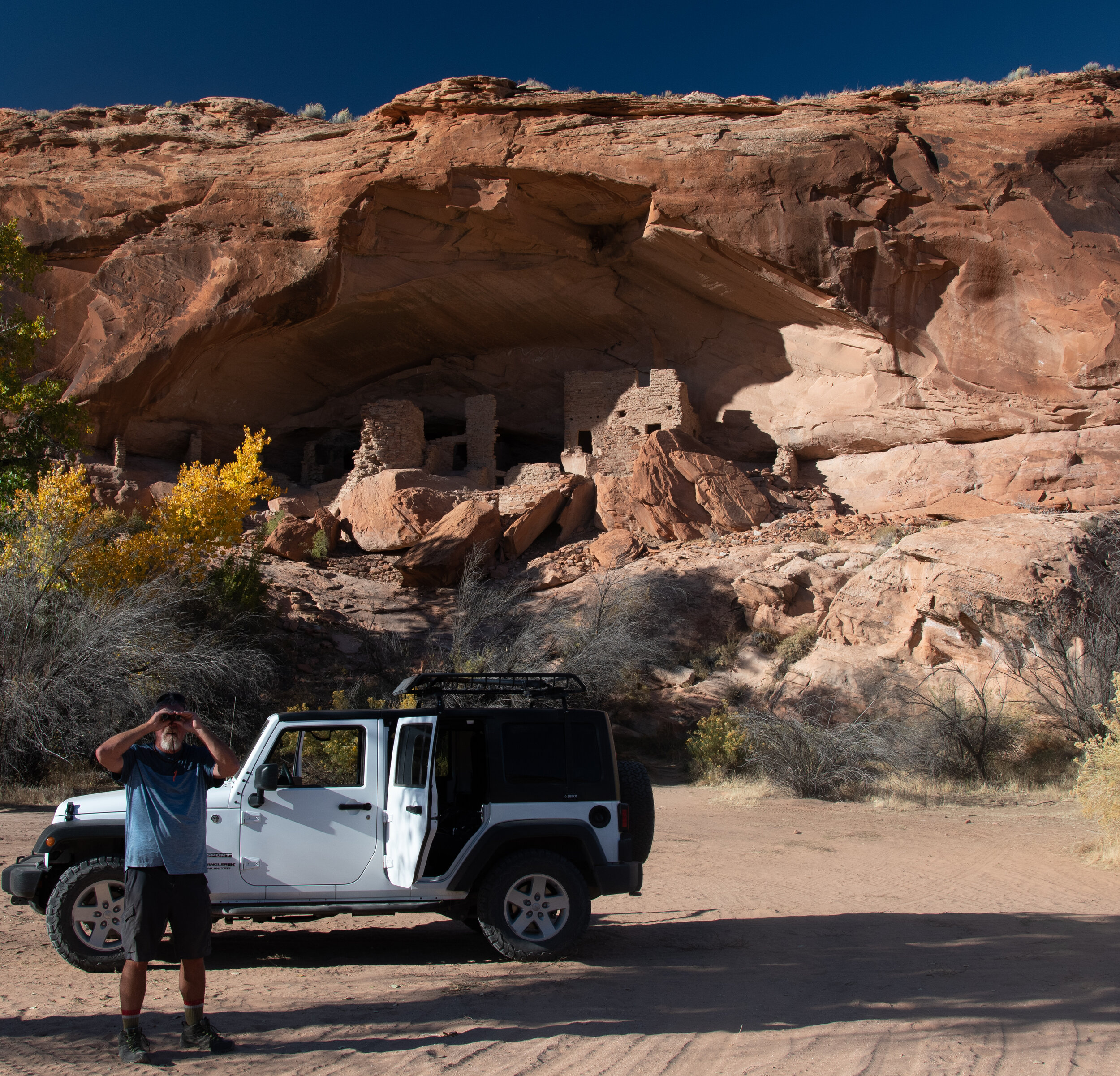
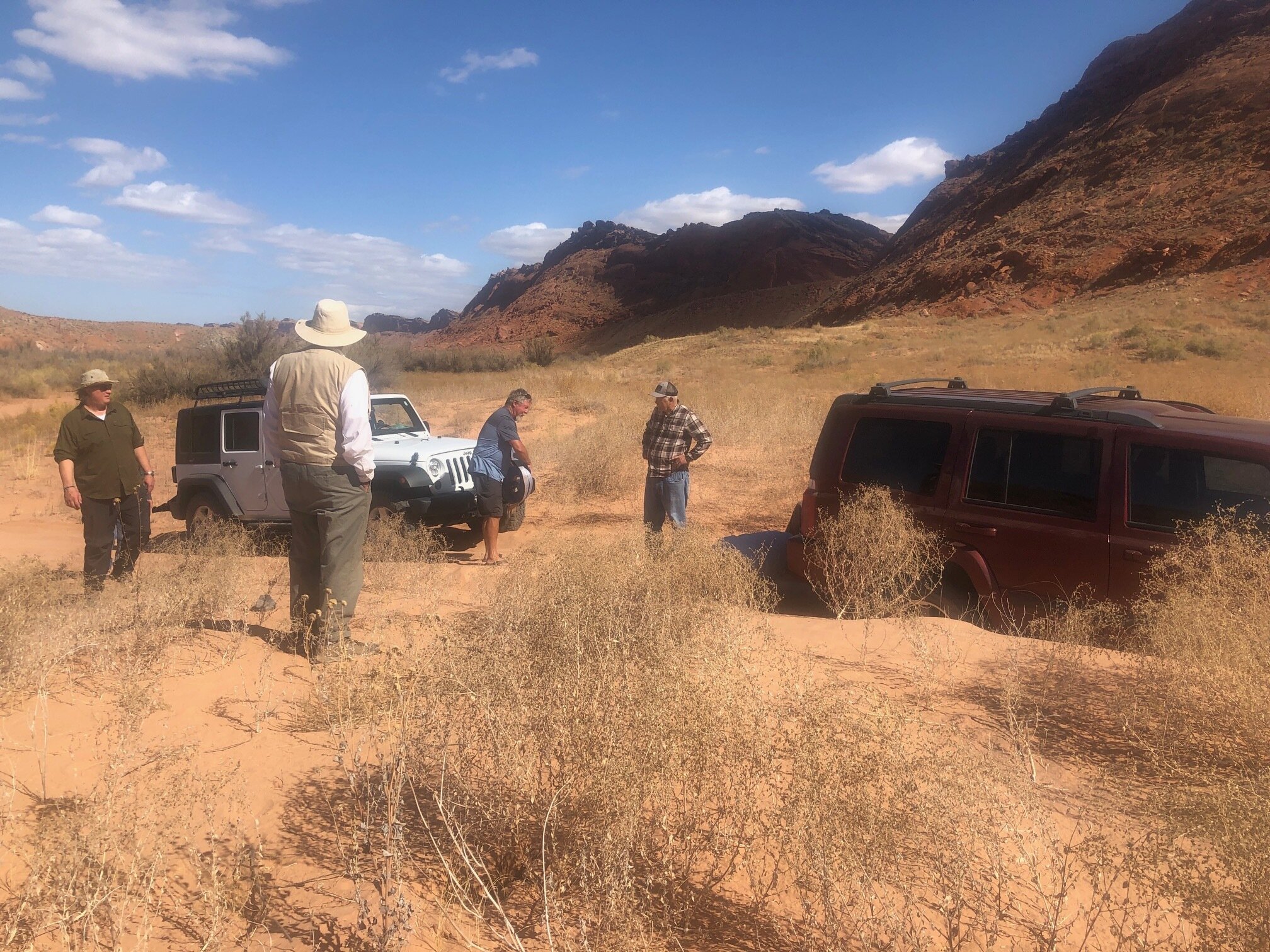
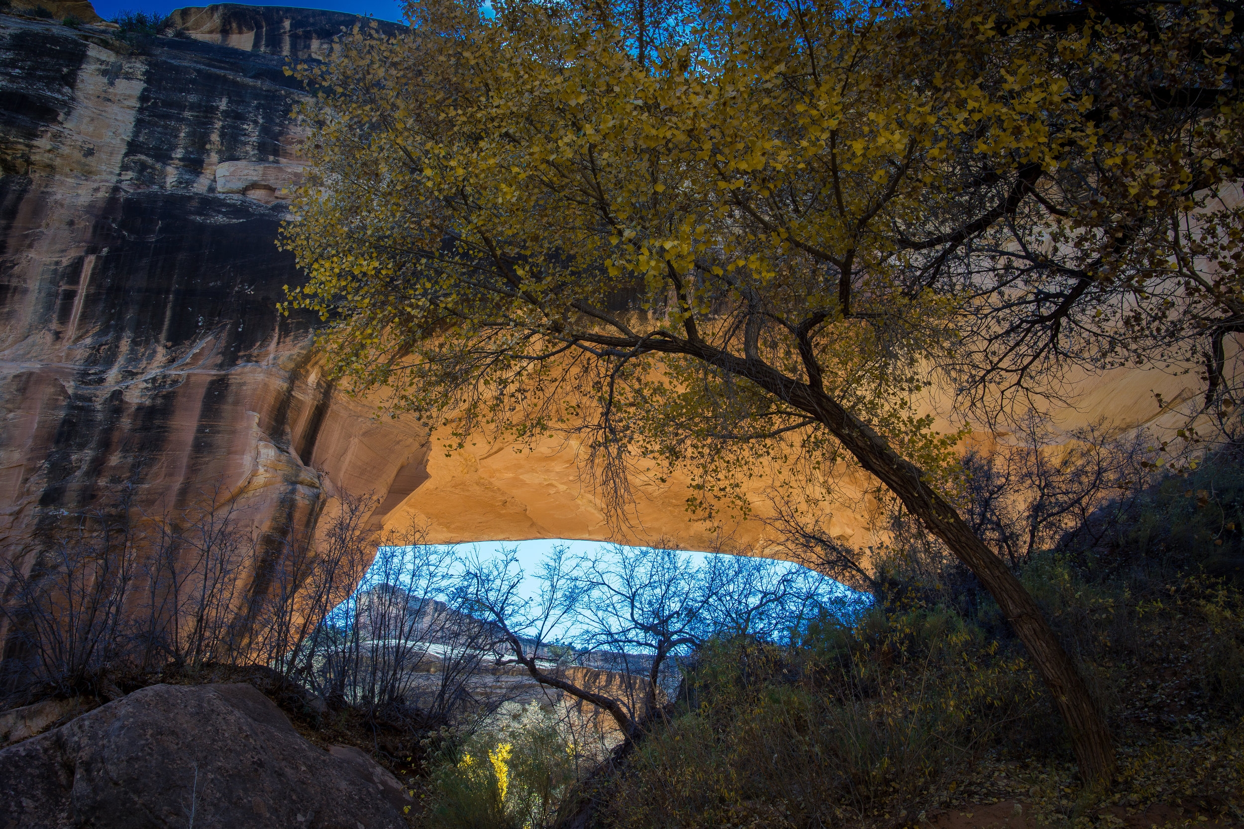
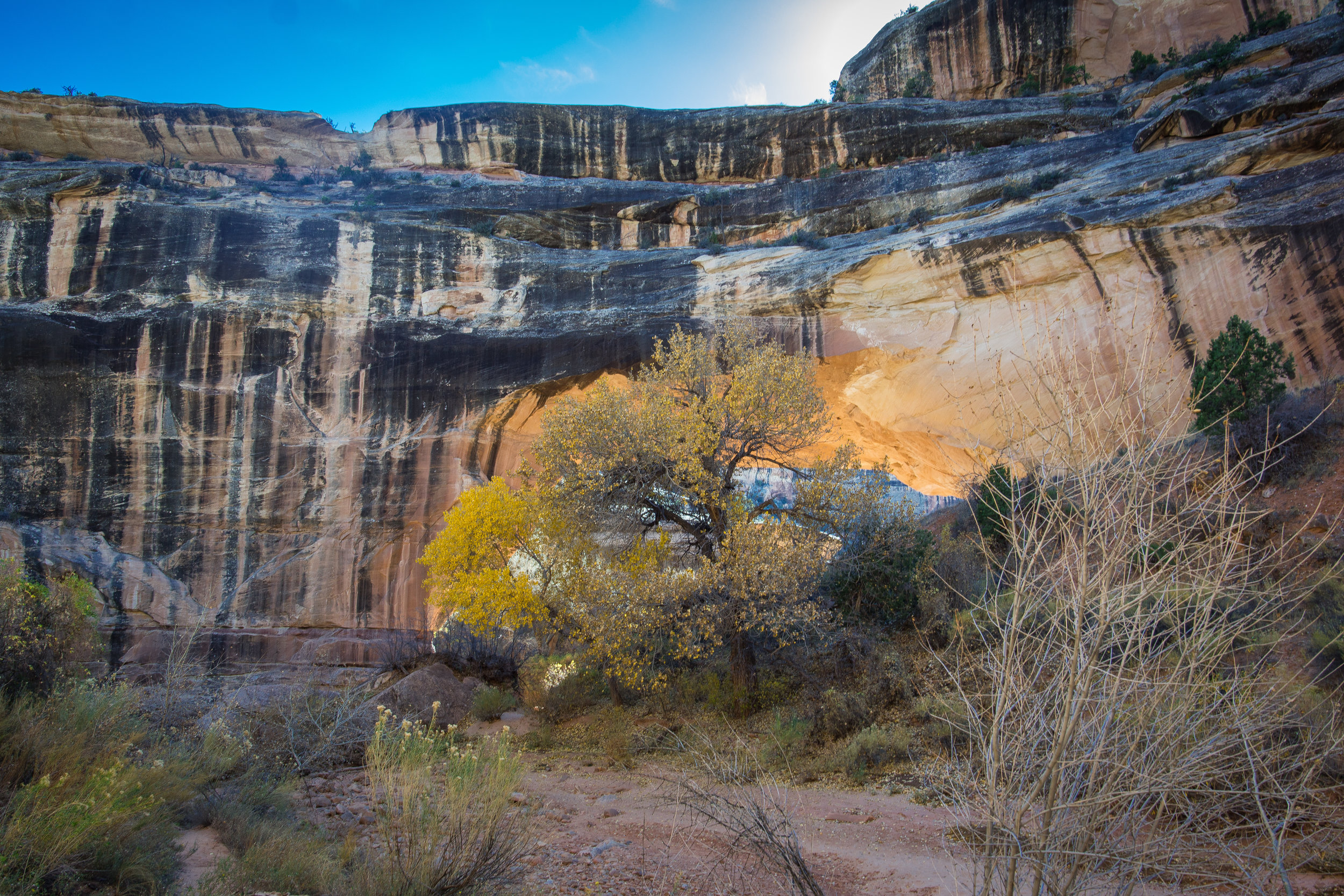
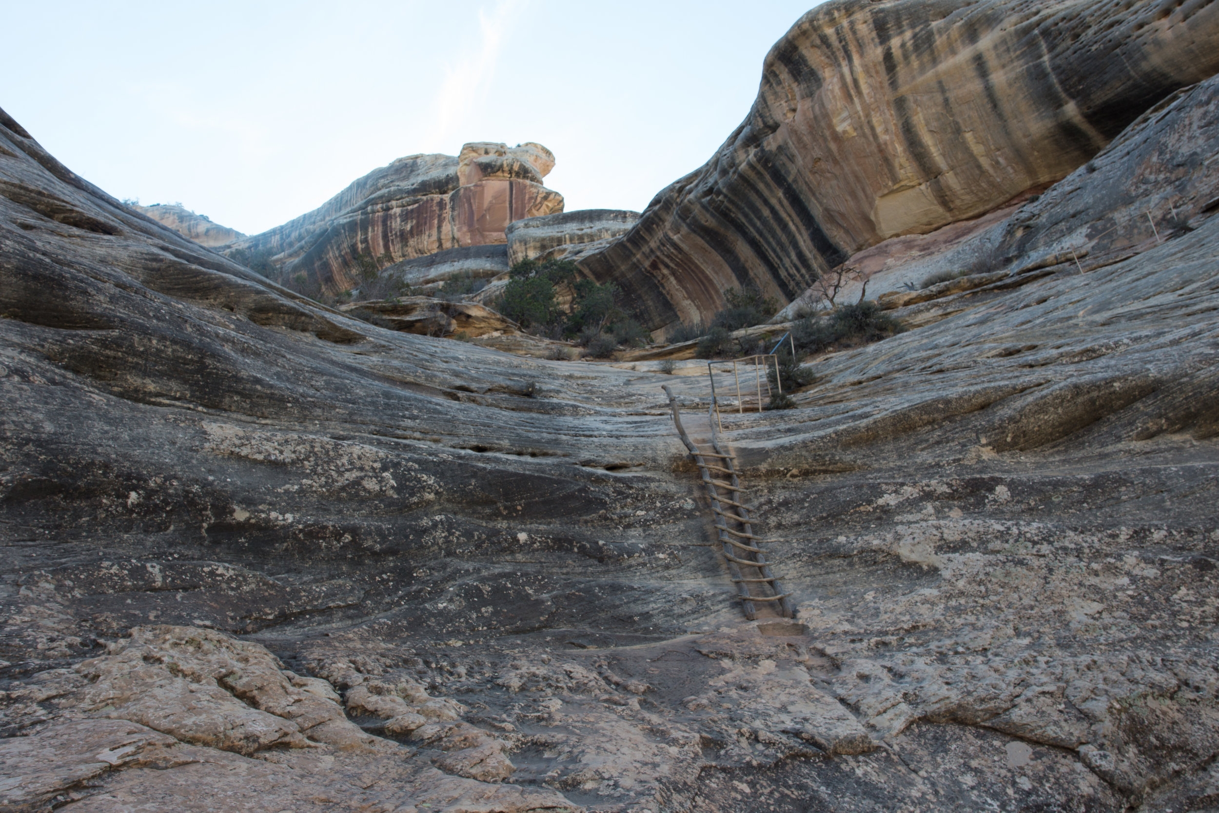
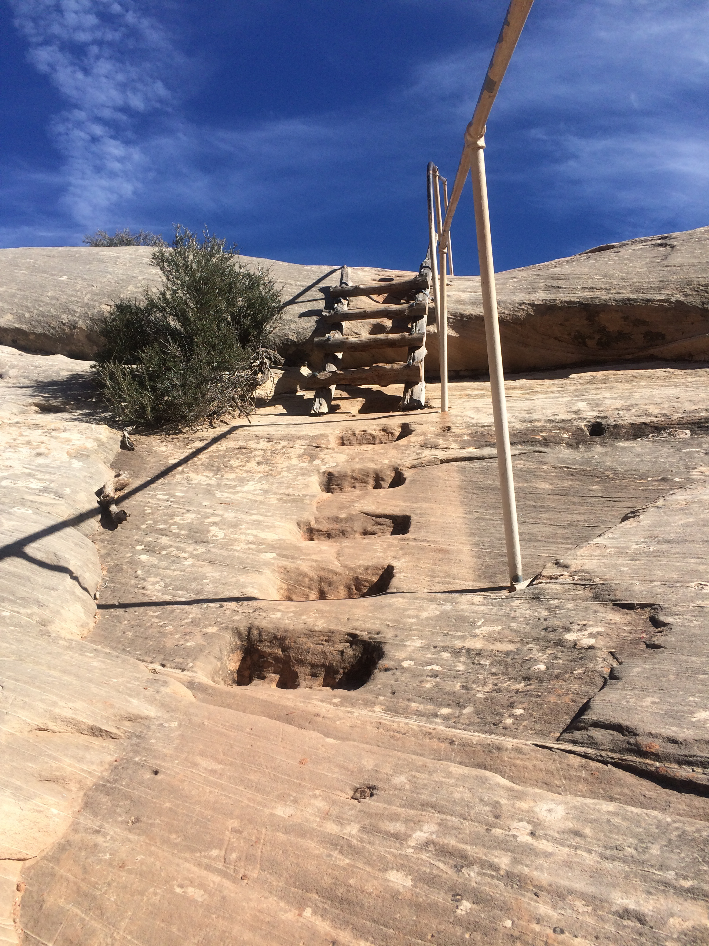
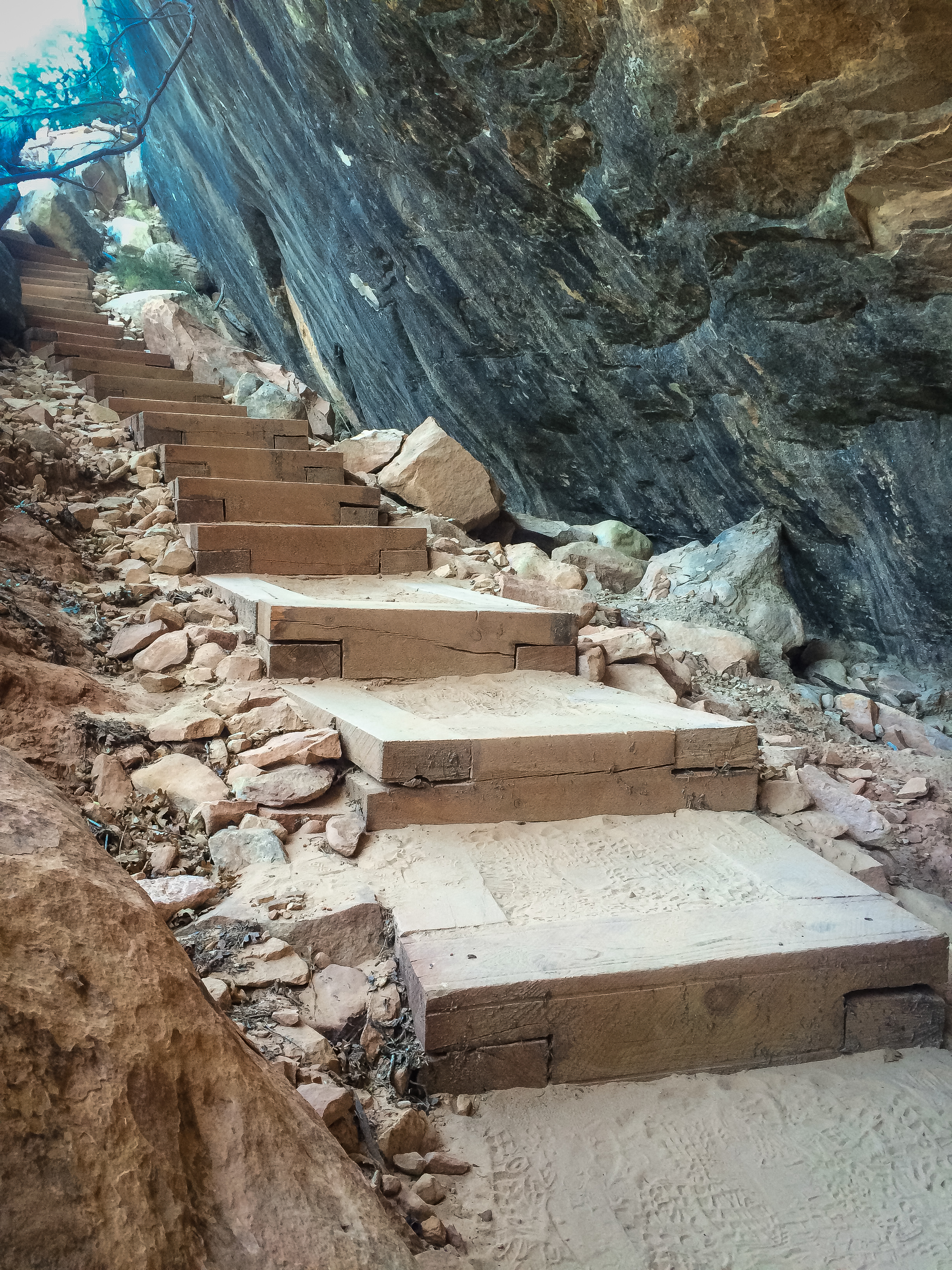
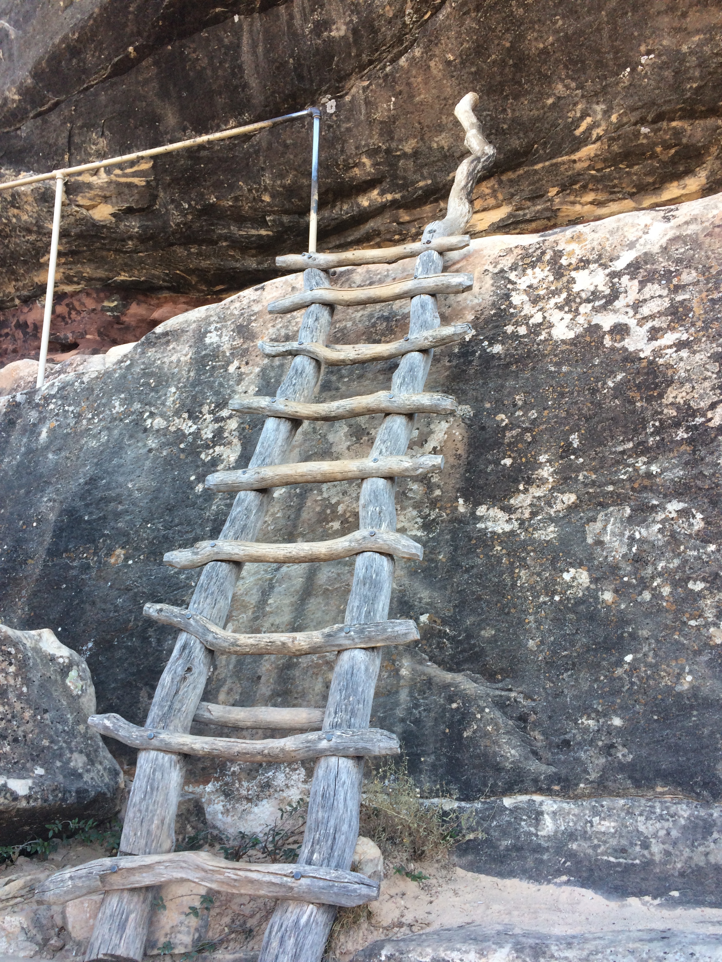
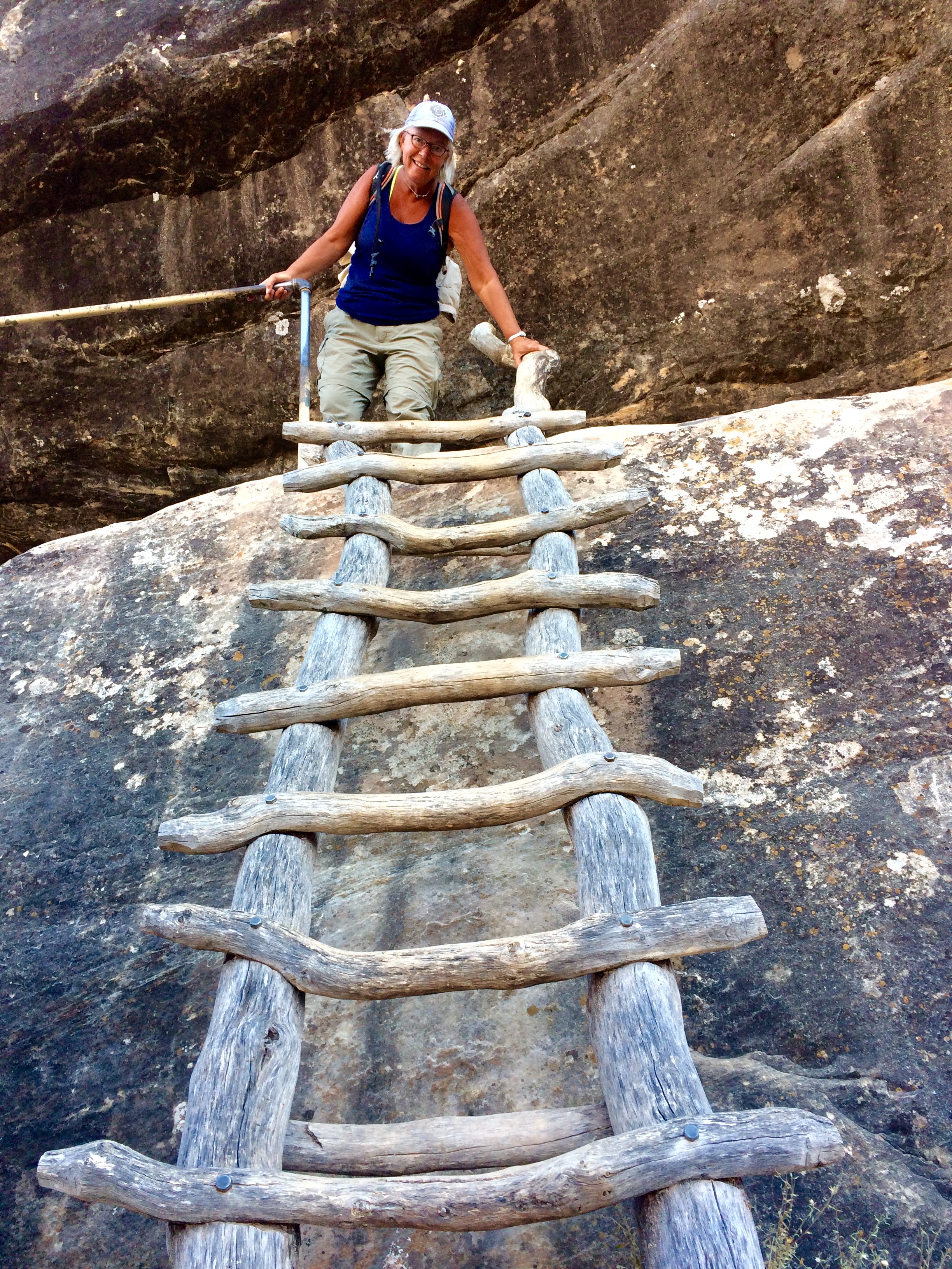
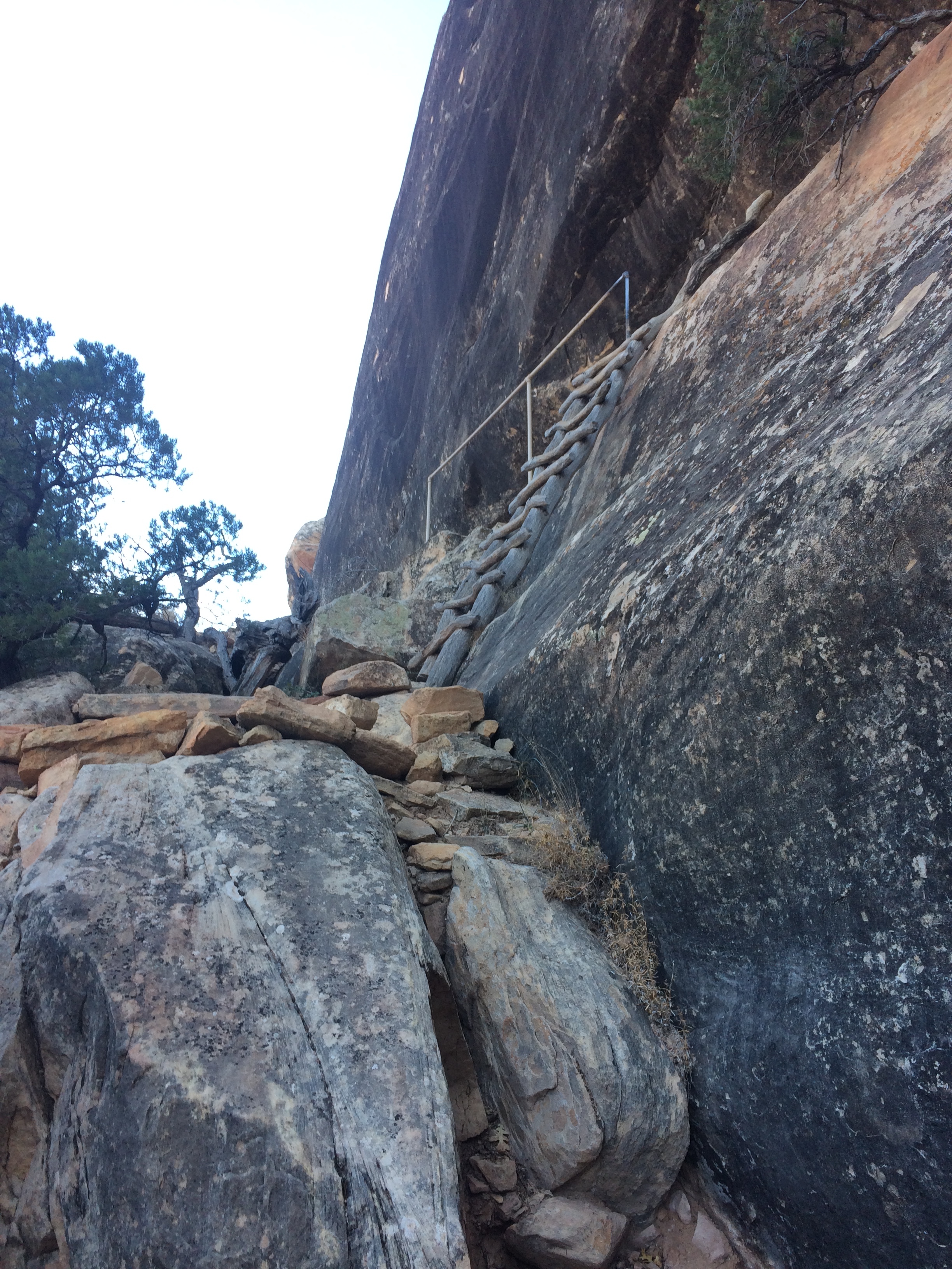
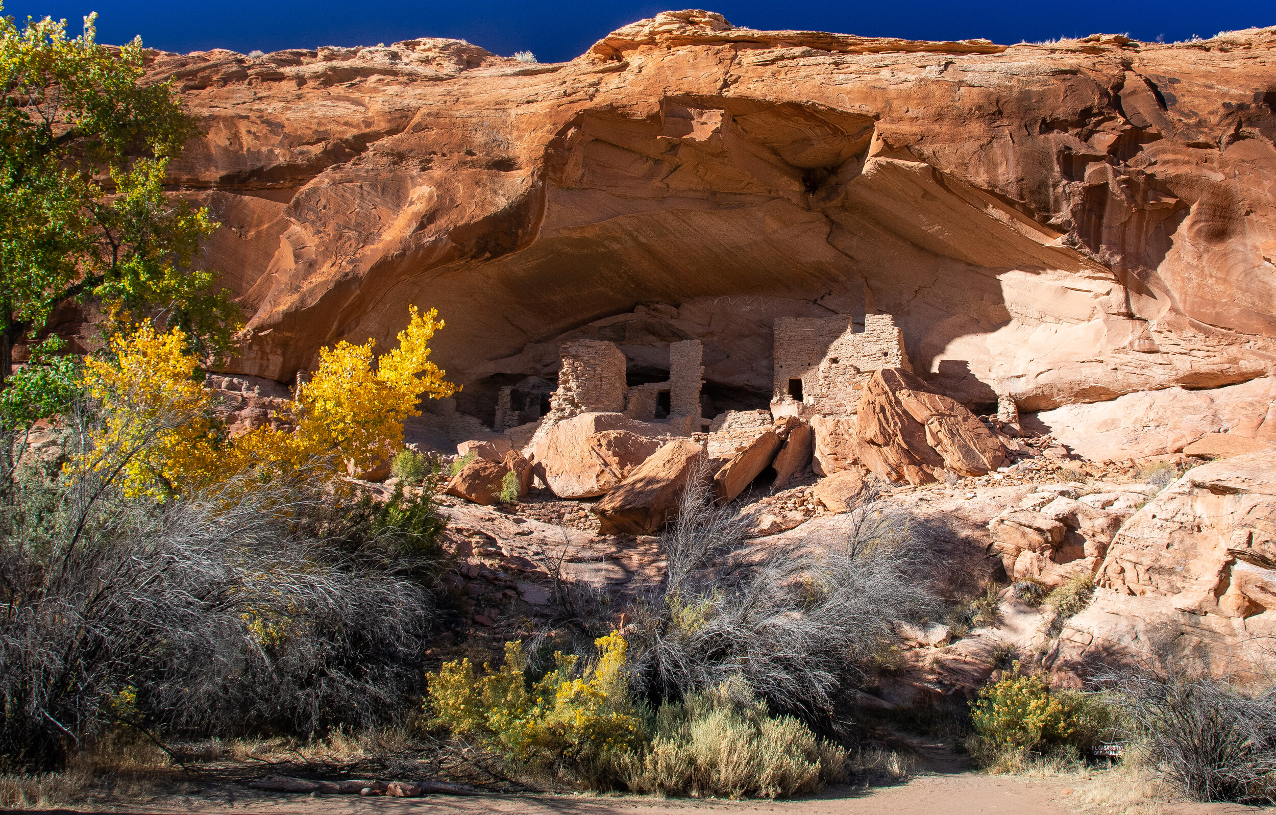
Our first day out we spent on the trail to The River House, an Ancestral Puebloan multi-room home with standing walls and kiva structures that dates from 900 - 1200s A.D. The road to get there was strictly 4wdrive and fortunately for us - Bob had the skills to get us there safely. The majority of people that see this structure, and the Kachina Panel a few miles away, come on guided tours up the San Juan river where they disembark and walk the 1/2 mile or so up to the structure. We ended up assisting two other cars that got stuck in the deep sand and they had to turn back, never reaching the site. The road going in also closely follows the path taken by the early Mormon settlers known as the “Hole in the Rock” road.
Once again, I use the words - “Nothing can quite prepare you for…”
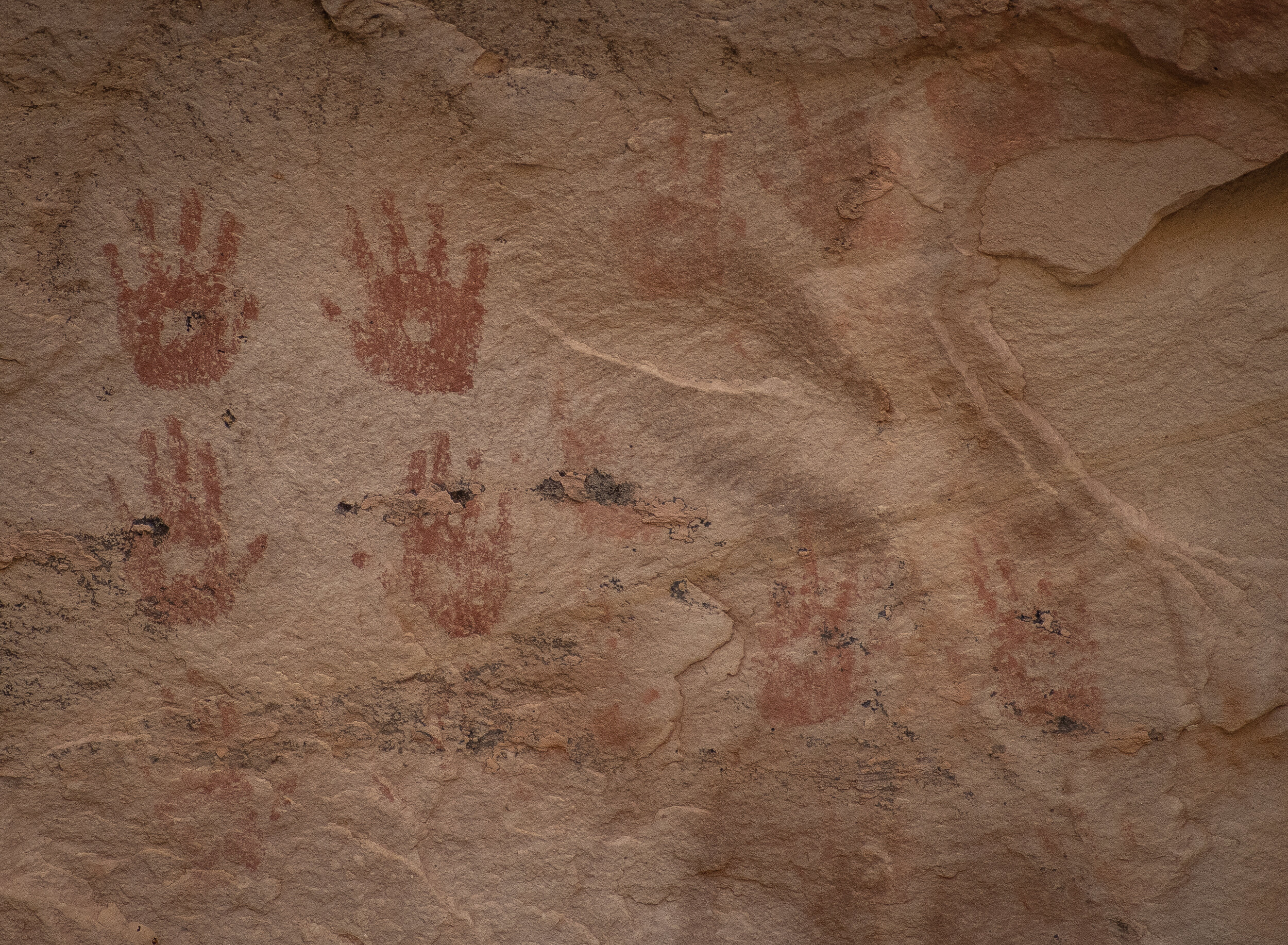
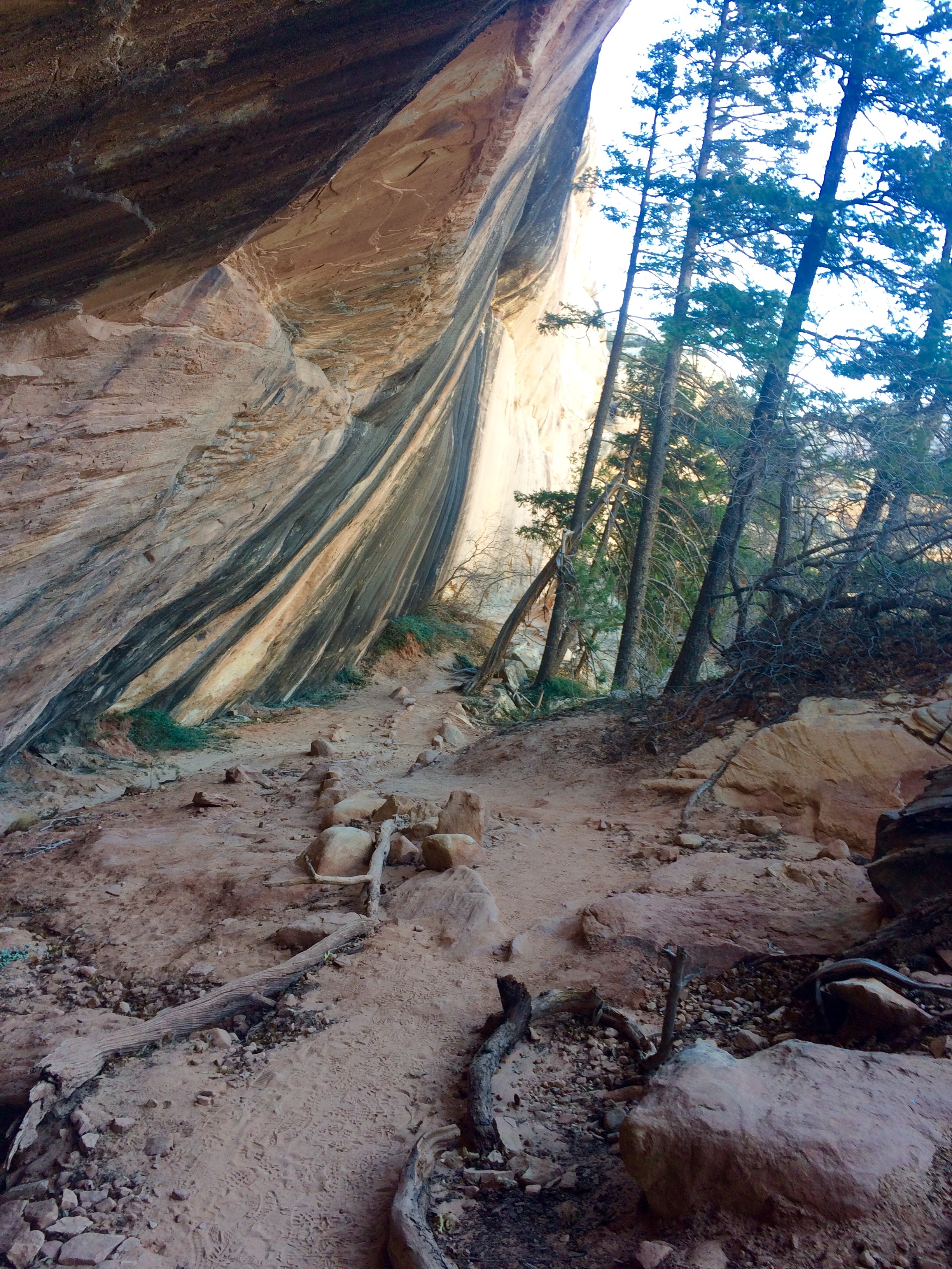
When we finally made it through the softest and deepest part of the sand we climbed up over a large rocky hill that then dropped us down by the river. Another mile or so down the road and we looked up to our left and there was the River House. RIGHT THERE! No searching and missing the right canyon, as we had on other journeys. We got out of the jeep and slowly made our way towards the house, the large cottonwoods surrounding it were just starting to turn bright yellow and the only sounds we heard were the occasional bird or the rustling of the leaves in the wind. You can only stand in awe to realize that this structure has withstood over a thousand years of weather and human interaction. There was a short hike up to see inside, and steps had been put into place at some point to facilitate a safe climb. Over the next hour or so we walked around on the upper ledge, ventured into the small rooms and tried to think about what it must have been like for the people that came before us. The petroglyphs and pictographs were filled with sharp detail and you just have to wonder what the meanings of some are, as there really is no historical reference for many.
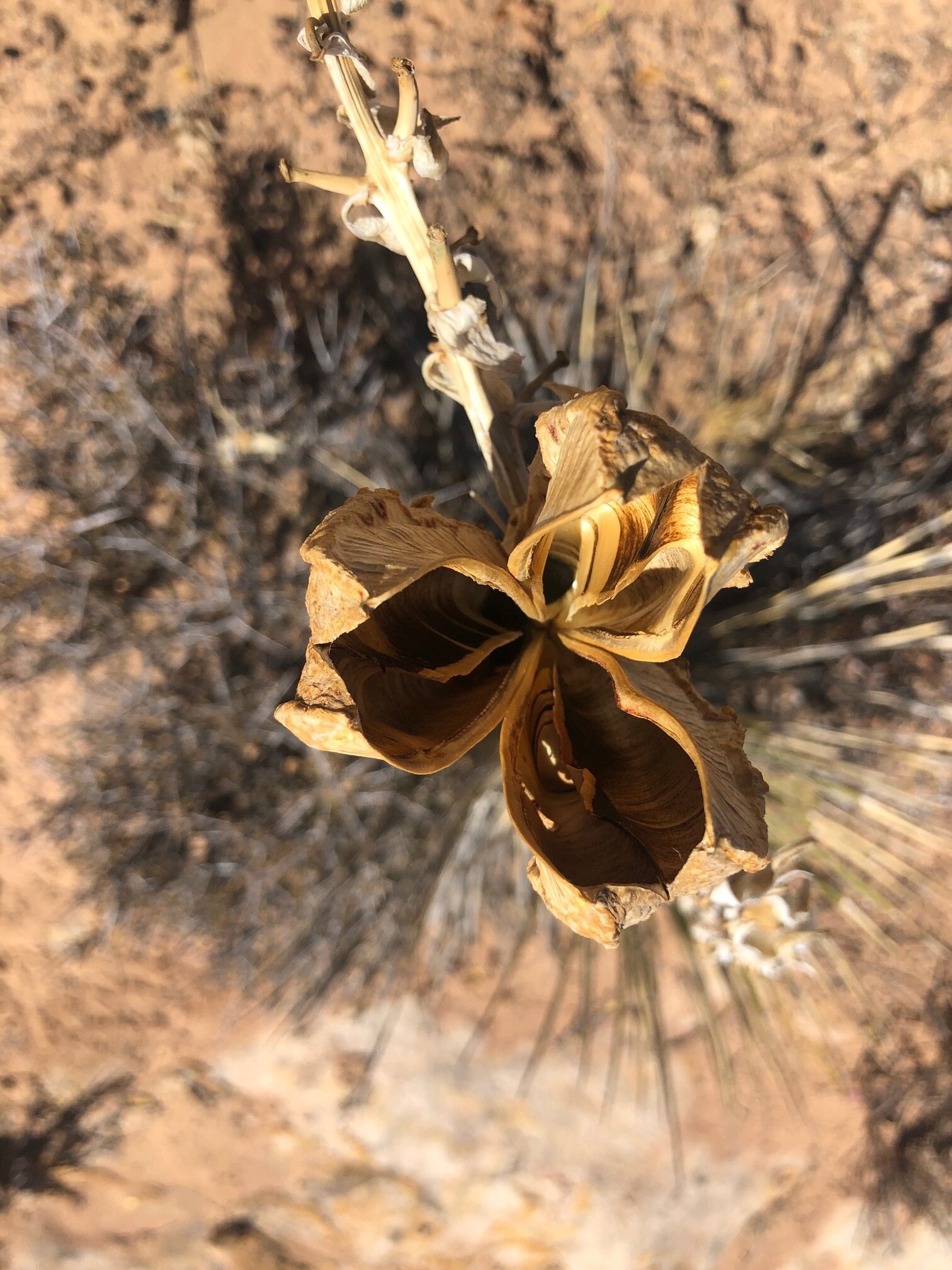
On down the road we arrived at the Kachina Panel, one of the largest we have ever seen in person. There was a large group that had come up from the river and we waited as they made their way around the area. Once they left we had the place to ourselves and the quiet overtook our senses. Pottery chards and small pieces of rocks that were used to make arrows - or tools - littered the ground. Each of us pointing to different pics trying to figure out what they might mean. Yucca plants, bighorn sheep, suns, snakes - some are of course easy to interpret. But then you get these large images that even your best guess will not be close, but it sure is fun trying.
Picnic down by the river, and then back out the deep sand road - I don’t think this area will quickly loose its way from our memories.